Toggle navigation
LMEC Home
Exhibitions
Georeferencing
Tools for Teachers
Collections
My Favorites
Sign Up / Log In
Search
Search the map portal
Map Collection
Map Collection
Map Sets
Search
Search
Search for
Search In
All Fields
Creator
Title
Subject
Place
Search All Digital Collections
Advanced Search
1101 Results
My Search
Start Over
More Like
commonwealth:d504v2728
Remove constraint More Like: commonwealth:d504v2728
Filter your Search
Place
North and Central America
1,097
United States
1,092
Suffolk (county)
1,077
Boston
1,076
Massachusetts
774
Roxbury
59
South End
56
Fens
41
more
Place
»
Topic
Boston (Mass.)--Maps
752
City planning--Massachusetts--Boston--Maps
418
Urban renewal--Massachusetts--Boston--Maps
253
Real property--Massachusetts--Boston--Maps
136
Land use--Massachusetts--Boston--Maps
102
Buildings--Massachusetts--Boston--Maps
93
Landowners--Massachusetts--Boston--Maps
79
Roxbury (Boston, Mass.)--Maps
58
more
Topic
»
Date
Date range begin
–
Date range end
Current results range from
1743
to
2023
View distribution
Creator
Boston Redevelopment Authority
386
Geo. H. Walker & Co
27
Boynton, George W., d. 1884
21
Sampson, Davenport & Co
21
Sampson, Murdock & Co
20
Bromley, George Washington
18
Bromley, Walter Scott
17
Lufkin, Richard F. (Richard Friend)
17
more
Creator
»
Format
Maps/Atlases
1,100
Manuscripts
9
Drawings/Illustrations
3
Prints
1
Georeferenced
Yes
98
No
1,003
Collection
Boston and New England Maps
921
Urban Maps
820
Norman B. Leventhal Map & Education Center Collection
680
Boston Redevelopment Authority Collection
447
American Revolutionary War-Era Maps
25
Mapping Boston Collection
20
Massachusetts Real Estate Atlases
12
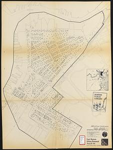
William L. Clements Library Collection
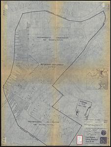
10
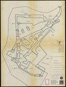
more
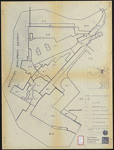
Collection
»
Available to use
No known restrictions
1,033
Creative Commons license
34
Search Constraints
Sort by relevance
relevance
title
date (asc)
date (desc)
Number of results to display per page
20 per page
10
per page
20
per page
50
per page
100
per page
View results as:
grid view
map view
Search Results
121.
Cooperative housing : Whitney Street
122.
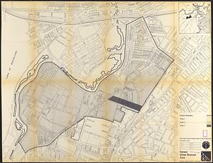
Development of the Calfpasture, Boston, Massachusetts
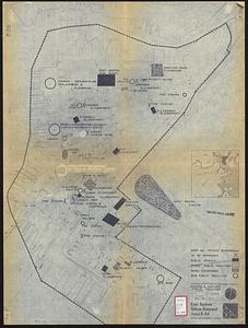
123.
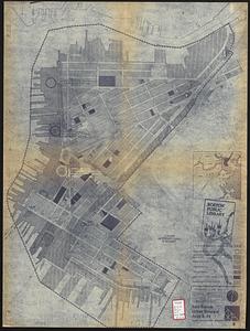
East Boston urban renewal area r-44 : existing & proposed public facilities
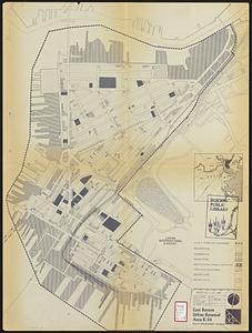
124.
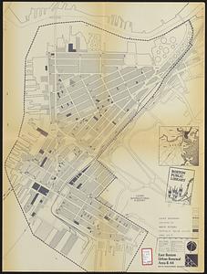
East Boston urban renewal area r-44 : proposed circulation
125.
East Boston urban renewal area r-44 : existing circulation
126.
East Boston urban renewal area r-44 : proposed land use
127.
East Boston urban renewal area r-44 : existing land use
128.
East Boston urban renewal area r-44 : building conditions
129.
East Boston urban renewal area r-44 : existing population density
130.
East Boston urban renewal area r-44 : proposed treatment title I project
131.
East Boston urban renewal area r-44 : existing zoning
132.
East Boston urban renewal area r-44 : proposed zoning
133.
Fenway urban renewal area : major thoroughfares
134.
Fenway urban renewal area : blighted areas
135.
Fenway urban renewal area : locality map
136.
Fenway urban renewal area : existing land use
137.
Fenway urban renewal area : building conditions
138.
Fenway urban renewal area : treatment areas
139.
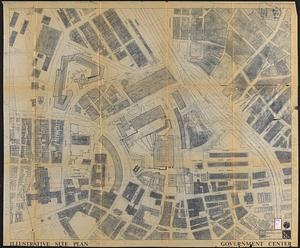
Government Center parcel 8 office tower competition program
140.
Government Center project Mass. r-35 : parcel 7 & subway structure topographic map
‹ Prev
Next ›
1
2
3
4
5
6
7
8
9
10
11
…
55
56