Toggle navigation
LMEC Home
Exhibitions
Georeferencing
Tools for Teachers
Collections
My Favorites
Sign Up / Log In
Search
Search the map portal
Map Collection
Map Collection
Map Sets
Search
Search
Search for
Search In
All Fields
Creator
Title
Subject
Place
Search All Digital Collections
Advanced Search
704 Results
My Search
Start Over
More Like
commonwealth:d504v270q
Remove constraint More Like: commonwealth:d504v270q
Filter your Search
Place
North and Central America
696
United States
693
Suffolk (county)
685
Boston
684
Massachusetts
351
Roxbury
90
South End
56
Charlestown
53
more
Place
»
Topic
City planning--Massachusetts--Boston--Maps
417
Real property--Massachusetts--Boston--Maps
253
Urban renewal--Massachusetts--Boston--Maps
253
Boston (Mass.)--Maps
220
Landowners--Massachusetts--Boston--Maps
141
Buildings--Massachusetts--Boston--Maps
125
Land use--Massachusetts--Boston--Maps
100
Roxbury (Boston, Mass.)--Maps
89
more
Topic
»
Date
Date range begin
–
Date range end
Current results range from
1798
to
2023
View distribution
Creator
Boston Redevelopment Authority
378
Bromley, George Washington
68
Bromley, Walter Scott
68
G.W. Bromley & Co.
46
Wadsworth, Alexander, 1806-1898
19
Hopkins, Griffith Morgan, Jr.
15
Downtown Waterfront Corporation
10
Victor Gruen Associates
10
more
Creator
»
Format
Maps/Atlases
703
Manuscripts
5
Drawings/Illustrations
3
Prints
1
Georeferenced
Yes
13
No
691
Collection
Boston and New England Maps
652
Urban Maps
638
Boston Redevelopment Authority Collection
450
Norman B. Leventhal Map & Education Center Collection
283
Massachusetts Real Estate Atlases
35
Applied Geographics, Inc. Records
2
American Revolutionary War-Era Maps
1
Mapping Boston Collection
1
Available to use
No known restrictions
665
Creative Commons license
3
Search Constraints
Sort by relevance
relevance
title
date (asc)
date (desc)
Number of results to display per page
20 per page
10
per page
20
per page
50
per page
100
per page
View results as:
grid view
map view
Search Results
41.
Charlestown renewal area : existing conditions & proposed treatment areas
42.
Charlestown urban renewal area r-55 : disposition parcels
43.
Charlestown urban renewal area r-55 : building deficiencies
44.
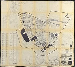
Charlestown urban renewal area r-55 : treatment areas
45.
Charlestown urban renewal area r-55 : building deficiencies
46.
Cooperative housing : Whitney Street
47.
Downtown existing buildings conditions
48.
Downtown waterfront-Faneuil Hall project urban renewal area Massachusetts R-77 : illustrative site plan
49.
Downtown waterfront-Faneuil Hall project urban renewal area Massachusetts R-77 : illustrative site plan
50.
Downtown Waterfront-Faneuil Hall renewal area : building conditions
51.
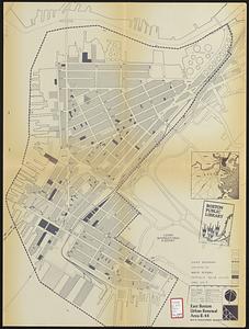
East Boston urban renewal area r-44 : building conditions
52.
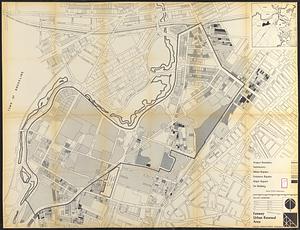
Fenway urban renewal area : building conditions
53.
General plan : Government Center - Boston - 1959
54.
Government Center project Mass. r-35 : parcel 7 & subway structure topographic map
55.
Government Center project no. Mass. r-35 : building deficiencies map
56.
Government Center project no. Mass. r-35 : disposition parcel map
57.
Government Center urban renewal area r-35 parcel-7 : site section 1
58.
Government Center urban renewal area r-35 parcel-7 : site section 2
59.
Illustrative site plan : Government Center
60.
Illustrative site plan : South End urban renewal area, Massachusetts r-56
‹ Prev
Next ›
1
2
3
4
5
6
7
…
35
36