Toggle navigation
LMEC Home
Exhibitions
Georeferencing
Tools for Teachers
Collections
My Favorites
Sign Up / Log In
Search
Search the map portal
Map Collection
Map Collection
Map Sets
Search
Search
Search for
Search In
All Fields
Creator
Title
Subject
Place
Search All Digital Collections
Advanced Search
494 Results
My Search
Start Over
More Like
commonwealth:cr56qj54g
Remove constraint More Like: commonwealth:cr56qj54g
Filter your Search
Place
North and Central America
491
United States
488
Suffolk (county)
481
Boston
479
Massachusetts
181
Roxbury
56
South End
50
Fens
47
more
Place
»
Topic
City planning--Massachusetts--Boston--Maps
418
Urban renewal--Massachusetts--Boston--Maps
253
Boston (Mass.)--Maps
122
Land use--Massachusetts--Boston--Maps
101
Buildings--Massachusetts--Boston--Maps
81
Real property--Massachusetts--Boston--Maps
64
Roxbury (Boston, Mass.)--Maps
52
Fenway (Boston, Mass.)--Maps
47
more
Topic
»
Date
Date range begin
–
Date range end
Current results range from
1835
to
2020
View distribution
Creator
Boston Redevelopment Authority
369
Bromley, George Washington
10
Bromley, Walter Scott
10
Downtown Waterfront Corporation
10
Victor Gruen Associates
10
Boston (Mass.). Parks and Recreation Department
8
G.W. Bromley & Co.
6
Sasaki Associates
6
more
Creator
»
Format
Maps/Atlases
493
Drawings/Illustrations
3
Manuscripts
1
Prints
1
Georeferenced
Yes
5
No
489
Collection
Boston and New England Maps
484
Urban Maps
468
Boston Redevelopment Authority Collection
439
Norman B. Leventhal Map & Education Center Collection
108
Available to use
No known restrictions
492
Creative Commons license
1
Search Constraints
Sort by relevance
relevance
title
date (asc)
date (desc)
Number of results to display per page
20 per page
10
per page
20
per page
50
per page
100
per page
View results as:
grid view
map view
Search Results
121.
Government Center project no. Mass. r-35 : building deficiencies map
122.
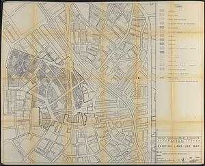
Government Center project no. Mass. r-35 : existing land use map
123.
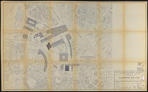
Government Center project no. Mass. r-35 : illustrative site plan
124.
Government Center project no. Mass. r-35 : disposition parcel map
125.
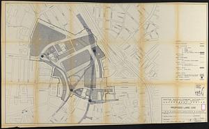
Government Center project no. Mass. r-35 : proposed land use
126.
Government Center project no. Mass. r-35 : proposed land use map
127.
Government Center project no. Mass. r-35 : subway adjustments plan
128.
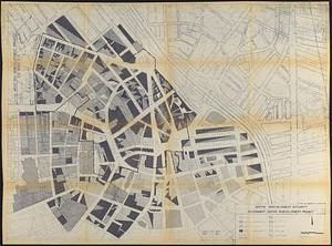
Government Center redevelopment project : land use map
129.
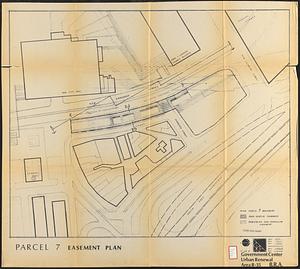
Government Center urban renewal area r-35 : parcel-7 easement plan
130.
Government Center urban renewal area r-35 parcel-7 : site section 1
131.
Government Center urban renewal area r-35 parcel-7 : site section 2
132.
Illustrative re-use site plan for the regional core
133.
Illustrative site plan : Government Center
134.
Illustrative site plan : a proposal for community review South End/Lower Roxbury development policy
135.
Illustrative site plan : South End urban renewal area, Massachusetts r-56
136.
Illustrative site plan : a proposal for community review South End/Lower Roxbury development policy
137.
Index to planning districts
138.
Locality map
139.
Mattapan project : building deficiencies
140.
Mattapan project : property map
‹ Prev
Next ›
1
2
3
4
5
6
7
8
9
10
11
…
24
25