Toggle navigation
LMEC Home
Exhibitions
Georeferencing
Tools for Teachers
Collections
My Favorites
Sign Up / Log In
Search
Search the map portal
Map Collection
Map Collection
Map Sets
Search
Search
Search for
Search In
All Fields
Creator
Title
Subject
Place
Search All Digital Collections
Advanced Search
8658 Results
My Search
Start Over
More Like
commonwealth:cj82p3183
Remove constraint More Like: commonwealth:cj82p3183
Filter your Search
Place
North and Central America
5,897
United States
4,815
Massachusetts
2,070
Europe
1,392
Suffolk (county)
1,041
Boston
1,014
Canada
449
Asia
437
more
Place
»
Topic
Boston (Mass.)--Maps
583
United States--Maps
279
Real property--Massachusetts--Boston--Maps
175
Massachusetts--Maps
162
Landowners--Massachusetts--Boston--Maps
133
North America--Maps--Early works to 1800
103
New England--Maps
101
Europe--Maps
79
more
Topic
»
Date
Date range begin
–
Date range end
Current results range from
1482
to
2023
View distribution
Creator
United States. Hydrographic Office
595
O.H. Bailey & Co
148
Des Barres, Joseph F. W. (Joseph Frederick Wallet), 1722-1824
123
United States. Post Office Dept
120
Ptolemy, 2nd cent
100
Walling, Henry Francis, 1825-1888
94
Geological Survey (U.S.)
87
Jefferys, Thomas, -1771
85
more
Creator
»
Format
Maps/Atlases
8,598
Manuscripts
215
Prints
56
Books
36
Objects/Artifacts
10
Drawings/Illustrations
8
Posters
5
Georeferenced
Yes
869
No
7,789
Collection
Norman B. Leventhal Map & Education Center Collection
8,648
Boston and New England Maps
2,222
Urban Maps
1,991
Maritime Charts and Atlases
1,083
American Revolutionary War-Era Maps
615
Boston Redevelopment Authority Collection
87
Massachusetts Real Estate Atlases
10
Applied Geographics, Inc. Records
1
more
Collection
»
Available to use
No known restrictions
8,506
Creative Commons license
47
Search Constraints
Sort by relevance
relevance
title
date (asc)
date (desc)
Number of results to display per page
20 per page
10
per page
20
per page
50
per page
100
per page
View results as:
grid view
map view
Search Results
1.
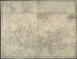
Richards standard atlas of the city of Lynn and the towns of Swampscott, Saugus, and Nahant, Massachusetts
2.
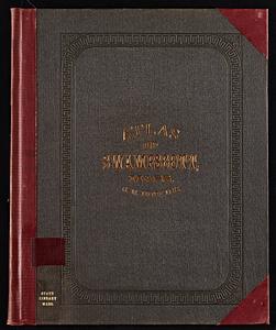
Atlas of the city of Lynn, Massachusetts : including, also, the towns of Swampscott and Saugus : based upon, and carefully...
3.
Atlas of the City of Lynn, Massachusetts, including also, the towns of Swampscott and Saugus
4.
Atlas of the City of Lynn, Massachusetts, including also, the towns of Swampscott and Saugus
5.
Atlas of Essex County, Massachusetts
6.
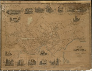
Map of Swampscott, Nahant & Saugus
7.
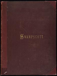
Atlas of the town of Swampscott, Essex County, Mass. : from official plans and actual surveys
8.
Plan of properties at Galloupe's Point : Swampscott, Mass.
9.
Plan of Sea Shore Estate situated in Swampscott, Mass.
10.
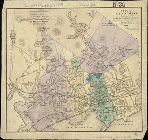
Map of the city of Lynn Massachusetts
11.
Plan of the city of Lynn Mass. from actual surveys
12.
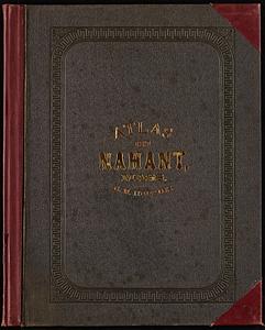
Atlas of the town of Nahant, Essex County, Mass.
13.
Atlas of the town of Nahant, Massachusetts
14.
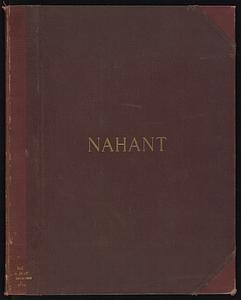
Town of Nahant
15.
Atlas of the town of Swampscott, Essex County, Mass. : from official plans and actual surveys
16.
Atlas of the town of Swampscott, Massachusetts
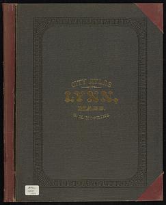
17.
City atlas of Lynn, Massachusetts : from official records, private plans and actual surveys
18.
Map of Lynn and Saugus : settled in 1629
19.
City of Lynn, Mass
20.
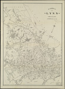
City of Lynn, Mass
‹ Prev
Next ›
1
2
3
4
5
…
432
433