Toggle navigation
LMEC Home
Exhibitions
Georeferencing
Tools for Teachers
Collections
My Favorites
Sign Up / Log In
Search
Search the map portal
Map Collection
Map Collection
Map Sets
Search
Search
Search for
Search In
All Fields
Creator
Title
Subject
Place
Search All Digital Collections
Advanced Search
8652 Results
My Search
Start Over
More Like
commonwealth:cj82m6394
Remove constraint More Like: commonwealth:cj82m6394
Filter your Search
Place
North and Central America
5,891
United States
4,809
Massachusetts
2,069
Europe
1,392
Suffolk (county)
1,042
Boston
1,015
Canada
449
Asia
437
more
Place
»
Topic
Boston (Mass.)--Maps
584
United States--Maps
279
Real property--Massachusetts--Boston--Maps
175
Massachusetts--Maps
162
Landowners--Massachusetts--Boston--Maps
133
North America--Maps--Early works to 1800
103
New England--Maps
101
Europe--Maps
79
more
Topic
»
Date
Date range begin
–
Date range end
Current results range from
1482
to
2023
View distribution
Creator
United States. Hydrographic Office
595
O.H. Bailey & Co
148
Des Barres, Joseph F. W. (Joseph Frederick Wallet), 1722-1824
123
United States. Post Office Dept
120
Ptolemy, 2nd cent
100
Walling, Henry Francis, 1825-1888
94
Geological Survey (U.S.)
87
Jefferys, Thomas, -1771
85
more
Creator
»
Format
Maps/Atlases
8,592
Manuscripts
215
Prints
56
Books
36
Objects/Artifacts
10
Drawings/Illustrations
8
Posters
5
Georeferenced
Yes
869
No
7,783
Collection
Norman B. Leventhal Map & Education Center Collection
8,647
Boston and New England Maps
2,223
Urban Maps
1,993
Maritime Charts and Atlases
1,083
American Revolutionary War-Era Maps
615
Boston Redevelopment Authority Collection
88
Massachusetts Real Estate Atlases
3
Applied Geographics, Inc. Records
1
more
Collection
»
Available to use
No known restrictions
8,506
Creative Commons license
48
Search Constraints
Sort by relevance
relevance
title
date (asc)
date (desc)
Number of results to display per page
20 per page
10
per page
20
per page
50
per page
100
per page
View results as:
grid view
map view
Search Results
1.
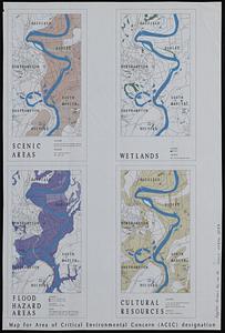
Map for area of critical environmental concern (ACEC) designation
2.
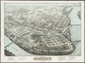
Bird's eye view of Holyoke, Mass : 1877
3.
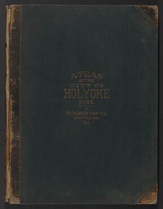
Atlas of Holyoke City, Massachusetts
4.
Combined map of Holyoke and Chicopee
5.
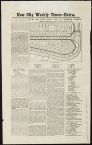
Plan of the new city at Hadley Falls
6.
The Price & Lee Co's new map of the city of Holyoke and part of the city of Chicopee, Mass
7.
Richards standard atlas of the city of Holyoke, Massachusetts : containing ten double page maps in colors, covering the entire...
8.
19th annual convention of the National Association of Real Estate Boards : at Tulsa, June 7 to June 11 in 1926
9.
Acapulco, México
10.
Being a cartograph of Ohio : the oldest state west of the thirteen original colonies; now the fourth state in the Union in...
11.
Boston kids count
12.
The Commonwealth of Connecticut
13.
Denmark
14.
A descriptive map of the region within one hundred miles of the capital of the United States : portraying the principal events...
15.
England
16.
France
17.
Germany
18.
Historical map of Watertown, 1630-1930
19.
Holland and Belgium
20.
The hymenial expositor, or, matrimonial chart
‹ Prev
Next ›
1
2
3
4
5
…
432
433