Search Constraints
Search Results


![Bloomingville, [Ohio]](https://bpldcassets.blob.core.windows.net/derivatives/images/commonwealth:1v53jx86m/image_thumbnail_300.jpg)
1046. Bloomingville, [Ohio]

1047. Bloys
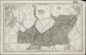
1048. Blue Hills Reservation
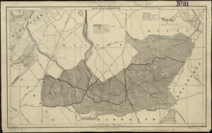
1049. Blue Hills Reservation


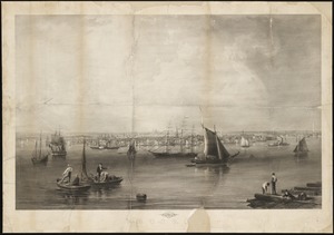
1055. Boston

1056. Boston

1057. Boston

1058. Boston
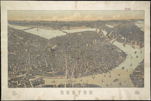
1059. Boston : 1899