Toggle navigation
LMEC Home
Exhibitions
Georeferencing
Tools for Teachers
Collections
My Favorites
Sign Up / Log In
Search
Search the map portal
Map Collection
Map Collection
Map Sets
Search
Search
Search for
Search In
All Fields
Creator
Title
Subject
Place
Search All Digital Collections
Advanced Search
8685 Results
My Search
Start Over
More Like
commonwealth:cj82m423t
Remove constraint More Like: commonwealth:cj82m423t
Filter your Search
Place
North and Central America
5,924
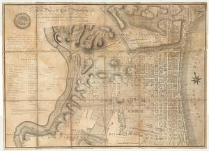
United States
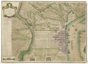
4,834
Massachusetts
2,068
Europe
1,392
Suffolk (county)
1,041
Boston
1,014
Canada
449
Asia
437
more
Place
»
Topic
Boston (Mass.)--Maps
582
United States--Maps
279
Real property--Massachusetts--Boston--Maps
175
Massachusetts--Maps
161
Landowners--Massachusetts--Boston--Maps
133
North America--Maps--Early works to 1800
103
New England--Maps
101
Europe--Maps
79
more
Topic
»
Date
Date range begin
–
Date range end
Current results range from
1482
to
2023
View distribution
Creator
United States. Hydrographic Office
595
O.H. Bailey & Co
148
Des Barres, Joseph F. W. (Joseph Frederick Wallet), 1722-1824
123
United States. Post Office Dept
120
Ptolemy, 2nd cent
100
Walling, Henry Francis, 1825-1888
94
Geological Survey (U.S.)
86
Jefferys, Thomas, -1771
86
more
Creator
»
Format
Maps/Atlases
8,625
Manuscripts
221
Prints
56
Books
36
Objects/Artifacts
10
Drawings/Illustrations
8
Posters
5
Georeferenced
Yes
869
No
7,816
Collection
Norman B. Leventhal Map & Education Center Collection
8,646
Boston and New England Maps
2,221
Urban Maps
1,993
Maritime Charts and Atlases
1,083
American Revolutionary War-Era Maps
654
Boston Redevelopment Authority Collection
87
MacLean Collection Map Library
15
New York Public Library Collection
9
more
Collection
»
Available to use
No known restrictions
8,504
Creative Commons license
70
Search Constraints
Sort by relevance
relevance
title
date (asc)
date (desc)
Number of results to display per page
20 per page
10
per page
20
per page
50
per page
100
per page
View results as:
grid view
map view
Search Results
21.
A map of Philadelphia and parts adjacent
22.
A map of Philadelphia and parts adjacent
23.
Philadelphia and neighborhood
24.
Philadelphia and vicinity. Military
25.
Philadelphie, par Easburn, arpenteur general de Pensilvanie
26.
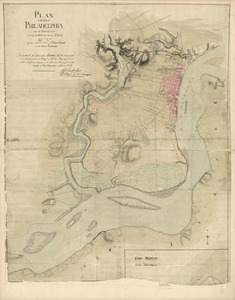
A plan of the city and environs of Philadelphia
27.
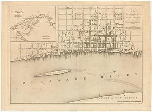
Plan of the city of Philadelphia
28.
A plan of the city of Philadelphia
29.
Plan of the city of Philadelphia and its environs shewing its defences during the years 1777 & 1778 : together with the siege...
30.
A plan of the city of Philadelphia, the capital of Pennsylvania, from an actual survey
31.
A plan of the city of Philadelphia, the capital of Pennsylvania, from an actual survey
32.
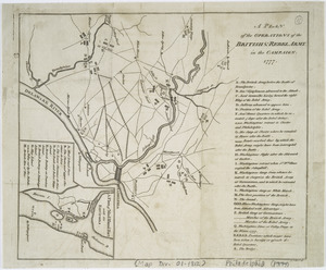
A plan of the operations of the British & Rebel army in the Campaign, 1777
33.
Theatre des operations des armees Americaine et Britanique en 1776 et 1777, depuis la Riviere de Rariton, dans le Jersey de...
34.
This plan of the city of Philadelphia and its environs, (shewing the improved parts,) is dedicated to the mayor, aldermen and...
35.
To the citizens of Philadelphia this plan of the city and its environs : is respectfully dedicated by the editors
36.
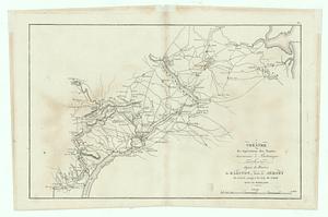
[A map of part of Pennsylvania & Maryland intended to shew, at one view, the several places proposed for opening a...
37.
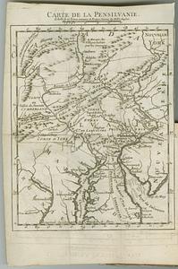
Carte de la Pensilvanie
38.
Carte des environs du Fort Pitt et de la nouvelle province Indiana : dediée a M. Franklin
39.
An exact map of New Jersey, Pensylvania [sic], New York, Maryland & Virginia, from the latest surveys
40.
A map exhibiting a general view of the roads and inland navigation of Pennsylvania, and part of the adjacent states :...
‹ Prev
Next ›
1
2
3
4
5
6
…
434
435


![[A map of part of Pennsylvania & Maryland intended to shew, at one view, the several places proposed for opening a communication between the waters of the Delaware & Chesopeak Bays]](https://bpldcassets.blob.core.windows.net/derivatives/images/commonwealth:z603vt12v/image_thumbnail_300.jpg)

![An exact map of New Jersey, Pensylvania [sic], New York, Maryland & Virginia, from the latest surveys](https://bpldcassets.blob.core.windows.net/derivatives/images/commonwealth:z603vp67m/image_thumbnail_300.jpg)