Toggle navigation
LMEC Home
Exhibitions
Georeferencing
Tools for Teachers
Collections
My Favorites
Sign Up / Log In
Search
Search the map portal
Map Collection
Map Collection
Map Sets
Search
Search
Search for
Search In
All Fields
Creator
Title
Subject
Place
Search All Digital Collections
Advanced Search
8862 Results
My Search
Start Over
More Like
commonwealth:cj82m214f
Remove constraint More Like: commonwealth:cj82m214f
Filter your Search
Place
North and Central America
6,093
United States
5,009
Massachusetts
2,128
Europe
1,396
Suffolk (county)
1,208
Boston
1,181
Canada
449
Asia
438
more
Place
»
Topic
Boston (Mass.)--Maps
752
United States--Maps
282
Real property--Massachusetts--Boston--Maps
195
Massachusetts--Maps
166
City planning--Massachusetts--Boston--Maps
158
Landowners--Massachusetts--Boston--Maps
142
New England--Maps
104
North America--Maps--Early works to 1800
103
more
Topic
»
Date
Date range begin
–
Date range end
Current results range from
1482
to
2023
View distribution
Creator
United States. Hydrographic Office
595
Boston Redevelopment Authority
162
O.H. Bailey & Co
148
Des Barres, Joseph F. W. (Joseph Frederick Wallet), 1722-1824
124
United States. Post Office Dept
120
Ptolemy, 2nd cent
100
Walling, Henry Francis, 1825-1888
94
Geological Survey (U.S.)
87
more
Creator
»
Format
Maps/Atlases
8,802
Manuscripts
215
Prints
56
Books
36
Objects/Artifacts
10
Drawings/Illustrations
8
Posters
5
Georeferenced
Yes
885
No
7,977
Collection
Norman B. Leventhal Map & Education Center Collection
8,723
Boston and New England Maps
2,359
Urban Maps
2,143
Maritime Charts and Atlases
1,083
American Revolutionary War-Era Maps
638
Boston Redevelopment Authority Collection
192
Mapping Boston Collection
20
Massachusetts Real Estate Atlases
12
more
Collection
»
Available to use
No known restrictions
8,665
Creative Commons license
70
Search Constraints
Sort by relevance
relevance
title
date (asc)
date (desc)
Number of results to display per page
20 per page
10
per page
20
per page
50
per page
100
per page
View results as:
grid view
map view
Search Results
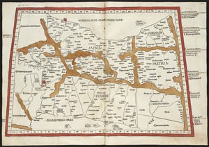
7181.
Quinta Asie tabula continet Assyriam, Susianam, Medos, Persidem, Hyrcaniam, Parthiam & Carmania desertam
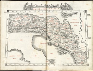
7182.
Quinta Europae tabula
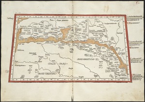
7183.
Quinta Europe tabula continet Rhetia
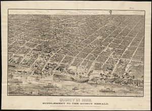
7184.
Qunicy in 1888 : supplement to the Quincy Herald
7185.
The races of Europe
7186.
Racine & Kenosha Counties, Wis.
7187.
Racing routes of the Yankee clippers
7188.
Radio map of the United States
7189.
Radio reference map of the United States
7190.
Radiotelegraph and radiotelephone communication systems of France : radiotelegraph communication system of the French Ministry...
7191.
Rahway, N.J : 1874
7192.
Rail road map of New England & eastern New York
7193.
Rail road map of New England & eastern New York
7194.
Rail road map of Pennsylvania
7195.
Rail road map of Pennsylvania
7196.
Rail road map of the southern states shewing the southern & southwestern railway connections with Philadelphia
7197.
Railroad and county map of Mississippi
7198.
Railroad Commissioners' map of the State of Vermont
7199.
Railroad distance map of the United States, Mexico & Canada
7200.
Railroad map of Illinois
‹ Prev
Next ›
1
2
…
356
357
358
359
360
361
362
363
364
…
443
444