Toggle navigation
LMEC Home
Exhibitions
Georeferencing
Tools for Teachers
Collections
My Favorites
Sign Up / Log In
Search
Search the map portal
Map Collection
Map Collection
Map Sets
Search
Search
Search for
Search In
All Fields
Creator
Title
Subject
Place
Search All Digital Collections
Advanced Search
8863 Results
My Search
Start Over
More Like
commonwealth:cj82m212w
Remove constraint More Like: commonwealth:cj82m212w
Filter your Search
Place
North and Central America
6,094
United States
5,010
Massachusetts
2,134
Europe
1,396
Suffolk (county)
1,209
Boston
1,182
Canada
449
Asia
438
more
Place
»
Topic
Boston (Mass.)--Maps
752
United States--Maps
282
Real property--Massachusetts--Boston--Maps
195
Massachusetts--Maps
166
City planning--Massachusetts--Boston--Maps
159
Landowners--Massachusetts--Boston--Maps
142
New England--Maps
104
North America--Maps--Early works to 1800
103
more
Topic
»
Date
Date range begin
–
Date range end
Current results range from
1482
to
2023
View distribution
Creator
United States. Hydrographic Office
595
Boston Redevelopment Authority
164
O.H. Bailey & Co
148
Des Barres, Joseph F. W. (Joseph Frederick Wallet), 1722-1824
124
United States. Post Office Dept
120
Ptolemy, 2nd cent
100
Walling, Henry Francis, 1825-1888
94
Geological Survey (U.S.)
87
more
Creator
»
Format
Maps/Atlases
8,803
Manuscripts
215
Prints
56
Books
36
Objects/Artifacts
10
Drawings/Illustrations
8
Posters
5
Georeferenced
Yes
884
No
7,979
Collection
Norman B. Leventhal Map & Education Center Collection
8,723
Boston and New England Maps
2,359
Urban Maps
2,143
Maritime Charts and Atlases
1,083
American Revolutionary War-Era Maps
638
Boston Redevelopment Authority Collection
193
Mapping Boston Collection
20
Massachusetts Real Estate Atlases
12
more
Collection
»
Available to use
No known restrictions
8,666
Creative Commons license
70
Search Constraints
Sort by relevance
relevance
title
date (asc)
date (desc)
Number of results to display per page
20 per page
10
per page
20
per page
50
per page
100
per page
View results as:
grid view
map view
Search Results
6501.
Plan of land in Roxbury belonging to the heirs of Alfred Evans
6502.
Plan of land in Sharon belonging to the Massapoag Lake Company
6503.
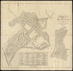
Plan of land of Onset and Point Independence
6504.
Plan of land on West Chester Park and Huntington Ave. belonging to the Boston Water Power Co
6505.
Plan of land owned by the Aspinwall Land Company on Aspinwall Hill in Brookline, Mass
6506.
Plan of land owned by the heirs of Frederick Clapp
6507.
Plan of lands belonging to the Boston Water Power Company and the Commonwealth, on the Back Bay, showing part of the city...
6508.
Plan of lands in West-Roxbury, belonging to the estate of Chas. M. Taft : to be sold by public auction on Wednesday June 9th...
6509.
Plan of lands in West-Roxbury, belonging to the estate of Chas. M. Taft : to be sold by public auction in Wednesday June 9th at...
6510.
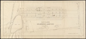
Plan of lands of Holbrook Land Co. at Holbrook 1872
6511.
Plan of lands of Wollaston Land Associates at Wollaston Heights, Quincy
6512.
Plan of lands on the Back Bay, belonging to the Boston Water Power Co., the Commonwealth, and other parties, showing the system...
6513.
A plan of lands on Wilcocks, Shaws or Baxters Hill in Quincy owned by John M. Forbes 1846
6514.
Plan of lands owned by The Aspinwall Land Company in Brookline : July 1886
6515.
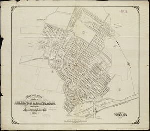
Plan of lands situated at Arlington Heights, Mass : owned by the Arlington Land Co
6516.
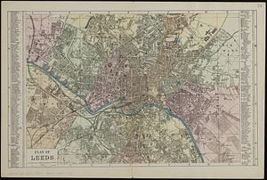
Plan of Leeds : divided into 1/4 mile squares & circles
6517.
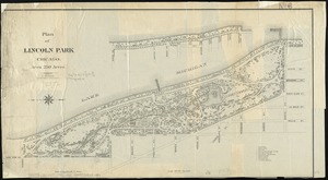
Plan of Lincoln Park, Chicago : area 250 acres
6518.
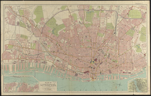
Plan of Liverpool
6519.
Plan of location of projected ship canal from Taunton River to Boston Harbor, through Weymouth Fore River ... Frank W. Hodgdon,...
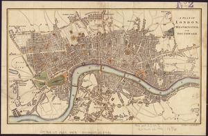
6520.
A plan of London, Westminster, and Southwark
‹ Prev
Next ›
1
2
…
322
323
324
325
326
327
328
329
330
…
443
444