Toggle navigation
LMEC Home
Exhibitions
Georeferencing
Tools for Teachers
Collections
My Favorites
Sign Up / Log In
Search
Search the map portal
Map Collection
Map Collection
Map Sets
Search
Search
Search for
Search In
All Fields
Creator
Title
Subject
Place
Search All Digital Collections
Advanced Search
8695 Results
My Search
Start Over
More Like
commonwealth:cj82ks89p
Remove constraint More Like: commonwealth:cj82ks89p
Filter your Search
Place
North and Central America
5,927
United States
4,845
Massachusetts
2,079
Europe
1,395
Suffolk (county)
1,046
Boston
1,019
Canada
449
Asia
438
more
Place
»
Topic
Boston (Mass.)--Maps
586
United States--Maps
282
Real property--Massachusetts--Boston--Maps
175
Massachusetts--Maps
162
Landowners--Massachusetts--Boston--Maps
133
North America--Maps--Early works to 1800
103
New England--Maps
102
Europe--Maps
79
more
Topic
»
Date
Date range begin
–
Date range end
Current results range from
1482
to
2023
View distribution
Creator
United States. Hydrographic Office
595
O.H. Bailey & Co
148
Des Barres, Joseph F. W. (Joseph Frederick Wallet), 1722-1824
123
United States. Post Office Dept
120
Ptolemy, 2nd cent
100
Walling, Henry Francis, 1825-1888
94
Geological Survey (U.S.)
86
Jefferys, Thomas, -1771
85
more
Creator
»
Format
Maps/Atlases
8,635
Manuscripts
215
Prints
56
Books
36
Objects/Artifacts
10
Drawings/Illustrations
8
Posters
5
Georeferenced
Yes
869
No
7,826
Collection
Norman B. Leventhal Map & Education Center Collection
8,694
Boston and New England Maps
2,233
Urban Maps
2,023
Maritime Charts and Atlases
1,083
American Revolutionary War-Era Maps
617
Boston Redevelopment Authority Collection
87
MacLean Collection Map Library
1
Available to use
No known restrictions
8,552
Creative Commons license
47
Search Constraints
Sort by relevance
relevance
title
date (asc)
date (desc)
Number of results to display per page
20 per page
10
per page
20
per page
50
per page
100
per page
View results as:
grid view
map view
Search Results
1.
To his excellency the Count of Czernichew, Commander in Chief of her Majesty the Empress, of all the Russia's fleet and...
2.
Ponti Euxini cum regionibus versus septentrionem et orientem adjacentibus nova tabula ano: 1672
3.
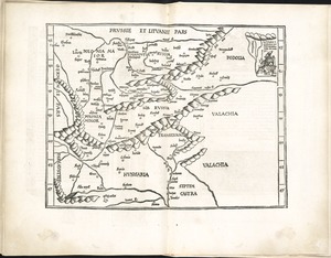
Nona Europa tabula continet Iaziges Metanastas
4.
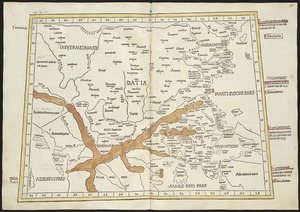
Octava Europae tabula
5.
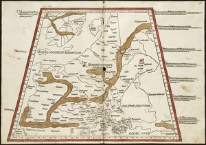
Octava Europe tabula continet Sarmatiam
6.
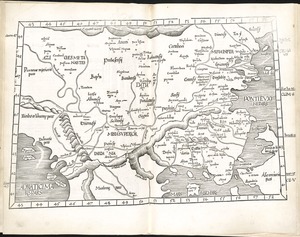
Tabula IX Europae
7.
Tabula VIII Europae
8.
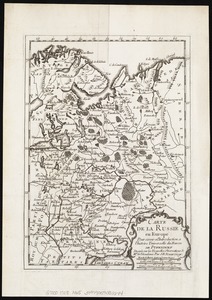
Carte de la Russie en Europe : pour servir al'Introduction a l'histoire universelle du Baron de Pufendorf
9.
A map of the discoveries made by the Russians on the North West coast of America
10.
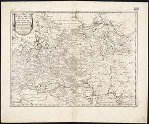
A new map of Russia or Moscovie divided into its Kingdoms, Dukedoms, Principalities, Provinces, &c
11.
Regni Sueciae tabula generalis, divisa in Sueciae, Gotiaeq[ue] regna Finniae ducatum Lapponiam, Livoniam Ingrianq[ue] et in...
12.
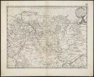
To the Great Czar of Moscovie this Map of Tartary &c. is humbly dedicated
13.
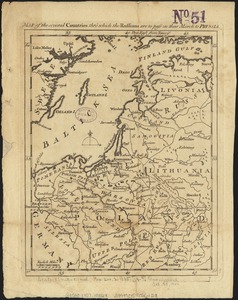
Map of the several countries thro' which the Russians are to pass in their march to Prussia
14.
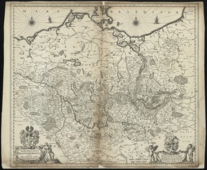
Marchionatus Brandenburgicus
15.
A new map of the Baltick &c : shewing all the dominions about it with ye great or post roads and principal cross-roads
16.
Quarta Europe tabula continet Germaniam
17.
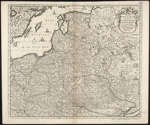
Regni Poloniae et Ducatus Lithuaniae, Voliniae, Podoliae, Ucraniae, Prussiae, Livoniae et Curlandiae descriptio
18.
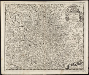
Regnum Bohemia, eique annexae provinciae, ut Ducatus Silesia, marchionatus Moravia, et Lusatia : quae sunt terrae Haereditariae...
19.
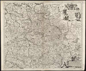
Regnum Bohemia, eique annexae provinciae ut Ducatus Silesia marchionatus Moravia, et Lusatia quae sunt terrae haereditariae...
20.
Tabu. moderna Hungariae, Poloniae, Russiae, Prussiae et Valachiae
‹ Prev
Next ›
1
2
3
4
5
…
434
435


![Regni Sueciae tabula generalis, divisa in Sueciae, Gotiaeq[ue] regna Finniae ducatum Lapponiam, Livoniam Ingrianq[ue] et in omnes subiacentes provincias](https://bpldcassets.blob.core.windows.net/derivatives/images/commonwealth:cj82kt14t/image_thumbnail_300.jpg)