Toggle navigation
LMEC Home
Exhibitions
Georeferencing
Tools for Teachers
Collections
My Favorites
Sign Up / Log In
Search
Search the map portal
Map Collection
Map Collection
Map Sets
Search
Search
Search for
Search In
All Fields
Creator
Title
Subject
Place
Search All Digital Collections
Advanced Search
8729 Results
My Search
Start Over
More Like
commonwealth:cj82kn950
Remove constraint More Like: commonwealth:cj82kn950
Filter your Search
Place
North and Central America
5,960
United States
4,878
Massachusetts
2,083
Europe
1,396
Suffolk (county)
1,048
Boston
1,021
Canada
456
Asia
438
more
Place
»
Topic
Boston (Mass.)--Maps
588
United States--Maps
282
Real property--Massachusetts--Boston--Maps
175
Massachusetts--Maps
164
Landowners--Massachusetts--Boston--Maps
133
New England--Maps
127
North America--Maps--Early works to 1800
103
Europe--Maps
79
more
Topic
»
Date
Date range begin
–
Date range end
Current results range from
1482
to
2023
View distribution
Creator
United States. Hydrographic Office
595
O.H. Bailey & Co
148
Des Barres, Joseph F. W. (Joseph Frederick Wallet), 1722-1824
123
United States. Post Office Dept
120
Ptolemy, 2nd cent
100
Walling, Henry Francis, 1825-1888
94
Jefferys, Thomas, -1771
87
Geological Survey (U.S.)
86
more
Creator
»
Format
Maps/Atlases
8,669
Manuscripts
215
Prints
56
Books
36
Objects/Artifacts
10
Drawings/Illustrations
8
Posters
5
Georeferenced
Yes
871
No
7,858
Collection
Norman B. Leventhal Map & Education Center Collection
8,698
Boston and New England Maps
2,239
Urban Maps
2,023
Maritime Charts and Atlases
1,083
American Revolutionary War-Era Maps
642
Boston Redevelopment Authority Collection
87
MacLean Collection Map Library
9
Maps from AAS
9
more
Collection
»
Available to use
No known restrictions
8,556
Creative Commons license
50
Search Constraints
Sort by relevance
relevance
title
date (asc)
date (desc)
Number of results to display per page
20 per page
10
per page
20
per page
50
per page
100
per page
View results as:
grid view
map view
Search Results
61.
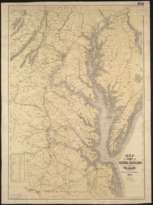
Map of part of Virginia, Maryland and Delaware from the best authorities
62.
Map of the country embracing the several routes examined with a view to a national road from Washington to Lake Ontario
63.
Map of the State of New York with part of the states of Pennsylvania, New Jersey &c
64.
Map of Virginia and West Va., North and part of South Carolina, Maryland and Delaware, showing the situation in these states of...
65.
The new war map of Virginia, Maryland & Pennsylvania
66.
A survey of the empire group : with a complete distance table, a compendious index of cities and post offices, with populations...
67.
A survey of the empire group : with a complete distance table, a compendious index of cities and post offices, with populations...
68.
Diagram of rail roads diverging from Boston : showing the depots and distances
69.
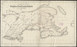
Map of the European & North American Railway and its connections
70.
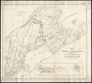
Map of the European and North American Railway, showing its connection with the railways of the United States & Canada; made by...
71.
Map of the Hudson River & Berkshire R. R. and its connections
72.
Map showing the relative distances of Porsmouth [i.e. Portsmouth] and Boston from Concord & Manchester, N.H
73.
Travel-map of New England
74.
Automobile map of New England showing the ideal tour
75.
The Boston Globe ski map of northern New England and Canada
76.
A canoeist's guide to New England's rivers
77.
C.H. Guild & Co.'s newspaper map of New England
78.
The city of New York as laid out by the Commissioners with the surrounding country
79.
Commercial map of New England
80.
Fishing grounds out of Boston : NLSECO marine diesel oil engines ; built by New London Ship & Engine Co., Groton, Conn
‹ Prev
Next ›
1
2
3
4
5
6
7
8
…
436
437


![Map showing the relative distances of Porsmouth [i.e. Portsmouth] and Boston from Concord & Manchester, N.H](https://bpldcassets.blob.core.windows.net/derivatives/images/commonwealth:7h14b104z/image_thumbnail_300.jpg)


