Toggle navigation
LMEC Home
Exhibitions
Georeferencing
Tools for Teachers
Collections
My Favorites
Sign Up / Log In
Search
Search the map portal
Map Collection
Map Collection
Map Sets
Search
Search
Search for
Search In
All Fields
Creator
Title
Subject
Place
Search All Digital Collections
Advanced Search
8568 Results
My Search
Start Over
More Like
commonwealth:cj82kn615
Remove constraint More Like: commonwealth:cj82kn615
Filter your Search
Place
North and Central America
5,862
United States
4,786
Massachusetts
2,056
Europe
1,359
Suffolk (county)
1,038
Boston
1,011
Canada
448
Asia
422
more
Place
»
Topic
Boston (Mass.)--Maps
580
United States--Maps
278
Real property--Massachusetts--Boston--Maps
175
Massachusetts--Maps
160
Landowners--Massachusetts--Boston--Maps
133
North America--Maps--Early works to 1800
103
New England--Maps
101
Europe--Maps
78
more
Topic
»
Date
Date range begin
–
Date range end
Current results range from
1482
to
2023
View distribution
Creator
United States. Hydrographic Office
594
O.H. Bailey & Co
148
Des Barres, Joseph F. W. (Joseph Frederick Wallet), 1722-1824
123
United States. Post Office Dept
120
Ptolemy, 2nd cent
100
Walling, Henry Francis, 1825-1888
94
Geological Survey (U.S.)
86
Jefferys, Thomas, -1771
85
more
Creator
»
Format
Maps/Atlases
8,509
Manuscripts
215
Prints
56
Books
36
Objects/Artifacts
10
Drawings/Illustrations
8
Posters
4
Georeferenced
Yes
869
No
7,699
Collection
Norman B. Leventhal Map & Education Center Collection
8,565
Boston and New England Maps
2,210
Urban Maps
1,940
Maritime Charts and Atlases
1,081
American Revolutionary War-Era Maps
619
Boston Redevelopment Authority Collection
87
William L. Clements Library Collection
2
New York Public Library Collection
1
Available to use
No known restrictions
8,424
Creative Commons license
47
Search Constraints
Sort by relevance
relevance
title
date (asc)
date (desc)
Number of results to display per page
20 per page
10
per page
20
per page
50
per page
100
per page
View results as:
grid view
map view
Search Results
3181.
La Louisiana, parte settentrionalle, scoperta sotto la protettione di Luigi XIV, Ré di Francia, etc
3182.
Lovell's map of the city of Montreal : including Westmount, Outremount, Verdun, Montreal West and St. Laurent
3183.
Low Archipelago or Paumotu Group
3184.
Ludlow, Vt
3185.
Lugdunensis Prima, cujus metropolis Lugdunum Segusianorum : Province de Lyon ou sont les dioeceses de l'Archevesche de Lyon, et...
3186.
Lumberman's map of northern Maine
3187.
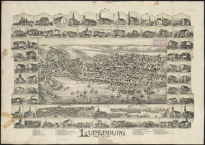
Lunenburg, Nova Scotia
3188.
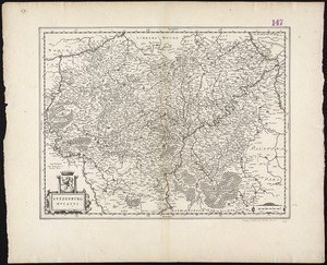
Lutzenburg Ducatus
3189.
Lyndonville, Caledonia County, Vermont : 1884
3190.
Lynn, Mass [art original] : west view from near High Rock
3191.
Lynn Woods : handy guide for trampers
3192.
Lynn Woods : Lynn, Massachusetts
3193.
Macedonia Alexandri M. Patria Illustris
3194.
Macedonia, Epirus et Achaia
3195.
Madagascar--n.w. coast, Bavatoubé Bay (Dalrymple Bay)
3196.
Madeira, Porto Santo and Dezertas : from British surveys in 1843, corrected to 1871
3197.
Madison County
3198.
Madrid, ville considérable de la nouvelle Castille, séjour ordinaire des Roys d'Espagne
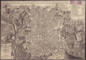
3199.
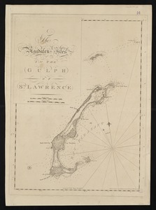
The Magdalen Isles in the Gulph of St. Lawrence
3200.
Magnae Britanniae et Hiberniae Tabula
‹ Prev
Next ›
1
2
…
156
157
158
159
160
161
162
163
164
…
428
429


![Lynn, Mass [art original]](https://bpldcassets.blob.core.windows.net/derivatives/images/commonwealth:9s161g34q/image_thumbnail_300.jpg)