Toggle navigation
LMEC Home
Exhibitions
Georeferencing
Tools for Teachers
Collections
My Favorites
Sign Up / Log In
Search
Search the map portal
Map Collection
Map Collection
Map Sets
Search
Search
Search for
Search In
All Fields
Creator
Title
Subject
Place
Search All Digital Collections
Advanced Search
8717 Results
My Search
Start Over
More Like
commonwealth:cj82kn01q
Remove constraint More Like: commonwealth:cj82kn01q
Filter your Search
Place
North and Central America
5,948
United States
4,865
Massachusetts
2,079
Europe
1,396
Suffolk (county)
1,046
Boston
1,019
Canada
450
Asia
438
more
Place
»
Topic
Boston (Mass.)--Maps
586
United States--Maps
282
Real property--Massachusetts--Boston--Maps
175
Massachusetts--Maps
162
Landowners--Massachusetts--Boston--Maps
133
New England--Maps
105
North America--Maps--Early works to 1800
103
Europe--Maps
79
more
Topic
»
Date
Date range begin
–
Date range end
Current results range from
1482
to
2023
View distribution
Creator
United States. Hydrographic Office
595
O.H. Bailey & Co
148
Des Barres, Joseph F. W. (Joseph Frederick Wallet), 1722-1824
123
United States. Post Office Dept
119
Ptolemy, 2nd cent
100
Walling, Henry Francis, 1825-1888
94
Geological Survey (U.S.)
86
Jefferys, Thomas, -1771
85
more
Creator
»
Format
Maps/Atlases
8,657
Manuscripts
217
Prints
56
Books
36
Objects/Artifacts
10
Drawings/Illustrations
8
Posters
5
Georeferenced
Yes
869
No
7,848
Collection
Norman B. Leventhal Map & Education Center Collection
8,695
Boston and New England Maps
2,233
Urban Maps
2,023
Maritime Charts and Atlases
1,083
American Revolutionary War-Era Maps
639
Boston Redevelopment Authority Collection
87
William L. Clements Library Collection
14
Maps from AAS
4
more
Collection
»
Available to use
No known restrictions
8,553
Creative Commons license
48
Search Constraints
Sort by relevance
relevance
title
date (asc)
date (desc)
Number of results to display per page
20 per page
10
per page
20
per page
50
per page
100
per page
View results as:
grid view
map view
Search Results
5661.
Ohio boundary no. 1 South Bend of Lake Michigan : map, exhibiting the position occupied in the determination of the latitude of...
5662.
Ohio boundary no. 2 : map exhibiting the positions occupied on the Maumee Bay and river: viz: Turtle Island, the North Cape,...
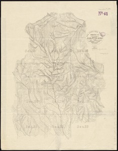
5663.
Oil and gas fields of Pennsylvania
5664.
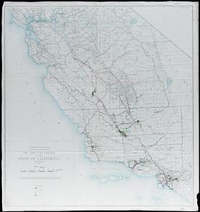
Oil and gas fields of the state of California
5665.
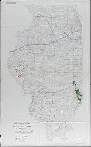
Oil and gas fields of the state of Illinois
5666.
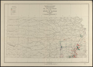
Oil and gas fields of the state of Kansas
5667.
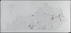
Oil and gas fields of the state of Kentucky
5668.
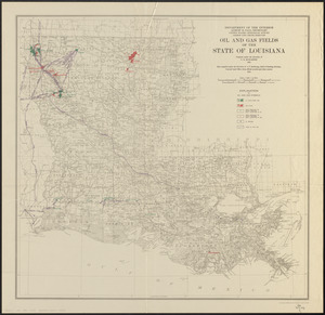
Oil and gas fields of the state of Louisiana
5669.
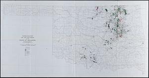
Oil and gas fields of the state of Oklahoma
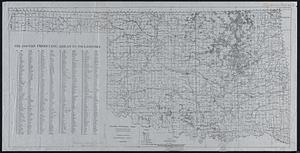
5670.
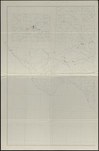
Oil and gas fields of the state of Texas
5671.
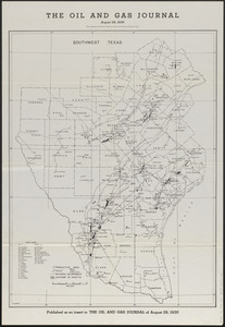
The oil and gas journal, August 29, 1935
5672.
Oil and gas producing areas in Oklahoma
5673.
Oil City oil field, Fresno Co., California
5674.
Oil in America : a pictorial story of the petroleum industry in the United States
5675.
Old Boston, compiled from the Book of possessions
5676.
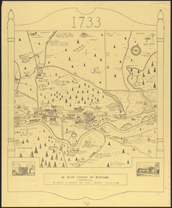
Ye olde towne of Rumford : (Concord, N.H.)
5677.
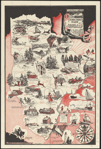
Olde York County Maine : published in commemoration of the 300th anniversary
5678.
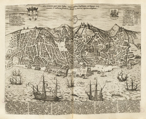
Olissippo quae nunc Lisboa ciuitas amplissima Lusi taniae, ad Tagum, toti Orientis, et multarum insularum Aphricaeque et...
5679.
Olmsted Park master plan
5680.
One way streets, metered block faces, parking restriction areas and signal locations within the Boston regional core
‹ Prev
Next ›
1
2
…
280
281
282
283
284
285
286
287
288
…
435
436