Toggle navigation
LMEC Home
Exhibitions
Georeferencing
Tools for Teachers
Collections
My Favorites
Sign Up / Log In
Search
Search the map portal
Map Collection
Map Collection
Map Sets
Search
Search
Search for
Search In
All Fields
Creator
Title
Subject
Place
Search All Digital Collections
Advanced Search
8733 Results
My Search
Start Over
More Like
commonwealth:cj82kk575
Remove constraint More Like: commonwealth:cj82kk575
Filter your Search
Place
North and Central America
5,964
United States
4,881
Massachusetts
2,081
Europe
1,396
Suffolk (county)
1,046
Boston
1,019
Canada
455
Asia
438
more
Place
»
Topic
Boston (Mass.)--Maps
586
United States--Maps
282
Real property--Massachusetts--Boston--Maps
175
Massachusetts--Maps
164
Landowners--Massachusetts--Boston--Maps
133
New England--Maps
109
North America--Maps--Early works to 1800
103
New York (State)--Maps
85
more
Topic
»
Date
Date range begin
–
Date range end
Current results range from
1482
to
2023
View distribution
Creator
United States. Hydrographic Office
595
O.H. Bailey & Co
148
Des Barres, Joseph F. W. (Joseph Frederick Wallet), 1722-1824
123
United States. Post Office Dept
119
Ptolemy, 2nd cent
100
Walling, Henry Francis, 1825-1888
94
Geological Survey (U.S.)
86
Jefferys, Thomas, -1771
85
more
Creator
»
Format
Maps/Atlases
8,673
Manuscripts
217
Prints
56
Books
36
Objects/Artifacts
10
Drawings/Illustrations
8
Posters
5
Georeferenced
Yes
870
No
7,863
Collection
Norman B. Leventhal Map & Education Center Collection
8,694
Boston and New England Maps
2,233
Urban Maps
2,023
Maritime Charts and Atlases
1,083
American Revolutionary War-Era Maps
655
Boston Redevelopment Authority Collection
87
William L. Clements Library Collection
24
Maps from AAS
9
more
Collection
»
Available to use
No known restrictions
8,553
Creative Commons license
48
Search Constraints
Sort by relevance
relevance
title
date (asc)
date (desc)
Number of results to display per page
20 per page
10
per page
20
per page
50
per page
100
per page
View results as:
grid view
map view
Search Results
2281.
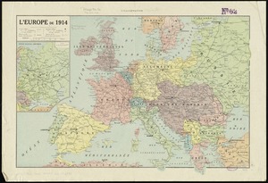
L'Europe de 1914
2282.
Europe in search of new routes to India and China, 1486-1616 A.D.
2283.
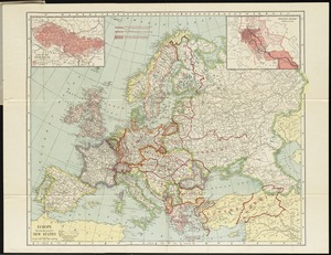
Europe showing the proposed new states
2284.
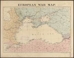
European war map
2285.
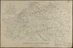
European war zone map
2286.
Evêché de Dijon
2287.
The Evening Post map of the West Indies
2288.
L'Evesche d'Aire
2289.
L'Evesché de Blois, dìvìsé en archìdìaconéz et doyennéz
2290.
L'Evesché de Blois, divisé en Archidiaconéz et Doyennéz
2291.
L'Evesché de Chartres dìvìsee en archìdìaconéz et doyennéz
2292.
Evesché de La Rochelle
2293.
Evesché de Laon, ou sont les Duché, et Pairrie de Laon, Balliages de Laon, et Ribemont, Eslections de Laon, et de Guise etc
2294.
Evesché de Luçon : dedié a Monseigneur ... Henry de Barrillon Evesque et Baron de Luçon etc
2295.
Evesché du Puy Le Velay l'un des vingt deux dioceses du Languedoc
2296.
Evropa
2297.
An exact chart of the river St. Laurence, from Fort Frontenac to the island of Anticosti shewing the soundings, rocks, shoals...
2298.
An exact chart of the river St. Laurence, from Fort Frontenac to the island of Anticosti shewing the soundings, rocks, shoals...
2299.
An exact draught of Bostone harbour with a survey of most of the islands about it
2300.
An exact draught of the gulf of Darien & the coast to Porto Bello with Panama in the south sea & the Scotch settlement in...
‹ Prev
Next ›
1
2
…
111
112
113
114
115
116
117
118
119
…
436
437