Toggle navigation
LMEC Home
Exhibitions
Georeferencing
Tools for Teachers
Collections
My Favorites
Sign Up / Log In
Search
Search the map portal
Map Collection
Map Collection
Map Sets
Search
Search
Search for
Search In
All Fields
Creator
Title
Subject
Place
Search All Digital Collections
Advanced Search
67 Results
My Search
Start Over
More Like
commonwealth:c534g3777
Remove constraint More Like: commonwealth:c534g3777
Filter your Search
Place
North and Central America
67
United States
65
Middlesex (county)
62
Wakefield
49
Reading
9
North Reading
8
Essex (county)
5
Greenwood
3
more
Place
»
Topic
Zoning
10
Railroads
4
Election districts
2
Boston and Maine Railroad
1
Geology
1
Soils
1
Date
Date range begin
–
Date range end
Current results range from
1647
to
2000
View distribution
Creator
Bridge, Edward Melville, 1890-
10
Wakefield Item Company
10
Comey, Arthur C. (Arthur Coleman), 1886-1954
9
Bancroft, Clinton L.
2
Needham, Daniel
2
Nott, Samuel
2
Parrott, George B.
2
Senefelder Lith. Co.
2
more
Creator
»
Format
Maps/Atlases
67
Georeferenced
Yes
4
No
63
Collection
Lucius Beebe Memorial Library Historic Maps
67
Available to use
No known restrictions
67
Search Constraints
Sort by relevance
relevance
title
date (asc)
date (desc)
Number of results to display per page
20 per page
10
per page
20
per page
50
per page
100
per page
View results as:
grid view
map view
Search Results
1.
Amended zoning map for town of Wakefield Mass.
2.
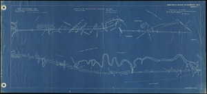
Around Wakefield's lake
3.
Census tract outline maps : Wakefield, MA : (Census 2000)
4.
Facsimile of Col. Nichols' plan of the First Parish of Reading, the present towns of Wakefield and Reading, plotted in 1765
5.
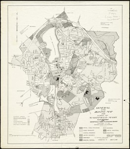
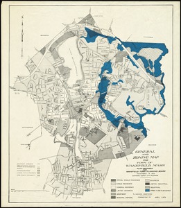
General and zoning map for town of Wakefield Mass.
6.
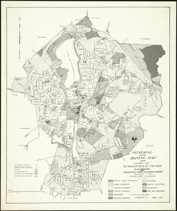
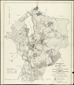
General and zoning map for town of Wakefield Mass.
7.
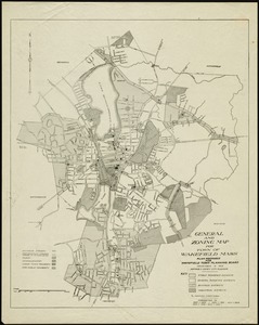
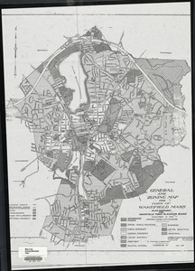
General and zoning map for town of Wakefield, Mass.
8.
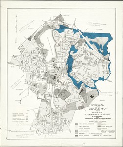
General and zoning map for town of Wakefield Mass.
9.
General and zoning map for town of Wakefield Mass.
10.
General and zoning map for town of Wakefield Mass.
11.
General and zoning map for town of Wakefield Mass.
12.
Greenwood, Town of Wakefield [Massachusetts]
13.
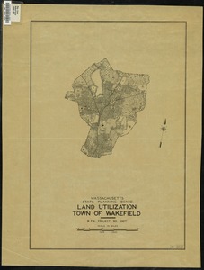
Land Utilization : Town of Wakefield
14.
Location of the Boston & Maine extension rail road : from Boston to Wilmington
15.
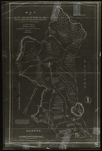
Map of Lynnfield, in Essex County, Massachusetts
16.
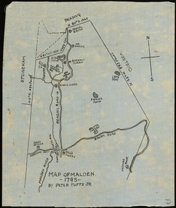
Map of Malden, 1795
17.
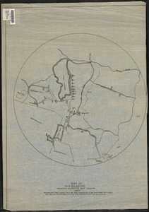
Map of old Reading, Massachusetts Bay Colony, 1647
18.
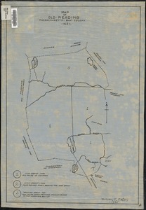
Map of old Reading, Massachusetts Bay Colony, 1651
19.
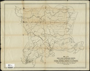
Map of parts of Essex & part of Middlesex counties, showing the rail road routes between Salem, Lowell, Boston & Lawrence
20.
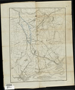
Map of parts of Middlesex & Essex counties showing the rail road routes between Salem, Lowell, Boston & Methuen
‹ Prev
Next ›
1
2
3
4


![Greenwood, Town of Wakefield [Massachusetts]](https://bpldcassets.blob.core.windows.net/derivatives/images/commonwealth:c534g392b/image_thumbnail_300.jpg)