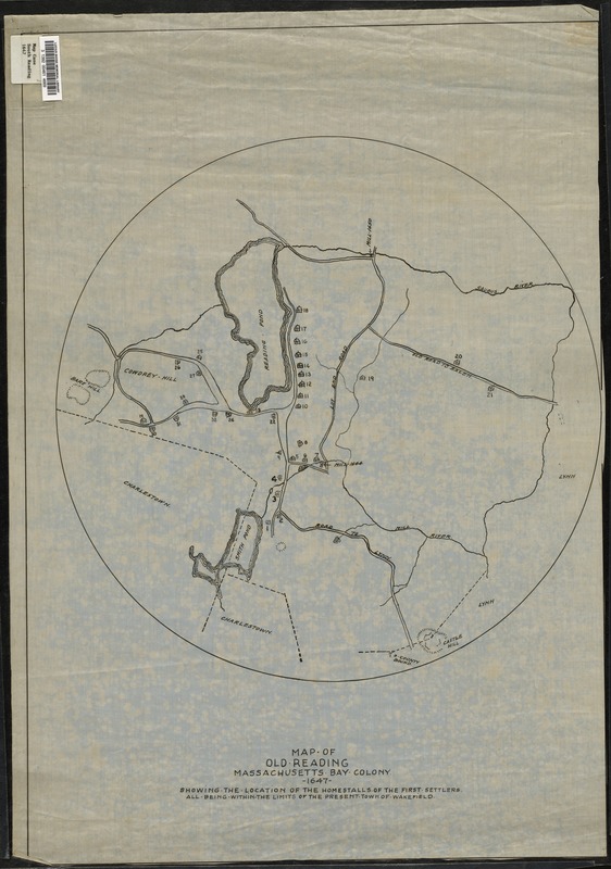
Map of old Reading, Massachusetts Bay Colony, 1647
Item Information
- Title:
- Map of old Reading, Massachusetts Bay Colony, 1647
- Date:
-
[1647]
- Format:
-
Maps/Atlases
- Location:
- Lucius Beebe Memorial Library
- Collection (local):
-
Lucius Beebe Memorial Library Historic Maps
- Places:
-
Middlesex (county)Wakefield
- Extent:
- 1 map : b&w, ink on linen ; 44 cm. in diam.
- Terms of Use:
-
No known copyright restrictions.
No known restrictions on use.
- Publisher:
-
[s.l.] :
[s.n.]
- Scale:
-
Scale [ca. 1:1,400]
- Language:
-
English
- Notes:
-
Map depicts the entire town of South Reading (Wakefield) as it was in 1647, showing streets, bodies of water, hills, and locations of original settlers' homes.
"Showing the location of the homestalls of the first settlers all being within the limits of the present town of Wakefield." -- Text from bottom of map.
- Notes (date):
-
This date is inferred.
- Call #:
-
Local History Map Case South Reading 1647
- Barcode:
-
31392004614669


