Toggle navigation
LMEC Home
Exhibitions
Georeferencing
Tools for Teachers
Collections
My Favorites
Sign Up / Log In
Search
Search the map portal
Map Collection
Map Collection
Map Sets
Search
Search
Search for
Search In
All Fields
Creator
Title
Subject
Place
Search All Digital Collections
Advanced Search
8862 Results
My Search
Start Over
More Like
commonwealth:9s161j35d
Remove constraint More Like: commonwealth:9s161j35d
Filter your Search
Place
North and Central America
6,093
United States
5,009
Massachusetts
2,134
Europe
1,396
Suffolk (county)
1,208
Boston
1,181
Canada
449
Asia
438
more
Place
»
Topic
Boston (Mass.)--Maps
752
United States--Maps
282
Real property--Massachusetts--Boston--Maps
195
Massachusetts--Maps
166
City planning--Massachusetts--Boston--Maps
158
Landowners--Massachusetts--Boston--Maps
142
New England--Maps
104
North America--Maps--Early works to 1800
103
more
Topic
»
Date
Date range begin
–
Date range end
Current results range from
1482
to
2023
View distribution
Creator
United States. Hydrographic Office
595
Boston Redevelopment Authority
163
O.H. Bailey & Co
148
Des Barres, Joseph F. W. (Joseph Frederick Wallet), 1722-1824
124
United States. Post Office Dept
120
Ptolemy, 2nd cent
100
Walling, Henry Francis, 1825-1888
94
Geological Survey (U.S.)
87
more
Creator
»
Format
Maps/Atlases
8,802
Manuscripts
215
Prints
56
Books
36
Objects/Artifacts
10
Drawings/Illustrations
8
Posters
5
Georeferenced
Yes
885
No
7,977
Collection
Norman B. Leventhal Map & Education Center Collection
8,723
Boston and New England Maps
2,358
Urban Maps
2,142
Maritime Charts and Atlases
1,083
American Revolutionary War-Era Maps
638
Boston Redevelopment Authority Collection
192
Mapping Boston Collection
20
Massachusetts Real Estate Atlases
12
more
Collection
»
Available to use
No known restrictions
8,665
Creative Commons license
70
Search Constraints
Sort by relevance
relevance
title
date (asc)
date (desc)
Number of results to display per page
20 per page
10
per page
20
per page
50
per page
100
per page
View results as:
grid view
map view
Search Results
5261.
Die Moldau
5262.
Moncton : New Brunswick
5263.
Moncton, New Brunswick
5264.
Monitor map, showing the whole seacoast from Chesapeake Bay, down to Savannah harbor, and the whole country between Richmond &...
5265.
Monroe County, Wis.
5266.
Monson, Maine
5267.
Monson, Mass : 1879
5268.
Montana Territory
5269.
Montezuma National Forest, Colorado
5270.
Montpelier, county seat of Washington County & capital of Vermont : 1884
5271.
Moosup, Conn., Uniondale and Almyville
5272.
La Morea, la Livadia, e porzione della Tessaglia, e Dell' Epiro con la parte occidentale dell' arcipelago : V. Foglio della...
5273.
Morea olim Peloponnesus
5274.
Morocco, location of mineral resources
5275.
Morrison's North River traveller's companion : containing a map of the Hudson River, with a description of the adjoining...
5276.
Morrisville, Bucks County, Pennsylvania, 1893
5277.
Morrisville, Vt : looking southwest
5278.
Mount Auburn, avenues and paths
5279.
Mount Desert Island and neighboring coast of Maine
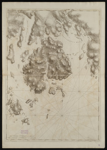
5280.
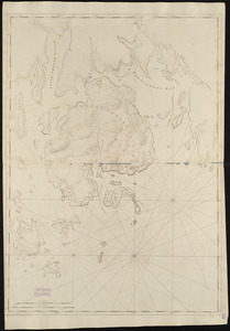
Mount Desert Island and neighboring coast of Maine
‹ Prev
Next ›
1
2
…
260
261
262
263
264
265
266
267
268
…
443
444