Toggle navigation
LMEC Home
Exhibitions
Georeferencing
Tools for Teachers
Collections
My Favorites
Sign Up / Log In
Search
Search the map portal
Map Collection
Map Collection
Map Sets
Search
Search
Search for
Search In
All Fields
Creator
Title
Subject
Place
Search All Digital Collections
Advanced Search
8769 Results
My Search
Start Over
More Like
commonwealth:9s161j298
Remove constraint More Like: commonwealth:9s161j298
Filter your Search
Place
North and Central America
6,000
United States
4,904
Massachusetts
2,152
Europe
1,396
Suffolk (county)
1,047
Boston
1,020
Canada
450
Asia
438
more
Place
»
Topic
Boston (Mass.)--Maps
590
United States--Maps
282
Massachusetts--Maps
235
Real property--Massachusetts--Boston--Maps
175
Landowners--Massachusetts--Boston--Maps
133
New England--Maps
104
North America--Maps--Early works to 1800
103
Europe--Maps
79
more
Topic
»
Date
Date range begin
–
Date range end
Current results range from
1482
to
2023
View distribution
Creator
United States. Hydrographic Office
595
O.H. Bailey & Co
148
Des Barres, Joseph F. W. (Joseph Frederick Wallet), 1722-1824
123
United States. Post Office Dept
120
Ptolemy, 2nd cent
100
Walling, Henry Francis, 1825-1888
95
Geological Survey (U.S.)
92
Jefferys, Thomas, -1771
85
more
Creator
»
Format
Maps/Atlases
8,708
Manuscripts
217
Prints
56
Books
36
Objects/Artifacts
10
Drawings/Illustrations
8
Posters
5
Ephemera
1
Georeferenced
Yes
878
No
7,891
Collection
Norman B. Leventhal Map & Education Center Collection
8,737
Boston and New England Maps
2,279
Urban Maps
2,024
Maritime Charts and Atlases
1,083
American Revolutionary War-Era Maps
635
Boston Redevelopment Authority Collection
90
Applied Geographics, Inc. Records
20
David Judkins Weaver Papers
18
more
Collection
»
Available to use
No known restrictions
8,595
Creative Commons license
51
Search Constraints
Sort by relevance
relevance
title
date (asc)
date (desc)
Number of results to display per page
20 per page
10
per page
20
per page
50
per page
100
per page
View results as:
grid view
map view
Search Results
6421.
[Plan of residences on Park Street in Boston]
6422.
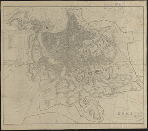
Plan of Rome
6423.
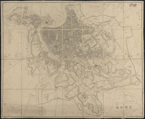
Plan of Rome
6424.
Plan of Rowe's Wharf
6425.
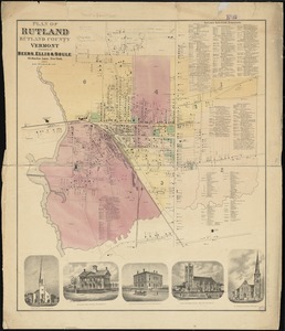
Plan of Rutland, Rutland County, Vermont
6426.
[Plan of Salem Common]
6427.
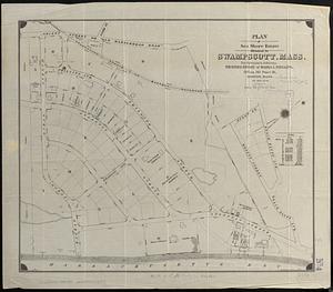
Plan of Sea Shore Estate situated in Swampscott, Mass.
6428.
[Plan of section of proposed Charles River Park]
6429.
Plan of sections of 1, 2 & 3, East Boston
6430.
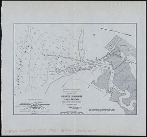
Plan of Sesuit Harbor in East Dennis : under chapter 32 resolves of 1907
6431.
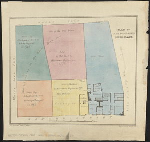
Plan of Shakspeare's birth-place
6432.
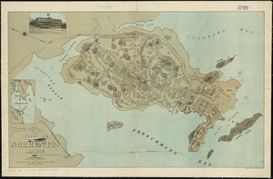
Plan of Sherburne Bluffs, Nantucket, Mass
6433.
Plan of site for new court house on Pemberton Sq. and Somerset St. for the County of Suffolk : taken by authority of Chapter 377
6434.
Plan of Sorrento, Maine
6435.
Plan of South Bay showing the Harbor Commissioners lines
6436.
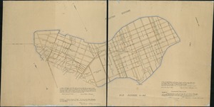
Plan of South Boston
6437.
A plan of South Boston and the owners lands, and the roads, taken from the original plan now in keeping, being the same plan...
6438.
Plan of Springfield
6439.
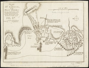
Plan of St. Lucia, in the West Indies : shewing the positions of the English and French forces with the attacks made at its...
6440.
Plan of Stephen W. and Francis Jackson's farm in Newton, 6 1/2 miles from Boston
‹ Prev
Next ›
1
2
…
318
319
320
321
322
323
324
325
326
…
438
439
![[Plan of residences on Park Street in Boston]](https://bpldcassets.blob.core.windows.net/derivatives/images/commonwealth:9s161h36g/image_thumbnail_300.jpg)

![[Plan of Salem Common]](https://bpldcassets.blob.core.windows.net/derivatives/images/commonwealth:9s161g70k/image_thumbnail_300.jpg)
![[Plan of section of proposed Charles River Park]](https://bpldcassets.blob.core.windows.net/derivatives/images/commonwealth:x059cc51b/image_thumbnail_300.jpg)