Toggle navigation
LMEC Home
Exhibitions
Georeferencing
Tools for Teachers
Collections
My Favorites
Sign Up / Log In
Search
Search the map portal
Map Collection
Map Collection
Map Sets
Search
Search
Search for
Search In
All Fields
Creator
Title
Subject
Place
Search All Digital Collections
Advanced Search
8627 Results
My Search
Start Over
More Like
commonwealth:9s161j13c
Remove constraint More Like: commonwealth:9s161j13c
Filter your Search
Place
North and Central America
5,865
United States
4,784
Massachusetts
2,052
Europe
1,359
Suffolk (county)
1,034
Boston
1,007
Canada
453
Asia
422
more
Place
»
Topic
Boston (Mass.)--Maps
577
United States--Maps
273
North America--Maps--Early works to 1800
180
Real property--Massachusetts--Boston--Maps
174
Massachusetts--Maps
160
Landowners--Massachusetts--Boston--Maps
132
New England--Maps
99
Europe--Maps
78
more
Topic
»
Date
Date range begin
–
Date range end
Current results range from
1482
to
2023
View distribution
Creator
United States. Hydrographic Office
594
O.H. Bailey & Co
148
Des Barres, Joseph F. W. (Joseph Frederick Wallet), 1722-1824
123
United States. Post Office Dept
120
Ptolemy, 2nd cent
100
Walling, Henry Francis, 1825-1888
94
Jefferys, Thomas, -1771
90
Geological Survey (U.S.)
86
more
Creator
»
Format
Maps/Atlases
8,568
Manuscripts
217
Prints
56
Books
36
Objects/Artifacts
10
Drawings/Illustrations
8
Posters
4
Georeferenced
Yes
872
No
7,755
Collection
Norman B. Leventhal Map & Education Center Collection
8,558
Boston and New England Maps
2,205
Urban Maps
1,936
Maritime Charts and Atlases
1,081
American Revolutionary War-Era Maps
679
Boston Redevelopment Authority Collection
87
New York Public Library Collection
32
Richard H. Brown Revolutionary War Map Collection at Mount Vernon
18
more
Collection
»
Available to use
No known restrictions
8,411
Creative Commons license
110
Search Constraints
Sort by date (asc)
relevance
title
date (asc)
date (desc)
Number of results to display per page
20 per page
10
per page
20
per page
50
per page
100
per page
View results as:
grid view
map view
Search Results
8161.
Racing routes of the Yankee clippers
8162.
Route and pictorial map of Maine
8163.
This map presents a Bostonian's idea of the United States of America
8164.
Transportation map of Manchoukuo
8165.
The United States of America
8166.
Van Loon's map of the United States : enlivened by thumbnail sketches of American history
8167.
Wallowa National Forest, Oregon
8168.
America : beauty, wonders, inspiration, progress, without end
8169.
Boston Elevated Railway system map
8170.
A New Yorker's idea of the United States of America
8171.
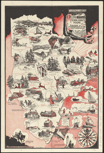
Olde York County Maine : published in commemoration of the 300th anniversary
8172.
Property atlas of city of Lowell, northern district, Middlesex County, Massachusetts, showing the entire city complete in one...
8173.
Winter sports map of the Berkshire Hills
8174.
Boston Elevated Railway system route map
8175.
Cape Cod, Barnstable County, Mass.
8176.
Civil airways of the United States as designated in Civil Air Regulations - chapter 60
8177.
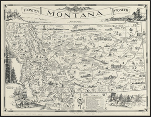
Frontier, Montana, pioneer : a one page history dedicated to the Old Timers
8178.
The White Mountains of New Hampshire
8179.
Atlas of the city of Boston : Boston proper and Back Bay : from actual surveys and official plans
8180.
Boston Elevated Railway system route map
‹ Prev
Next ›
1
2
…
405
406
407
408
409
410
411
412
413
…
431
432