Toggle navigation
LMEC Home
Exhibitions
Georeferencing
Tools for Teachers
Collections
My Favorites
Sign Up / Log In
Search
Search the map portal
Map Collection
Map Collection
Map Sets
Search
Search
Search for
Search In
All Fields
Creator
Title
Subject
Place
Search All Digital Collections
Advanced Search
8840 Results
My Search
Start Over
More Like
commonwealth:9s161g59k
Remove constraint More Like: commonwealth:9s161g59k
Filter your Search
Place
North and Central America
6,017
United States
4,860
Massachusetts
2,079
Europe
1,396
Suffolk (county)
1,046
Boston
1,019
Canada
459
Asia
441
more
Place
»
Topic
Boston (Mass.)--Maps
586
United States--Maps
282
North America--Maps--Early works to 1800
240
Real property--Massachusetts--Boston--Maps
175
Massachusetts--Maps
162
Landowners--Massachusetts--Boston--Maps
133
New England--Maps
102
Europe--Maps
79
more
Topic
»
Date
Date range begin
–
Date range end
Current results range from
1482
to
2023
View distribution
Creator
United States. Hydrographic Office
595
O.H. Bailey & Co
148
Des Barres, Joseph F. W. (Joseph Frederick Wallet), 1722-1824
123
United States. Post Office Dept
120
Ptolemy, 2nd cent
100
Jefferys, Thomas, -1771
95
Walling, Henry Francis, 1825-1888
94
Sayer, Robert, 1725-1794
90
more
Creator
»
Format
Maps/Atlases
8,780
Manuscripts
219
Prints
56
Books
36
Objects/Artifacts
10
Drawings/Illustrations
8
Posters
5
Georeferenced
Yes
872
No
7,968
Collection
Norman B. Leventhal Map & Education Center Collection
8,704
Boston and New England Maps
2,234
Urban Maps
2,023
Maritime Charts and Atlases
1,083
American Revolutionary War-Era Maps
746
Boston Redevelopment Authority Collection
87
MacLean Collection Map Library
60
New York Public Library Collection
32
more
Collection
»
Available to use
No known restrictions
8,556
Creative Commons license
118
Search Constraints
Sort by relevance
relevance
title
date (asc)
date (desc)
Number of results to display per page
20 per page
10
per page
20
per page
50
per page
100
per page
View results as:
grid view
map view
Search Results
6701.
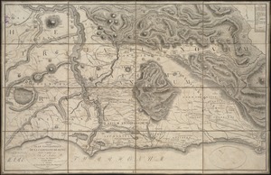
Plan topographique de la campagne de Rome
6702.
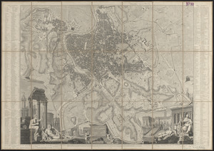
Plan topographique de Rome moderne : avec les changemens et accroissemens nouveaux
6703.
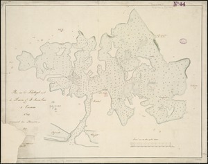
Plan van het Schottegat met de haven, of St. Anna-baai, te Curaçao : 1825
6704.
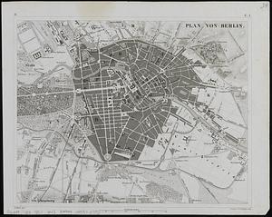
Plan von Berlin
6705.
Plan von den operationen der Koeniglichen Armee unter dem General Sir William Howe : in Neuyorck und Ost-Neujerseÿ gegen die...
6706.
Plan von Dresden
6707.
Plan von Paris und seinen festungswerken
6708.
Plan von Wien und dessen vorstädten mit angabe aller haus nummern und den in neuester zeit vorgenomenen verschönerungen nach...
6709.
Planiglobii terrestris mappa universalis utrumq hemisphærium orient. et occidentale repræsentans ex IV mappis generalibus =...
6710.
Plan-indicateur de la ville et de la campage de Cannes
6711.
Planisferii celesti, calcolati per l'anno MDCC, corretti, et aumentati di molte stelle, ad uso dell' Accademia Cosmografica...
6712.
Planisfero del mondo nuovo
6713.
Planisfero del mondo vecchio
6714.
Planisfero meridionale, corretto, et accresciuto di molte stelle calcolato all' epoca dell' anno 1700
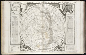
6715.
Planisfero settentrionale, corretto, et accresciuto di molte stelle calcolato all' epoca dell' anno 1700
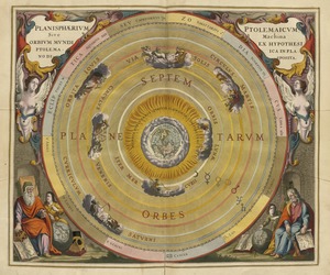
6716.
Planisphaerium Ptolemaicum siue machina orbium mundi ex hypothesi Ptolemaica in plano disposita
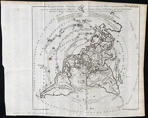
6717.
Planisphere physique, où l'on voit du Pole Septentrional ce que l'on connoit de terres et de mers : avec les grandes chaines...
6718.
Plano de Asuncion
6719.
Plano de la bahia y puerto de Boston
6720.
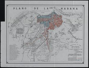
Plano de la Habana : showing proposed paving for the city of Havana as encluded in specifications recently drawn up
‹ Prev
Next ›
1
2
…
332
333
334
335
336
337
338
339
340
…
441
442