Search Constraints
Search Results
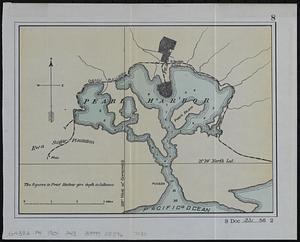
6201. Pearl Harbor

6203. Peking
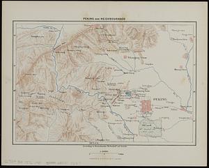
6204. Peking and neighbourhood
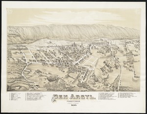
6206. Pen Argyl : Pennsylvania

6207. Penacook, N.H


6209. Pennsylvania

6210. Pennsylvania


6213. Peoples of the Pacific


