Search Constraints
Search Results


482. Percent foreign-born


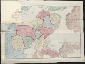
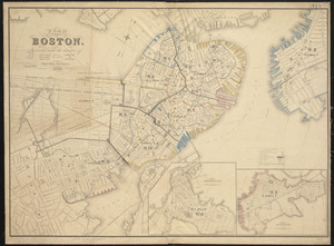
489. Plan of Boston
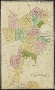
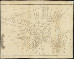
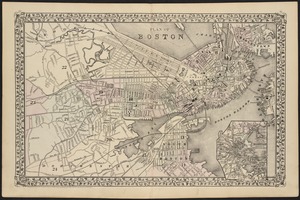
490. Plan of Boston
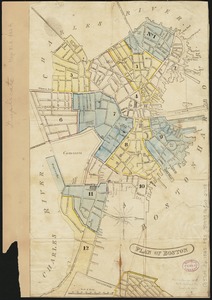
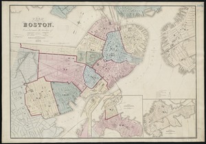
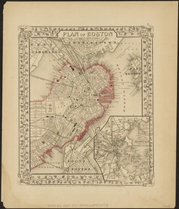
491. Plan of Boston
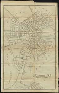
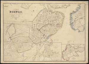
492. Plan of Boston
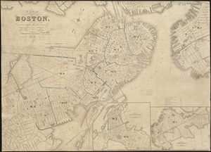
493. Plan of Boston
494. Plan of Boston
495. Plan of Boston
496. Plan of Boston
497. Plan of Boston
498. Plan of Boston
499. Plan of Boston