Toggle navigation
LMEC Home
Exhibitions
Georeferencing
Tools for Teachers
Collections
My Favorites
Sign Up / Log In
Search
Search the map portal
Map Collection
Map Collection
Map Sets
Search
Search
Search for
Search In
All Fields
Creator
Title
Subject
Place
Search All Digital Collections
Advanced Search
8920 Results
My Search
Start Over
More Like
commonwealth:9s161c963
Remove constraint More Like: commonwealth:9s161c963
Filter your Search
Place
North and Central America
6,151
United States
5,067
Massachusetts
2,144
Europe
1,396
Suffolk (county)
1,266
Boston
1,239
Canada
449
Asia
438
more
Place
»
Topic
Boston (Mass.)--Maps
752
United States--Maps
282
Real property--Massachusetts--Boston--Maps
253
City planning--Massachusetts--Boston--Maps
187
Landowners--Massachusetts--Boston--Maps
170
Massachusetts--Maps
166
New England--Maps
104
North America--Maps--Early works to 1800
103
more
Topic
»
Date
Date range begin
–
Date range end
Current results range from
1482
to
2023
View distribution
Creator
United States. Hydrographic Office
595
Boston Redevelopment Authority
192
O.H. Bailey & Co
148
Des Barres, Joseph F. W. (Joseph Frederick Wallet), 1722-1824
124
United States. Post Office Dept
120
Ptolemy, 2nd cent
100
Walling, Henry Francis, 1825-1888
94
Geological Survey (U.S.)
87
more
Creator
»
Format
Maps/Atlases
8,860
Manuscripts
215
Prints
56
Books
36
Objects/Artifacts
10
Drawings/Illustrations
8
Posters
5
Georeferenced
Yes
885
No
8,035
Collection
Norman B. Leventhal Map & Education Center Collection
8,724
Boston and New England Maps
2,390
Urban Maps
2,174
Maritime Charts and Atlases
1,083
American Revolutionary War-Era Maps
638
Boston Redevelopment Authority Collection
223
Massachusetts Real Estate Atlases
38
Mapping Boston Collection
20
more
Collection
»
Available to use
No known restrictions
8,697
Creative Commons license
70
Search Constraints
Sort by relevance
relevance
title
date (asc)
date (desc)
Number of results to display per page
20 per page
10
per page
20
per page
50
per page
100
per page
View results as:
grid view
map view
Search Results
5541.
A New description of Carolina
5542.
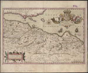
A new description of the shyres Lothian and Linlitquo
5543.
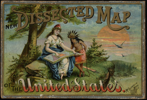
New dissected map of the United States
5544.
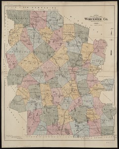
New driving road map of Worcester Co. Massachusetts
5545.
New Engelland, New York, New Yersey und Pensilvania
5546.
New England : reduced from Jeffrey's [sic] map, London, 1774
5547.
New England : die mercklichsten dheile, also genennet durch den durchl: und mechtigen Prinzen und h.h. Carolus, Prinzen von...
5548.
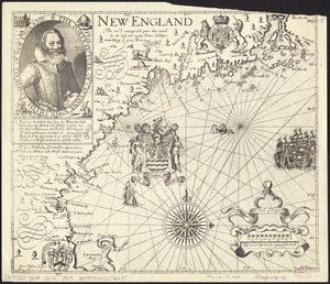
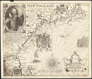
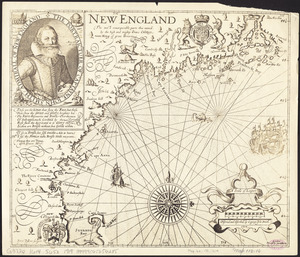
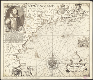
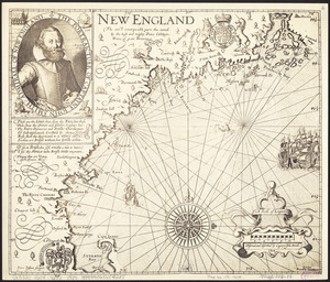
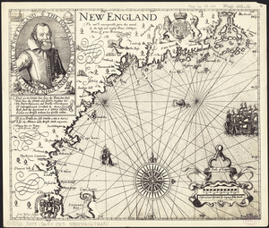
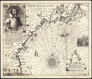
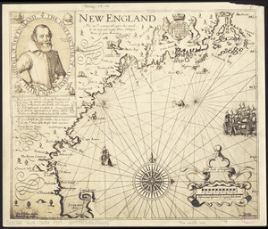
New England : the most remarqueable parts thus named by the high and mighty Prince Charles, Prince of great Britaine
5549.
New England : the most remarqueable parts thus named by the high and mighty Prince Charles, nowe king of great Britaine
5550.
New England : the most remarqueable parts thus named by the high and mighty Prince Charles, nowe king of great Britaine
5551.
New England : the most remarqueable parts thus named by the high and mighty Prince Charles, nowe king of great Britaine
5552.
New England : the most remarqueable parts thus named by the high and mighty Prince Charles, Prince of great Britaine
5553.
New England : the most remarqueable parts thus named by the high and mighty Prince Charles, Prince of great Britaine
5554.
New England : the most remarqueable parts thus named by the high and mighty Prince Charles, Prince of great Britaine
5555.
New England : the most remarqueable parts thus named by the high and mighty Prince Charles, Prince of great Britaine
5556.
New England : the most remarqueable parts thus named by the high and mighty Prince Charles, Prince of great Britaine
5557.
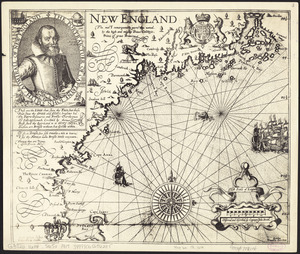
New England
5558.
New England and New York in 1697
5559.
The New England commercial and route survey : showing all postoffices, railroads, electric roads in operation and proposed,...
5560.
The New England commercial and route survey
‹ Prev
Next ›
1
2
…
274
275
276
277
278
279
280
281
282
…
445
446