Toggle navigation
LMEC Home
Exhibitions
Georeferencing
Tools for Teachers
Collections
My Favorites
Sign Up / Log In
Search
Search the map portal
Map Collection
Map Collection
Map Sets
Search
Search
Search for
Search In
All Fields
Creator
Title
Subject
Place
Search All Digital Collections
Advanced Search
8975 Results
My Search
Start Over
More Like
commonwealth:9s161b729
Remove constraint More Like: commonwealth:9s161b729
Filter your Search
Place
North and Central America
6,206
United States
5,122
Massachusetts
2,168
Europe
1,396
Suffolk (county)
1,321
Boston
1,294
Canada
449
Asia
438
more
Place
»
Topic
Boston (Mass.)--Maps
752
United States--Maps
282
Real property--Massachusetts--Boston--Maps
253
City planning--Massachusetts--Boston--Maps
239
Landowners--Massachusetts--Boston--Maps
170
Massachusetts--Maps
166
Urban renewal--Massachusetts--Boston--Maps
125
New England--Maps
104
more
Topic
»
Date
Date range begin
–
Date range end
Current results range from
1482
to
2023
View distribution
Creator
United States. Hydrographic Office
595
Boston Redevelopment Authority
246
O.H. Bailey & Co
148
Des Barres, Joseph F. W. (Joseph Frederick Wallet), 1722-1824
124
United States. Post Office Dept
120
Ptolemy, 2nd cent
100
Walling, Henry Francis, 1825-1888
94
Geological Survey (U.S.)
87
more
Creator
»
Format
Maps/Atlases
8,915
Manuscripts
215
Prints
56
Books
36
Objects/Artifacts
10
Drawings/Illustrations
8
Posters
5
Georeferenced
Yes
885
No
8,090
Collection
Norman B. Leventhal Map & Education Center Collection
8,724
Boston and New England Maps
2,445
Urban Maps
2,229
Maritime Charts and Atlases
1,083
American Revolutionary War-Era Maps
638
Boston Redevelopment Authority Collection
278
Massachusetts Real Estate Atlases
38
Mapping Boston Collection
20
more
Collection
»
Available to use
No known restrictions
8,752
Creative Commons license
70
Search Constraints
Sort by relevance
relevance
title
date (asc)
date (desc)
Number of results to display per page
20 per page
10
per page
20
per page
50
per page
100
per page
View results as:
grid view
map view
Search Results
761.
Illustrative site plan : South End urban renewal area, Massachusetts r-56
762.
Illustrative site plan : a proposal for community review South End/Lower Roxbury development policy
763.
Land use New York streets - South Cove 1953
764.
Relationship of TNEMC development plan area to New York streets land assembly and redevelopment project
765.
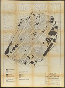
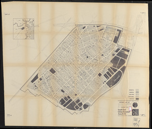
South End project no. Mass. r-56 : existing land use
766.
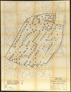
South End project no. Mass. r-56 : building deficiencies
767.
South End renewal area : locality map
768.
South End renewal area : existing conditions & proposed treatment areas
769.
South End renewal area : existing land use
770.
South End urban renewal area project Mass. r-56 site preparation contract no. 50 Worcester Square Park reconstruction
771.
South End urban renewal area R-56 : proposed land use
772.
South End urban renewal area R-56 : zone district changes
773.
South End urban renewal area R-56 : proposed land use
774.
South End urban renewal area R-56 : zone district changes
775.
South End urban renewal area R-56 : proposed land use
776.
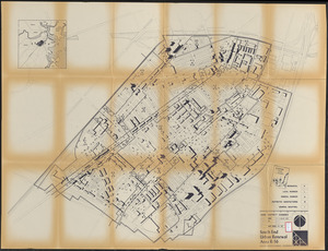
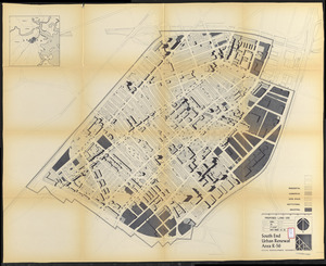
South End urban renewal area R-56 : illustrative site plan
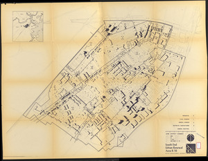
777.
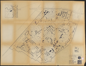
South End urban renewal area R-56 : building deficiencies
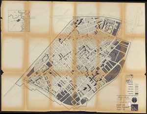
778.
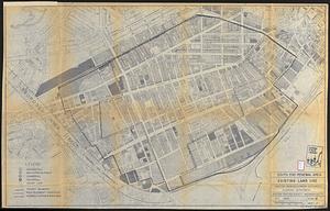
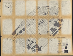
South End urban renewal area R-56 : existing land use
779.
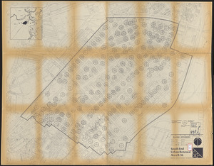
South End urban renewal area R-56 : building conditions
780.
South End urban renewal area R-56 : building conditions
‹ Prev
Next ›
1
2
…
35
36
37
38
39
40
41
42
43
…
448
449