Toggle navigation
LMEC Home
Exhibitions
Georeferencing
Tools for Teachers
Collections
My Favorites
Sign Up / Log In
Search
Search the map portal
Map Collection
Map Collection
Map Sets
Search
Search
Search for
Search In
All Fields
Creator
Title
Subject
Place
Search All Digital Collections
Advanced Search
8975 Results
My Search
Start Over
More Like
commonwealth:9s161b729
Remove constraint More Like: commonwealth:9s161b729
Filter your Search
Place
North and Central America
6,206
United States
5,122
Massachusetts
2,175
Europe
1,396
Suffolk (county)
1,321
Boston
1,294
Canada
449
Asia
438
more
Place
»
Topic
Boston (Mass.)--Maps
752
United States--Maps
282
Real property--Massachusetts--Boston--Maps
253
City planning--Massachusetts--Boston--Maps
239
Landowners--Massachusetts--Boston--Maps
170
Massachusetts--Maps
166
Urban renewal--Massachusetts--Boston--Maps
125
New England--Maps
104
more
Topic
»
Date
Date range begin
–
Date range end
Current results range from
1482
to
2023
View distribution
Creator
United States. Hydrographic Office
595
Boston Redevelopment Authority
246
O.H. Bailey & Co
148
Des Barres, Joseph F. W. (Joseph Frederick Wallet), 1722-1824
124
United States. Post Office Dept
120
Ptolemy, 2nd cent
100
Walling, Henry Francis, 1825-1888
94
Geological Survey (U.S.)
87
more
Creator
»
Format
Maps/Atlases
8,915
Manuscripts
215
Prints
56
Books
36
Objects/Artifacts
10
Drawings/Illustrations
8
Posters
5
Georeferenced
Yes
885
No
8,090
Collection
Norman B. Leventhal Map & Education Center Collection
8,724
Boston and New England Maps
2,445
Urban Maps
2,229
Maritime Charts and Atlases
1,083
American Revolutionary War-Era Maps
638
Boston Redevelopment Authority Collection
278
Massachusetts Real Estate Atlases
38
Mapping Boston Collection
20
more
Collection
»
Available to use
No known restrictions
8,752
Creative Commons license
70
Search Constraints
Sort by relevance
relevance
title
date (asc)
date (desc)
Number of results to display per page
20 per page
10
per page
20
per page
50
per page
100
per page
View results as:
grid view
map view
Search Results
6801.
A plan of the field of battle and disposition of the troops, as they were on the march at the time of the attack on the 9th of...
6802.
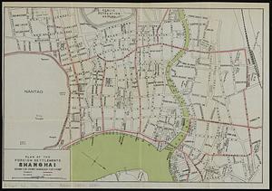
Plan of the foreign settlements, Shanghai : drawn for Crow's "Handbook for China"
6803.
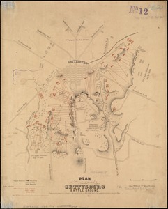
Plan of the Gettysburg battle ground
6804.
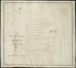
Plan of the Hancock lot given to the town of Quincy by John Adams, formerly President of the U.S
6805.
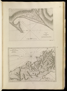
Plan of the harbour of San Fernando de Omoa ; A map of the Isthmus of Panama, drawn from Spanish surveys
6806.
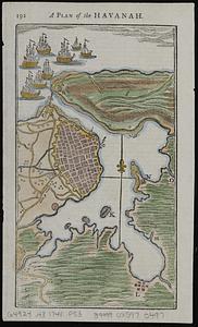
A plan of the Havanah
6807.
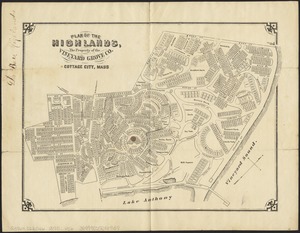
Plan of the Highlands, the property of the Vineyard Grove Co : Cottage City, Mass
6808.
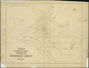
Plan of the hotel estate in Chelsea belonging to the Winnisimmet Company
6809.
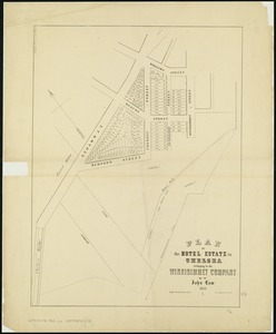
Plan of the Hotel Estate in Chelsea belonging to the Winnisimmet Company
6810.
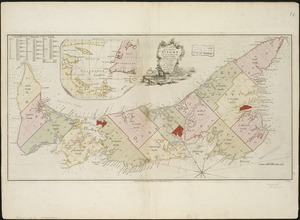
A plan of the island of St. John with the divisions of the counties, parishes, & the lots as granted by government, likewise...
6811.
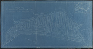
Plan of the Kenberma Park Estates : Nantasket Beach, Hull, Mass.
6812.
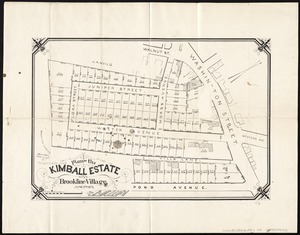
Plan of the Kimball Estate in Brookline Village : June 2nd 1873
6813.
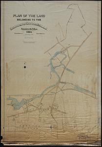
Plan of the land belonging to the Saunders Cotton Mills, Saundersville, Mass.
6814.
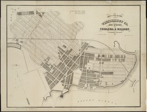
Plan of the lands of the Winnisimmet Co. and others in Chelsea & Malden
6815.
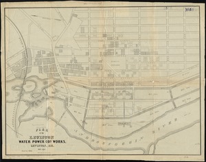
Plan of the Lewiston Water Power Co.'s works, Lewiston, Me
6816.
A plan of the line of march of the detachment from the little Meadows
6817.
A plan of the line of march with the whole baggage
6818.
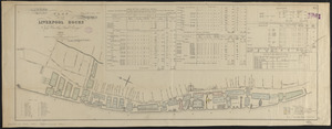
Plan of the Liverpool Docks
6819.
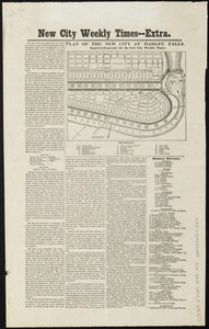
Plan of the new city at Hadley Falls
6820.
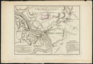
Plan of the operations of General Washington, against the Kings troops in New Jersey : from the 26th. of December 1776, to the...
‹ Prev
Next ›
1
2
…
337
338
339
340
341
342
343
344
345
…
448
449