Toggle navigation
LMEC Home
Exhibitions
Georeferencing
Tools for Teachers
Collections
My Favorites
Sign Up / Log In
Search
Search the map portal
Map Collection
Map Collection
Map Sets
Search
Search
Search for
Search In
All Fields
Creator
Title
Subject
Place
Search All Digital Collections
Advanced Search
1048 Results
My Search
Start Over
More Like
commonwealth:8g84qr74k
Remove constraint More Like: commonwealth:8g84qr74k
Filter your Search
Place
North and Central America
1,044
United States
1,039
Suffolk (county)
1,024
Boston
1,023
Massachusetts
713
Roxbury
53
South End
46
Downtown Boston
40
more
Place
»
Topic
Boston (Mass.)--Maps
752
City planning--Massachusetts--Boston--Maps
367
Urban renewal--Massachusetts--Boston--Maps
235
Real property--Massachusetts--Boston--Maps
131
Land use--Massachusetts--Boston--Maps
99
Buildings--Massachusetts--Boston--Maps
86
Landowners--Massachusetts--Boston--Maps
76
Local transit--Massachusetts--Boston--Maps
57
more
Topic
»
Date
Date range begin
–
Date range end
Current results range from
1743
to
2023
View distribution
Creator
Boston Redevelopment Authority
356
Geo. H. Walker & Co
27
Boynton, George W., d. 1884
21
Sampson, Davenport & Co
21
Sampson, Murdock & Co
20
Bromley, George Washington
18
Bromley, Walter Scott
17
Lufkin, Richard F. (Richard Friend)
17
more
Creator
»
Format
Maps/Atlases
1,048
Manuscripts
9
Prints
1
Georeferenced
Yes
98
No
950
Collection
Boston and New England Maps
868
Urban Maps
770
Norman B. Leventhal Map & Education Center Collection
626
Boston Redevelopment Authority Collection
405
American Revolutionary War-Era Maps
25
Mapping Boston Collection
20
Massachusetts Real Estate Atlases
12
William L. Clements Library Collection
10
more
Collection
»
Available to use
No known restrictions
980
Creative Commons license
34
Search Constraints
Sort by relevance
relevance
title
date (asc)
date (desc)
Number of results to display per page
20 per page
10
per page
20
per page
50
per page
100
per page
View results as:
grid view
map view
Search Results
861.
Government Center project Mass. r-35 : parcel 7 & subway structure topographic map
862.
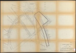
Government Center project Mass. r-35 : utility map
863.
Government Center project Mass. r-35 : property line map
864.
Government Center project no. Mass. r-35 : building deficiencies map
865.
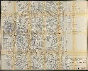
Government Center project no. Mass. r-35 : existing land use map
866.
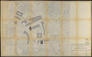
Government Center project no. Mass. r-35 : illustrative site plan
867.
Government Center project no. Mass. r-35 : disposition parcel map
868.
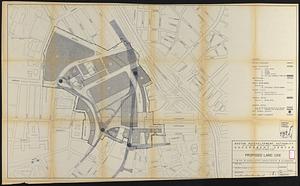
Government Center project no. Mass. r-35 : proposed land use
869.
Government Center project no. Mass. r-35 : proposed land use map
870.
Government Center project no. Mass. r-35 : subway adjustments plan
871.
Government Center redevelopment project : land use map
872.
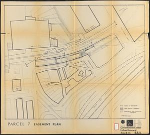
Government Center urban renewal area r-35 : parcel-7 easement plan
873.
Government Center urban renewal area r-35 parcel-7 : site section 1
874.
Government Center urban renewal area r-35 parcel-7 : site section 2
875.
Hancock Woods : as of right plan
876.
Hancock Woods EGA
877.
The Harbor Park system
878.
Herald Street improvements
879.
Illustrative site plan : Government Center
880.
Illustrative site plan : a proposal for community review South End/Lower Roxbury development policy
‹ Prev
Next ›
1
2
…
40
41
42
43
44
45
46
47
48
…
52
53