Toggle navigation
LMEC Home
Exhibitions
Georeferencing
Tools for Teachers
Collections
My Favorites
Sign Up / Log In
Search
Search the map portal
Map Collection
Map Collection
Map Sets
Search
Search
Search for
Search In
All Fields
Creator
Title
Subject
Place
Search All Digital Collections
Advanced Search
180 Results
My Search
Start Over
More Like
commonwealth:8910qw417
Remove constraint More Like: commonwealth:8910qw417
Filter your Search
Place
North and Central America
176
United States
176
California
15
Texas
12
Florida
9
Montana
9
Ohio
8
Michigan
7
more
Place
»
Topic
Aeronautical charts--California
8
Airports--California--Maps
7
Aeronautical charts--Florida
6
Aeronautical charts--Texas
6
Airports--Texas--Maps
6
Airports--Florida--Maps
5
Runways (Aeronautics)--California
5
Aeronautical charts--New York (State)
4
more
Topic
»
Date
Date range begin
–
Date range end
Current results range from
1720
to
2018
View distribution
Creator
United States. National Ocean Service
167
National Ocean Survey
6
Chatelain, Henri Abraham
4
Gueudeville, Nicolas, approximately 1654-approximately 1721
4
Chatelain, Zacharias, 1690-1754
2
l'Honoré & Châtelain
2
Massachusetts Agricultural Experiment Station
1
United States. Bureau of the Census
1
more
Creator
»
Format
Maps/Atlases
176
Books
4
Georeferenced
No
180
Collection
U.S. Government Documents Maps Collection
180
Boston and New England Maps
5
Available to use
No known restrictions
180
Search Constraints
Sort by relevance
relevance
title
date (asc)
date (desc)
Number of results to display per page
20 per page
10
per page
20
per page
50
per page
100
per page
View results as:
grid view
map view
Search Results
161.
Allentown-Bethlehem-Easton Airport, Allentown, Pennsylvania
162.
Atlas historique, ou, nouvelle introduction à l'histoire, à la chronologie & à la géographie ancienne & moderne :...
163.
Atlas historique, ou, nouvelle introduction à l'histoire, à la chronologie & à la géographie ancienne & moderne :...
164.
Atlas historique, ou, nouvelle introduction à l'histoire, à la chronologie & à la géographie ancienne & moderne : représentée...
165.
Atlas historique, ou, nouvelle introduction à l'histoire, à la chronologie & à la géographie ancienne & moderne :...
166.
Birmingham Airport, Birmingham, Alabama
167.
Brownsville/South Padre Island International Airport, Brownsville, Texas
168.
Burlington International Airport, Burlington, Vermont
169.
Columbia Metropolitan Airport, Columbia, South Carolina
170.
Dallas Love Field, Dallas, Texas
171.
Duluth International Airport, Duluth Minnesota
172.
Ephrata Municipal Airport, Ephrata Washington
173.
Gallatin Field, Bozeman, Montana
174.
James M. Cox-Dayton International Airport, Dayton, Ohio
175.
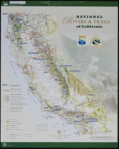
National rivers & trails of California
176.
Port Columbus International Airport, Columbus, Ohio
177.
Robert Mueller Municipal Airport, Austin, Texas
178.
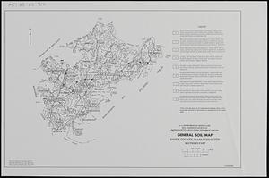
Soil survey of Essex County, Massachusetts, southern part
179.
Southwest Georgia Regional Airport, Albany, Georgia
180.
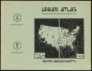
Urban atlas, tract data for standard metropolitan statistical areas : Boston, Massachusetts
‹ Prev
Next ›
1
2
…
5
6
7
8
9