Toggle navigation
LMEC Home
Exhibitions
Georeferencing
Tools for Teachers
Collections
My Favorites
Sign Up / Log In
Search
Search the map portal
Map Collection
Map Collection
Map Sets
Search
Search
Search for
Search In
All Fields
Creator
Title
Subject
Place
Search All Digital Collections
Advanced Search
8721 Results
My Search
Start Over
More Like
commonwealth:8336h3209
Remove constraint More Like: commonwealth:8336h3209
Filter your Search
Place
North and Central America
5,960
United States
4,863
Massachusetts
2,138
Europe
1,392
Suffolk (county)
1,042
Boston
1,015
Canada
449
Asia
437
more
Place
»
Topic
Boston (Mass.)--Maps
586
United States--Maps
279
Massachusetts--Maps
233
Real property--Massachusetts--Boston--Maps
175
Landowners--Massachusetts--Boston--Maps
133
North America--Maps--Early works to 1800
103
New England--Maps
102
Europe--Maps
79
more
Topic
»
Date
Date range begin
–
Date range end
Current results range from
1482
to
2023
View distribution
Creator
United States. Hydrographic Office
595
O.H. Bailey & Co
148
Des Barres, Joseph F. W. (Joseph Frederick Wallet), 1722-1824
123
United States. Post Office Dept
120
Ptolemy, 2nd cent
100
Walling, Henry Francis, 1825-1888
95
Geological Survey (U.S.)
92
Jefferys, Thomas, -1771
85
more
Creator
»
Format
Maps/Atlases
8,660
Manuscripts
217
Prints
56
Books
36
Objects/Artifacts
10
Drawings/Illustrations
8
Posters
5
Ephemera
1
Georeferenced
Yes
878
No
7,843
Collection
Norman B. Leventhal Map & Education Center Collection
8,688
Boston and New England Maps
2,267
Urban Maps
1,993
Maritime Charts and Atlases
1,083
American Revolutionary War-Era Maps
634
Boston Redevelopment Authority Collection
90
Applied Geographics, Inc. Records
19
David Judkins Weaver Papers
17
more
Collection
»
Available to use
No known restrictions
8,546
Creative Commons license
51
Search Constraints
Sort by relevance
relevance
title
date (asc)
date (desc)
Number of results to display per page
20 per page
10
per page
20
per page
50
per page
100
per page
View results as:
grid view
map view
Search Results
1.
Atlas of the city of Somerville, Massachusetts : from actual surveys and official plans
2.
Atlas of the city of Somerville, Massachusetts : from actual surveys and official records
3.
Insurance maps of Boston volume 4 : comprising portions of Charlestown, East Cambridge, Cambridge Port, Old Cambridge & Somerville
4.
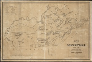
Map of Somerville, Mass
5.
Map of the cities of Boston, Cambridge, Somerville and Chelsea, and the town of Brookline with parts of Newton, Malden and...
6.
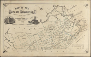
Map of the city of Somerville
7.
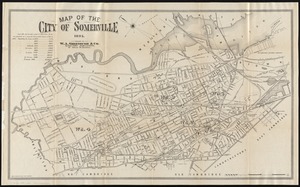
Map of the city of Somerville 1895
8.
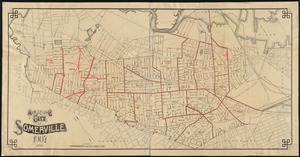
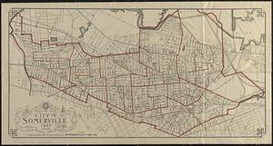
Map of the city of Somerville, 1907
9.
Map of the city of Somerville 1927
10.
The 100th anniversary map of Abraham Lincoln's visit to Massachusetts, September 11-23, 1848
11.
Annexation map
12.
Automobile map of Massachusetts : central section
13.
Bicycle map of Massachusetts
14.
Bicycle map of north eastern Massachusetts
15.
Bicycle map of south eastern Massachusetts
16.
Bicycle map of western Massachusetts
17.
Boston & Gloucester Steamboat Co. : summer season 1889
18.
Boston and its suburban drives
19.
[Boston and Northwestern Junction Railroad]
20.
Boston and surroundings
‹ Prev
Next ›
1
2
3
4
5
…
436
437


![[Boston and Northwestern Junction Railroad]](https://bpldcassets.blob.core.windows.net/derivatives/images/commonwealth:x059cc74n/image_thumbnail_300.jpg)
