Toggle navigation
LMEC Home
Exhibitions
Georeferencing
Tools for Teachers
Collections
My Favorites
Sign Up / Log In
Search
Search the map portal
Map Collection
Map Collection
Map Sets
Search
Search
Search for
Search In
All Fields
Creator
Title
Subject
Place
Search All Digital Collections
Advanced Search
8807 Results
My Search
Start Over
More Like
commonwealth:8049g949n
Remove constraint More Like: commonwealth:8049g949n
Filter your Search
Place
North and Central America
6,020
United States
4,897
Massachusetts
2,079
Europe
1,396
Suffolk (county)
1,046
Boston
1,019
Canada
510
Asia
438
more
Place
»
Topic
Boston (Mass.)--Maps
586
United States--Maps
330
Real property--Massachusetts--Boston--Maps
175
Massachusetts--Maps
162
Landowners--Massachusetts--Boston--Maps
133
North America--Maps--Early works to 1800
103
New England--Maps
102
Europe--Maps
79
more
Topic
»
Date
Date range begin
–
Date range end
Current results range from
1482
to
2023
View distribution
Creator
United States. Hydrographic Office
595
O.H. Bailey & Co
148
Des Barres, Joseph F. W. (Joseph Frederick Wallet), 1722-1824
123
United States. Post Office Dept
120
Ptolemy, 2nd cent
100
Jefferys, Thomas, -1771
99
Walling, Henry Francis, 1825-1888
94
Geological Survey (U.S.)
87
more
Creator
»
Format
Maps/Atlases
8,747
Manuscripts
216
Prints
56
Books
36
Objects/Artifacts
10
Drawings/Illustrations
8
Posters
5
Georeferenced
Yes
871
No
7,936
Collection
Norman B. Leventhal Map & Education Center Collection
8,700
Boston and New England Maps
2,233
Urban Maps
2,023
Maritime Charts and Atlases
1,083
American Revolutionary War-Era Maps
721
Boston Redevelopment Authority Collection
87
William L. Clements Library Collection
56
American Antiquarian Society Collection
22
more
Collection
»
Available to use
No known restrictions
8,556
Creative Commons license
53
Search Constraints
Sort by relevance
relevance
title
date (asc)
date (desc)
Number of results to display per page
20 per page
10
per page
20
per page
50
per page
100
per page
View results as:
grid view
map view
Search Results
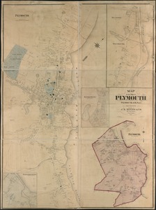
4661.
Map of the town of Plymouth : Plymouth Co. Mass. : from actual surveys
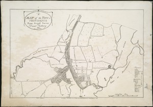
4662.
A map of the town of Providence from actual survey
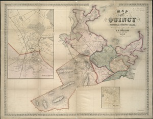
4663.
Map of the town of Quincy, Norfolk County, Mass : surveyed by order of the town
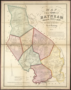
4664.
Map of the town of Raynham, Bristol County, Mass : surveyed by order of the town
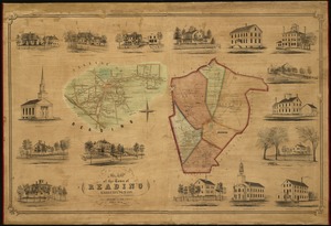
4665.
Map of the town of Reading : Middlesex Co. Mass
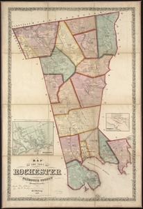
4666.
Map of the town of Rochester, Plymouth County, Massachusetts : surveyed by order of the town
4667.
Map of the town of Roxbury : surveyed by order of the town authorities
4668.
Map of the town of Roxbury
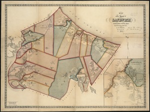
4669.
Map of the town of Sandwich, Barnstable County, Mass : surveyed by order of the town
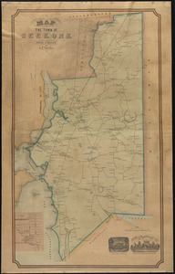
4670.
Map of the town of Seekonk
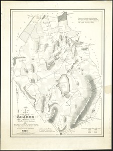
4671.
Map of the town of Sharon, Litchfield County, Connecticut
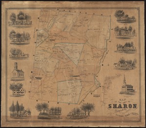
4672.
A map of the town of Sharon, Mass : formerly a part of Stoughton
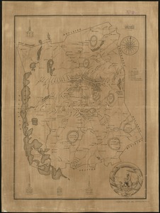
4673.
A Map of the town of Shrewsbury, Mass
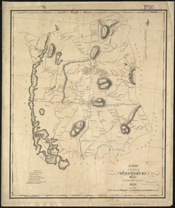
4674.
A map of the Town of Shrewsbury, Mass
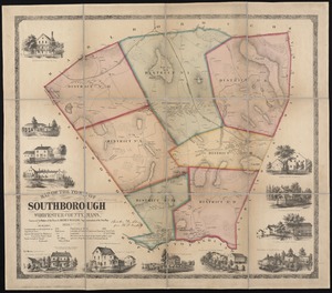
4675.
Map of the town of Southborough Worcester County, Mass : surveyed by order of the town
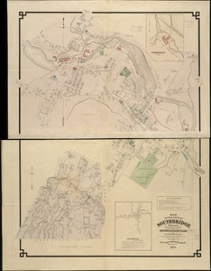
4676.
Map of the town of Southbridge, Mass : including detail plans of Southbridge, Globe village and Sandersdale from recent and...
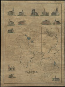
4677.
Map of the town of Taunton, with a view of the public buildings
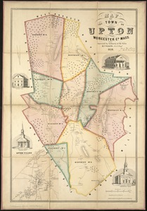
4678.
Map of the town of Upton, Worcester Co., Mass : surveyed by authority of the town
4679.
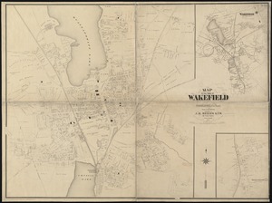
Map of the town of Wakefield Middlesex Co. Mass : from actual surveys
4680.
Map of the town of Walpole Norfolk County Mass : surveyed by authority of the town
‹ Prev
Next ›
1
2
…
230
231
232
233
234
235
236
237
238
…
440
441