Toggle navigation
LMEC Home
Exhibitions
Georeferencing
Tools for Teachers
Collections
My Favorites
Sign Up / Log In
Search
Search the map portal
Map Collection
Map Collection
Map Sets
Search
Search
Search for
Search In
All Fields
Creator
Title
Subject
Place
Search All Digital Collections
Advanced Search
8240 Results
My Search
Start Over
More Like
commonwealth:8049g9430
Remove constraint More Like: commonwealth:8049g9430
Filter your Search
Place
North and Central America
4,927
United States
3,613
Suffolk (county)
1,026
Boston
999
Europe
963
Canada
432
North America
300
France
269
more
Place
»
Topic
Boston (Mass.)--Maps
574
United States--Maps
270
North America--Maps--Early works to 1800
180
Real property--Massachusetts--Boston--Maps
174
Massachusetts--Maps
160
Landowners--Massachusetts--Boston--Maps
132
New England--Maps
99
Europe--Maps
78
more
Topic
»
Date
Date range begin
–
Date range end
Current results range from
1482
to
2023
View distribution
Creator
United States. Hydrographic Office
357
O.H. Bailey & Co
148
Des Barres, Joseph F. W. (Joseph Frederick Wallet), 1722-1824
123
United States. Post Office Dept
120
Ptolemy, 2nd cent
100
Walling, Henry Francis, 1825-1888
94
Jefferys, Thomas, -1771
89
Geological Survey (U.S.)
82
more
Creator
»
Format
Maps/Atlases
8,181
Manuscripts
217
Prints
51
Books
36
Objects/Artifacts
10
Drawings/Illustrations
8
Posters
4
Georeferenced
Yes
872
No
7,368
Collection
Norman B. Leventhal Map Center Collection
8,171
Boston and New England Maps
2,185
Urban Maps
1,925
Maritime Charts and Atlases
750
American Revolutionary War-Era Maps
678
Boston Redevelopment Authority Collection
86
New York Public Library Collection
32
Richard H. Brown Revolutionary War Map Collection at Mount Vernon
18
more
Collection
»
Available to use
No known restrictions
8,024
Creative Commons license
110
Search Constraints
Sort by date (desc)
relevance
title
date (asc)
date (desc)
Number of results to display per page
20 per page
10
per page
20
per page
50
per page
100
per page
View results as:
grid view
map view
Search Results
7541.
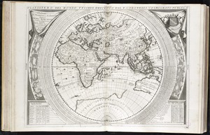
Planisfero del mondo vecchio
7542.
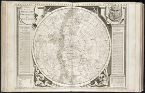
Planisfero meridionale, corretto, et accresciuto di molte stelle calcolato all' epoca dell' anno 1700
7543.
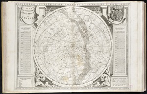
Planisfero settentrionale, corretto, et accresciuto di molte stelle calcolato all' epoca dell' anno 1700
7544.
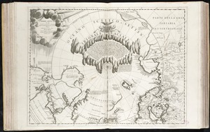
Terre Artiche
7545.
An alphabetical table of all the cities, towns, villages and all other places of merit in the Kingdom of France, & circumjacent...
7546.
Americae nova discriptio
7547.
Archiepiscopatus Trevirensis recentissima delineatio
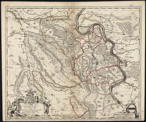
7548.
Bavariae pars inferior cum insertis et adjacentibus regionibus non solum in ejusdem ditiones generales sed etiam in earundem...
7549.
Bavariae pars superior cum insertis et adjacentibus regionibus non solum in ejusdem ditiones genrales sed etiam in earundem...
7550.
Bocche del Fiume Negro et Isole di Cape Verde : possedute dà Portoghesi, scoperte da Antonio di Nola Genouese nell' anno 1440,...
7551.
Ducatus Pomeraniae tabula generalis, in qua sunt Ducatus Pomeraniae, Stettinensis, Cassubiae, Vandaliae, et Bardensis,...
7552.
An epitome of Sr. William Petty's large survey of Ireland divided into its 4 provinces & 32 counties ... and bridges
7553.
Galliae seu Franciae tabula, qua omnes provinciae, via angiariae, et aliae res notatu dignae distincte et accurate ostendatur
7554.
Hollandiae septentrionalis & Frisiae occidentalis accuratissima delineatio
7555.
Illustrissimo Celsissimoque Principii Guiljelmo Henrico D.G. Arausionum Principi Domino suo Clementissimo hanc Comitatus...
7556.
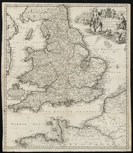
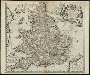
The natural shape of England with the names of rivers, seaports, sands, hills, moors, forrests, and many other remarks which...
7557.
The natural shape of England with the names of rivers, seaports, sands, hills, moors, forrests, and many other remarks which...
7558.
A new map of England and Wales with the direct and cros roads also the number of miles between the townes on the roads by...
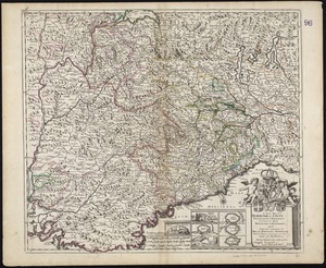
7559.
A New Map of ye Dukedome of Savoy, Principality of Piedmont county of Nice Dukedome of Monferret, and ye adjacent countries of...
7560.
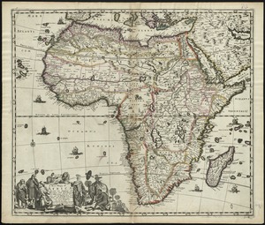
A new mapp of Africa divided into kingdoms and provinces
‹ Prev
Next ›
1
2
…
374
375
376
377
378
379
380
381
382
…
411
412