Toggle navigation
LMEC Home
Exhibitions
Georeferencing
Tools for Teachers
Collections
My Favorites
Sign Up / Log In
Search
Search the map portal
Map Collection
Map Collection
Map Sets
Search
Search
Search for
Search In
All Fields
Creator
Title
Subject
Place
Search All Digital Collections
Advanced Search
8940 Results
My Search
Start Over
More Like
commonwealth:8049g889d
Remove constraint More Like: commonwealth:8049g889d
Filter your Search
Place
North and Central America
6,111
United States
4,937
Massachusetts
2,083
Europe
1,396
Suffolk (county)
1,046
Boston
1,019
Canada
507
Asia
441
more
Place
»
Topic
Boston (Mass.)--Maps
586
United States--Maps
282
North America--Maps--Early works to 1800
240
Real property--Massachusetts--Boston--Maps
175
Massachusetts--Maps
162
Landowners--Massachusetts--Boston--Maps
133
New England--Maps
102
New England--Maps--Early works to 1800
97
more
Topic
»
Date
Date range begin
–
Date range end
Current results range from
1482
to
2023
View distribution
Creator
United States. Hydrographic Office
595
O.H. Bailey & Co
148
Des Barres, Joseph F. W. (Joseph Frederick Wallet), 1722-1824
123
United States. Post Office Dept
120
Ptolemy, 2nd cent
100
Jefferys, Thomas, -1771
96
Walling, Henry Francis, 1825-1888
94
Sayer, Robert, 1725-1794
88
more
Creator
»
Format
Maps/Atlases
8,880
Manuscripts
220
Prints
56
Books
36
Objects/Artifacts
10
Drawings/Illustrations
8
Posters
5
Georeferenced
Yes
876
No
8,064
Collection
Norman B. Leventhal Map & Education Center Collection
8,728
Boston and New England Maps
2,244
Urban Maps
2,023
Maritime Charts and Atlases
1,086
American Revolutionary War-Era Maps
818
MacLean Collection Map Library
102
Boston Redevelopment Authority Collection
87
New York Public Library Collection
36
more
Collection
»
Available to use
No known restrictions
8,559
Creative Commons license
150
Search Constraints
Sort by relevance
relevance
title
date (asc)
date (desc)
Number of results to display per page
20 per page
10
per page
20
per page
50
per page
100
per page
View results as:
grid view
map view
Search Results
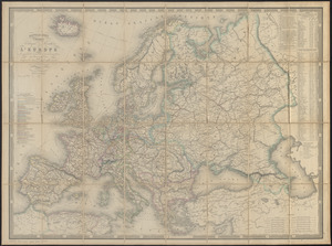
5821.
Nouvelle carte physique, politique & routière de l'Europe : indiquant les grandes voies de communication par mer et par terre
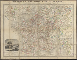
5822.
Nouvelle carte postale de la France, à l'usage des voyageurs, comprenant le nord de l'Italie, la Suisse, la Hollande, la...
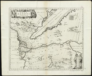
5823.
Nova Aegypti tabula
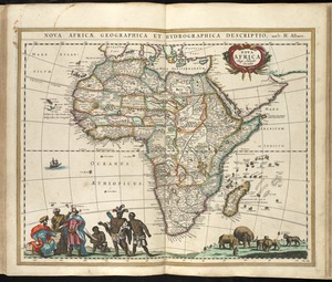
5824.
Nova Africa
5825.
Nova Anglia Septentrionali Americae implantata Anglorumque coloniis florentissima geographicè exhibita
5826.
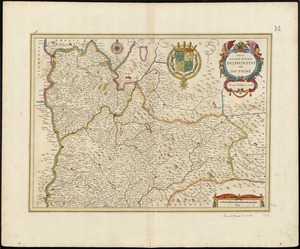
Nova et accurata descriptio Delphinatus vulgo Dauphiné
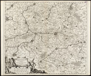
5827.
Nova et accurata Hannoniae comitatus
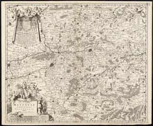
5828.
Nova et accurata Hannoniae comitatus
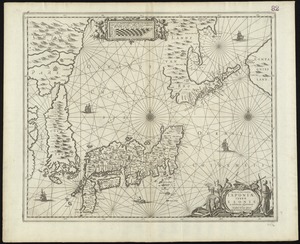
5829.
Nova et accvrata Iaponiae, terrae Esonis ac insularum adjacentium ex novissima detectione descriptio
5830.
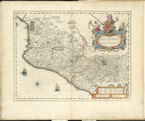
Nova Hispania et Nova Galicia
5831.
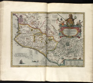
Nova Hispania, et Nova Galicia
5832.
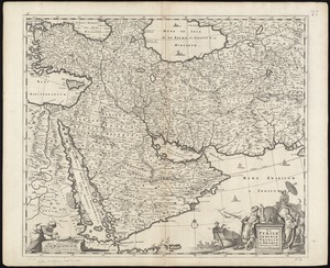
Nova Persiae Armeniae Natoliae et Arabiae
5833.
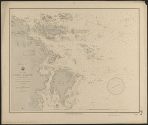
Nova Scotia, Canso Harbor : from a British survey in 1850-55
5834.
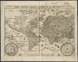
Nova totius terrarum orbis geographica ac hydrographica tabula = Wahre Biltnüss des Gantzen Erden Kraÿses mit allen seinen...
5835.
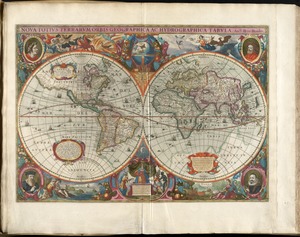
Nova totius terrarum orbis geographica ac hydrographica tabula
5836.
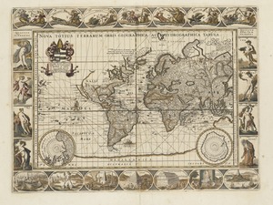
Nova totius terrarum orbis tabula
5837.
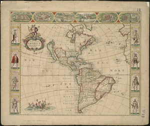
Nova totivs Americae descriptio
5838.
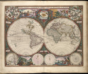
Nova totivs terrarvm orbis geographica ac hydrographica tabvla
5839.
Nova Virginiae tabula
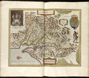
5840.
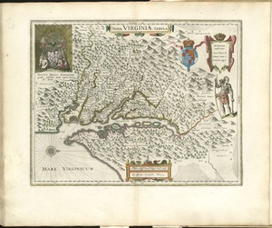
Nova Virginiae tabula
‹ Prev
Next ›
1
2
…
288
289
290
291
292
293
294
295
296
…
446
447