Toggle navigation
LMEC Home
Exhibitions
Georeferencing
Tools for Teachers
Collections
My Favorites
Sign Up / Log In
Search
Search the map portal
Map Collection
Map Collection
Map Sets
Search
Search
Search for
Search In
All Fields
Creator
Title
Subject
Place
Search All Digital Collections
Advanced Search
508 Results
My Search
Start Over
More Like
commonwealth:7h14cw783
Remove constraint More Like: commonwealth:7h14cw783
Filter your Search
Place
North and Central America
505
United States
502
Suffolk (county)
494
Boston
493
Massachusetts
194
Charlestown
64
Roxbury
53
South End
49
more
Place
»
Topic
City planning--Massachusetts--Boston--Maps
418
Urban renewal--Massachusetts--Boston--Maps
253
Boston (Mass.)--Maps
132
Land use--Massachusetts--Boston--Maps
102
Buildings--Massachusetts--Boston--Maps
85
Charlestown (Boston, Mass.)--Maps
67
Real property--Massachusetts--Boston--Maps
61
Roxbury (Boston, Mass.)--Maps
50
more
Topic
»
Date
Date range begin
–
Date range end
Current results range from
1775
to
2022
View distribution
Creator
Boston Redevelopment Authority
372
Downtown Waterfront Corporation
10
Victor Gruen Associates
10
Boston (Mass.). Parks and Recreation Department
9
Sasaki Associates
6
Boston (Mass.). Department of Parks
5
Charles A. Maguire and Associates
5
I.M. Pei & Associates
5
more
Creator
»
Format
Maps/Atlases
506
Drawings/Illustrations
4
Manuscripts
1
Prints
1
Georeferenced
Yes
6
No
502
Collection
Boston and New England Maps
496
Urban Maps
476
Boston Redevelopment Authority Collection
442
Norman B. Leventhal Map & Education Center Collection
118
American Revolutionary War-Era Maps
4
William L. Clements Library Collection
3
David Judkins Weaver Papers
2
Mapping Boston Collection
2
more
Collection
»
Available to use
No known restrictions
501
Creative Commons license
2
Search Constraints
Sort by relevance
relevance
title
date (asc)
date (desc)
Number of results to display per page
20 per page
10
per page
20
per page
50
per page
100
per page
View results as:
grid view
map view
Search Results
81.
Metropolitan District Commission combined sewer overflow project Dorchester Bay area
82.
Midtown area plan for the public realm
83.
North Harvard project area : land use of project area
84.
Park Plaza urban renewal area : map no. 2 land use map (existing)
85.
Parker Hill-Fenway urban renewal area r-48 : proposed land use
86.
Parker Hill-Fenway urban renewal area r-48 : existing land use
87.
Plan for Boston
88.
Roxbury - N. Dorchester G.N.R.P. : preliminary land use plan
89.
Roxbury-N. Dorchester G.N.R.P. r-50 : proposed land use
90.
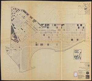
South Boston urban renewal area r-51 : proposed land use
91.
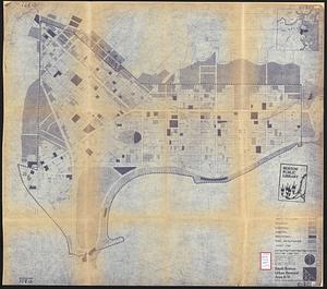
South Boston urban renewal area r-51 : existing land use
92.
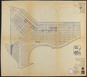
South Boston urban renewal area r-51 : existing land use
93.
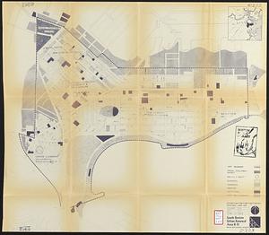
South Boston urban renewal area r-51 : proposed land use
94.
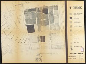
South Cove proposed land use
95.
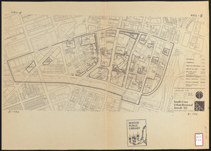
South Cove urban renewal area R-92 : disposition plan
96.
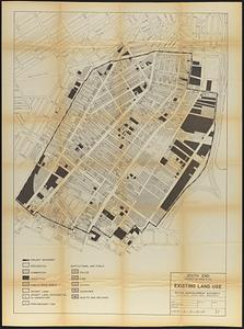
South End project no. Mass. r-56 : existing land use
97.
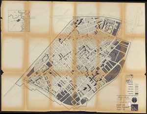
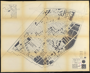
South End urban renewal area R-56 : proposed land use
98.
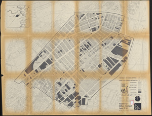
South End urban renewal area R-56 : proposed land use
99.
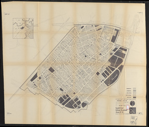
South End urban renewal area R-56 : proposed land use
100.
South End urban renewal area R-56 : existing land use
‹ Prev
Next ›
1
2
3
4
5
6
7
8
9
…
25
26