Toggle navigation
LMEC Home
Exhibitions
Georeferencing
Tools for Teachers
Collections
My Favorites
Sign Up / Log In
Search
Search the map portal
Map Collection
Map Collection
Map Sets
Search
Search
Search for
Search In
All Fields
Creator
Title
Subject
Place
Search All Digital Collections
Advanced Search
1108 Results
My Search
Start Over
More Like
commonwealth:7h14cw341
Remove constraint More Like: commonwealth:7h14cw341
Filter your Search
Place
North and Central America
1,080
United States
1,073
Suffolk (county)
1,042
Boston
1,041
Massachusetts
738
Roxbury
54
South End
47
Downtown Boston
40
more
Place
»
Topic
Boston (Mass.)--Maps
752
City planning--Massachusetts--Boston--Maps
376
Urban renewal--Massachusetts--Boston--Maps
239
Real property--Massachusetts--Boston--Maps
131
Land use--Massachusetts--Boston--Maps
99
Buildings--Massachusetts--Boston--Maps
86
Landowners--Massachusetts--Boston--Maps
76
Local transit--Massachusetts--Boston--Maps
58
more
Topic
»
Date
Date range begin
–
Date range end
Current results range from
1743
to
2023
View distribution
Creator
Boston Redevelopment Authority
358
Geo. H. Walker & Co
27
Boynton, George W., d. 1884
21
Sampson, Davenport & Co
21
Sampson, Murdock & Co
20
Bromley, George Washington
18
Bromley, Walter Scott
17
Lufkin, Richard F. (Richard Friend)
17
more
Creator
»
Format
Maps/Atlases
1,108
Manuscripts
10
Drawings/Illustrations
1
Prints
1
Georeferenced
Yes
103
No
1,005
Collection
Boston and New England Maps
887
Urban Maps
783
Norman B. Leventhal Map & Education Center Collection
687
Boston Redevelopment Authority Collection
414
American Revolutionary War-Era Maps
25
Mapping Boston Collection
20
Massachusetts Real Estate Atlases
12
William L. Clements Library Collection
10
more
Collection
»
Available to use
No known restrictions
1,039
Creative Commons license
35
Search Constraints
Sort by relevance
relevance
title
date (asc)
date (desc)
Number of results to display per page
20 per page
10
per page
20
per page
50
per page
100
per page
View results as:
grid view
map view
Search Results
881.
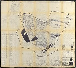
Charlestown urban renewal area r-55 : property map and perimeter boundaries
882.
Charlestown urban renewal area r-55 : proposed land use
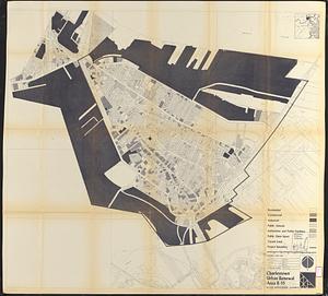
883.
Charlestown urban renewal area r-55 : existing land use
884.
Charlestown urban renewal area r-55 : disposition parcels
885.
Charlestown urban renewal area r-55 : right of way adjustments
886.
Charlestown urban renewal area r-55 : building deficiencies
887.
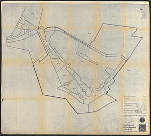
Charlestown urban renewal area r-55 : treatment areas
888.
Charlestown urban renewal area r-55 : existing land use
889.
Charlestown urban renewal area r-55 : existing zoning
890.
Charlestown urban renewal area r-55 : proposed zoning
891.
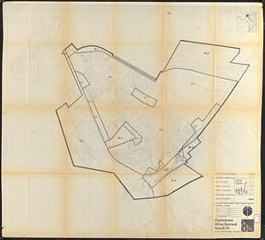
Charlestown urban renewal area r-55 : building deficiencies
892.
City of Boston topographic and planimetric survey
893.
Columbia Point feasibility survey area
894.
Commonwealth of Massachusetts U.S. congressional districts
895.
Cooperative housing : Whitney Street
896.
DEM/BRA Long Wharf master plan : schematic'
897.
Developer's kit : South Cove urban renewal area, project no. Mass. r-92, parcel r-7, residential use
898.
Development of the Calfpasture, Boston, Massachusetts
899.
Disposition parcels, Charlestown urban renewal area, Massachusetts R-55
900.
Dorchester improvement area, map no. 2 - south east
‹ Prev
Next ›
1
2
…
41
42
43
44
45
46
47
48
49
…
55
56