Toggle navigation
LMEC Home
Exhibitions
Georeferencing
Tools for Teachers
Collections
My Favorites
Sign Up / Log In
Search
Search the map portal
Map Collection
Map Collection
Map Sets
Search
Search
Search for
Search In
All Fields
Creator
Title
Subject
Place
Search All Digital Collections
Advanced Search
8719 Results
My Search
Start Over
More Like
commonwealth:7h14b0204
Remove constraint More Like: commonwealth:7h14b0204
Filter your Search
Place
North and Central America
5,950
United States
4,866
Massachusetts
2,080
Europe
1,396
Suffolk (county)
1,046
Boston
1,019
Canada
454
Asia
438
more
Place
»
Topic
Boston (Mass.)--Maps
586
United States--Maps
282
Real property--Massachusetts--Boston--Maps
175
Massachusetts--Maps
163
Landowners--Massachusetts--Boston--Maps
133
New England--Maps
105
North America--Maps--Early works to 1800
103
Europe--Maps
79
more
Topic
»
Date
Date range begin
–
Date range end
Current results range from
1482
to
2023
View distribution
Creator
United States. Hydrographic Office
595
O.H. Bailey & Co
148
Des Barres, Joseph F. W. (Joseph Frederick Wallet), 1722-1824
123
United States. Post Office Dept
120
Ptolemy, 2nd cent
100
Walling, Henry Francis, 1825-1888
94
Geological Survey (U.S.)
90
Jefferys, Thomas, -1771
85
more
Creator
»
Format
Maps/Atlases
8,659
Manuscripts
218
Prints
56
Books
36
Objects/Artifacts
10
Drawings/Illustrations
8
Posters
5
Georeferenced
Yes
869
No
7,850
Collection
Norman B. Leventhal Map & Education Center Collection
8,700
Boston and New England Maps
2,237
Urban Maps
2,023
Maritime Charts and Atlases
1,083
American Revolutionary War-Era Maps
633
Boston Redevelopment Authority Collection
87
Maps from AAS
8
William L. Clements Library Collection
6
more
Collection
»
Available to use
No known restrictions
8,558
Creative Commons license
48
Search Constraints
Sort by relevance
relevance
title
date (asc)
date (desc)
Number of results to display per page
20 per page
10
per page
20
per page
50
per page
100
per page
View results as:
grid view
map view
Search Results
5921.
Pianta della campagna Romana nello stato antico e moderno
5922.
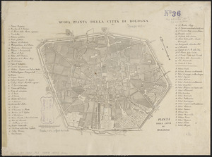
Pianta della città di Bologna
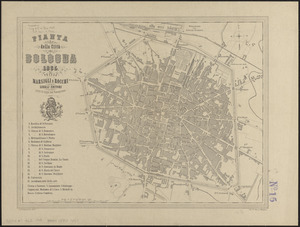
5923.
Pianta della città di Bologna
5924.
Pianta della città di Boston
5925.
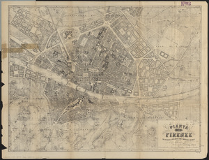
Pianta della città di Firenze
5926.
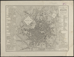
Pianta della cittá di Milano
5927.
Pianta della citta di Roma
5928.
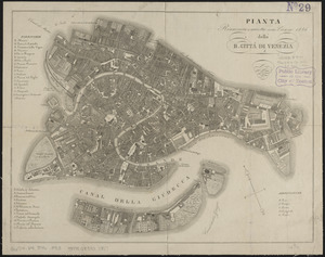
Pianta della R. cittá di Venezia
5929.
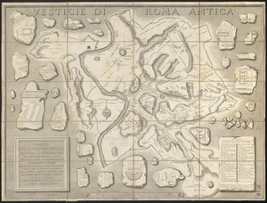
Pianta delle vestigia di Roma
5930.
Pianta di Firenze : con la cinta daziaria ed i nuovi quartieri secondo il piano regolatore d'ampliamento dedicata al Comm....
5931.
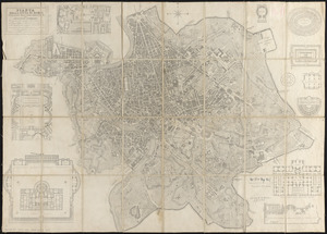
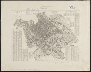
Pianta di Roma
5932.
Pianta di Roma
5933.
Pianta monumentale di Firenze
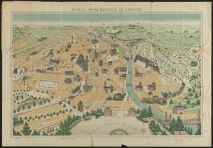
5934.
Pianta topografica della antica, e moderna Ostia, colle adjacenze : fatta per ordine della santitá di nostro signore Papa Pio...
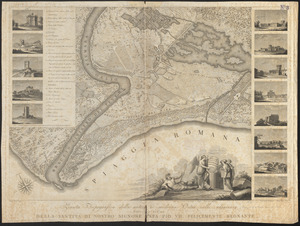
5935.
Picardia
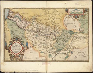
5936.
Picardiae, Belgicae regionis descriptio
5937.
The pictorial map, a world of stamps
5938.
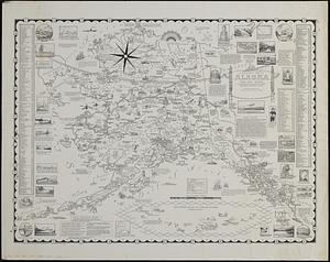
A pictorial map of Alaska, the 49th state : in Aleut "Alaska" means "great country" : population in 1958 about 215,000
5939.
A pictorial map of Germany
5940.
A pictorial map of Germany
‹ Prev
Next ›
1
2
…
293
294
295
296
297
298
299
300
301
…
435
436