Toggle navigation
LMEC Home
Exhibitions
Georeferencing
Tools for Teachers
Collections
My Favorites
Sign Up / Log In
Search
Search the map portal
Map Collection
Map Collection
Map Sets
Search
Search
Search for
Search In
All Fields
Creator
Title
Subject
Place
Search All Digital Collections
Advanced Search
8582 Results
My Search
Start Over
More Like
commonwealth:7h149z89p
Remove constraint More Like: commonwealth:7h149z89p
Filter your Search
Place
North and Central America
5,845
United States
4,769
Massachusetts
2,052
Europe
1,360
Suffolk (county)
1,034
Boston
1,007
Canada
448
Asia
423
more
Place
»
Topic
Boston (Mass.)--Maps
577
United States--Maps
273
Real property--Massachusetts--Boston--Maps
174
Massachusetts--Maps
160
Landowners--Massachusetts--Boston--Maps
132
North America--Maps--Early works to 1800
103
New England--Maps
99
Europe--Maps
79
more
Topic
»
Date
Date range begin
–
Date range end
Current results range from
1482
to
2023
View distribution
Creator
United States. Hydrographic Office
594
O.H. Bailey & Co
148
Des Barres, Joseph F. W. (Joseph Frederick Wallet), 1722-1824
123
United States. Post Office Dept
120
Ptolemy, 2nd cent
100
Walling, Henry Francis, 1825-1888
94
Geological Survey (U.S.)
86
Jefferys, Thomas, -1771
85
more
Creator
»
Format
Maps/Atlases
8,523
Manuscripts
215
Prints
56
Books
36
Objects/Artifacts
10
Drawings/Illustrations
8
Posters
4
Georeferenced
Yes
869
No
7,713
Collection
Norman B. Leventhal Map & Education Center Collection
8,569
Boston and New England Maps
2,204
Urban Maps
1,936
Maritime Charts and Atlases
1,081
American Revolutionary War-Era Maps
616
Boston Redevelopment Authority Collection
87
Mapping Boston Collection
19
Sidney R. Knafel Map Collection at Phillips Academy
13
Available to use
No known restrictions
8,409
Creative Commons license
65
Search Constraints
Sort by relevance
relevance
title
date (asc)
date (desc)
Number of results to display per page
20 per page
10
per page
20
per page
50
per page
100
per page
View results as:
grid view
map view
Search Results
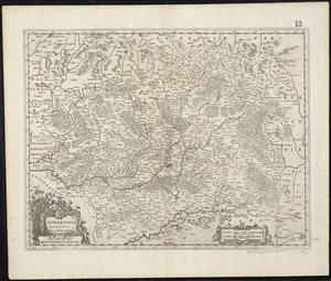
3221.
Lotharingia ducatus noua descriptio
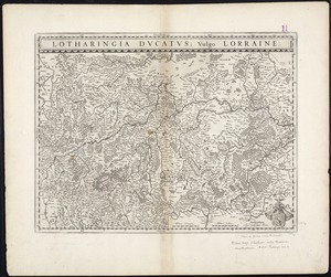
3222.
Lotharingia Ducatus, vulgo Lorraine
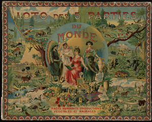
3223.
Loto des 5 parties du monde : races humaines, productions, vegetales et animales [cover]
3224.
Louisiana
3225.
Louisiana : Chef Menteur sheet
3226.
Louisiana : Hahnville sheet
3227.
Louisiana : Saint Bernard sheet
3228.
Louisiana : New Orleans sheet
3229.
Louisiana : Spanish Fort sheet
3230.
Louisiana : Bonnet Carre sheet
3231.
Louisiana
3232.
Louisiana, a dream state
3233.
La Louisiana, parte settentrionalle, scoperta sotto la protettione di Luigi XIV, Ré di Francia, etc
3234.
Lovell's map of the city of Montreal : including Westmount, Outremount, Verdun, Montreal West and St. Laurent
3235.
Low Archipelago or Paumotu Group
3236.
Ludlow, Vt
3237.
Lugdunensis Prima, cujus metropolis Lugdunum Segusianorum : Province de Lyon ou sont les dioeceses de l'Archevesche de Lyon, et...
3238.
Lumberman's map of northern Maine
3239.
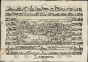
Lunenburg, Nova Scotia
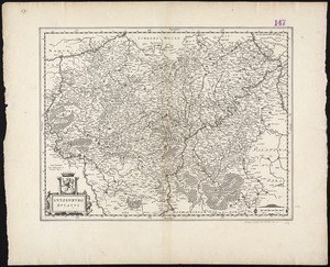
3240.
Lutzenburg Ducatus
‹ Prev
Next ›
1
2
…
158
159
160
161
162
163
164
165
166
…
429
430