Toggle navigation
LMEC Home
Exhibitions
Georeferencing
Tools for Teachers
Collections
My Favorites
Sign Up / Log In
Search
Search the map portal
Map Collection
Map Collection
Map Sets
Search
Search
Search for
Search In
All Fields
Creator
Title
Subject
Place
Search All Digital Collections
Advanced Search
8719 Results
My Search
Start Over
More Like
commonwealth:7h149z475
Remove constraint More Like: commonwealth:7h149z475
Filter your Search
Place
North and Central America
5,950
United States
4,858
Massachusetts
2,080
Europe
1,396
Suffolk (county)
1,046
Boston
1,019
Canada
453
Asia
438
more
Place
»
Topic
Boston (Mass.)--Maps
586
United States--Maps
282
Real property--Massachusetts--Boston--Maps
175
Massachusetts--Maps
163
Landowners--Massachusetts--Boston--Maps
133
New England--Maps
105
North America--Maps--Early works to 1800
103
Europe--Maps
79
more
Topic
»
Date
Date range begin
–
Date range end
Current results range from
1482
to
2023
View distribution
Creator
United States. Hydrographic Office
595
O.H. Bailey & Co
148
Des Barres, Joseph F. W. (Joseph Frederick Wallet), 1722-1824
123
United States. Post Office Dept
120
Ptolemy, 2nd cent
100
Walling, Henry Francis, 1825-1888
94
Geological Survey (U.S.)
90
Jefferys, Thomas, -1771
85
more
Creator
»
Format
Maps/Atlases
8,659
Manuscripts
218
Prints
56
Books
36
Objects/Artifacts
10
Drawings/Illustrations
8
Posters
5
Georeferenced
Yes
869
No
7,850
Collection
Norman B. Leventhal Map & Education Center Collection
8,700
Boston and New England Maps
2,237
Urban Maps
2,023
Maritime Charts and Atlases
1,083
American Revolutionary War-Era Maps
633
Boston Redevelopment Authority Collection
87
American Antiquarian Society Collection
8
William L. Clements Library Collection
6
more
Collection
»
Available to use
No known restrictions
8,558
Creative Commons license
48
Search Constraints
Sort by relevance
relevance
title
date (asc)
date (desc)
Number of results to display per page
20 per page
10
per page
20
per page
50
per page
100
per page
View results as:
grid view
map view
Search Results
7141.
Rhode Island
7142.
Rhode Island
7143.
Rhode Island
7144.
Richard Mayer's commercial map of Northern Chili, Bolivia & southern Peru
7145.
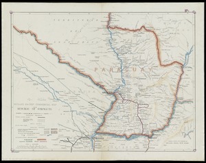
Richard Mayer's commercial map of the republic of Paraguay
7146.
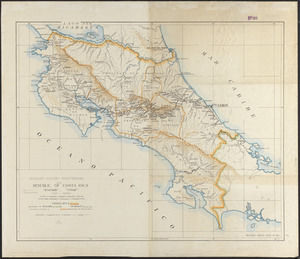
Richard Mayer's commercial of the Republic of Costa Rica
7147.
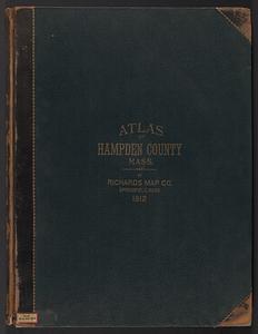
Richards standard atlas of Hampden County, Massachusetts : based upon, and carefully compiled from, the official plans, surveys...
7148.
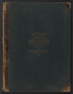
Richards standard atlas of the city of Holyoke, Massachusetts : containing ten double page maps in colors, covering the entire...
7149.
Richards standard atlas of the city of Lynn and the towns of Swampscott, Saugus and Nahant, Massachusetts : from official...
7150.
Richards standard atlas of the city of Springfield and the town of Longmeadow, Massachusetts
7151.
Richards standard atlas of the city of Springfield and the town of Longmeadow, Massachusetts [plate 1]
7152.
Richards standard atlas of the city of Springfield and the town of Longmeadow, Massachusetts [plate 10]
7153.
Richards standard atlas of the city of Springfield and the town of Longmeadow, Massachusetts [plate 9]
7154.
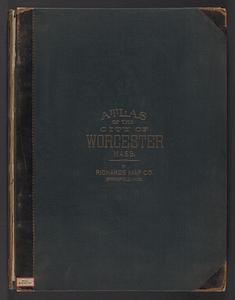
Richards standard atlas of the City of Worcester Massachusetts : containing thirty-one double page maps in colors, covering the...
7155.
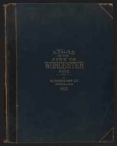
Richards standard atlas of the City of Worcester Massachusetts : containing thirty-one double page maps in colors, covering the...
7156.
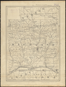
Richland County, Wis.
7157.
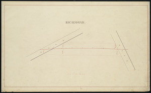
Richmond
7158.
Richmond and its defences : constructed and engraved to illustrate "The war with the South"
7159.
Richmond Petersburg and vicinity
7160.
Richmond Petersburg and vicinity
‹ Prev
Next ›
1
2
…
354
355
356
357
358
359
360
361
362
…
435
436


![Richards standard atlas of the city of Springfield and the town of Longmeadow, Massachusetts [plate 1]](https://bpldcassets.blob.core.windows.net/derivatives/images/commonwealth:3f463814r/image_thumbnail_300.jpg)
![Richards standard atlas of the city of Springfield and the town of Longmeadow, Massachusetts [plate 10]](https://bpldcassets.blob.core.windows.net/derivatives/images/commonwealth:3f463818v/image_thumbnail_300.jpg)
![Richards standard atlas of the city of Springfield and the town of Longmeadow, Massachusetts [plate 9]](https://bpldcassets.blob.core.windows.net/derivatives/images/commonwealth:3f4638169/image_thumbnail_300.jpg)