Toggle navigation
LMEC Home
Exhibitions
Georeferencing
Tools for Teachers
Collections
My Favorites
Sign Up / Log In
Search
Search the map portal
Map Collection
Map Collection
Map Sets
Search
Search
Search for
Search In
All Fields
Creator
Title
Subject
Place
Search All Digital Collections
Advanced Search
180 Results
My Search
Start Over
More Like
commonwealth:7366d740c
Remove constraint More Like: commonwealth:7366d740c
Filter your Search
Place
North and Central America
176
United States
176
California
15
Texas
12
Montana
9
Florida
8
Ohio
8
Michigan
7
more
Place
»
Topic
Aeronautical charts--California
8
Airports--California--Maps
7
Aeronautical charts--Texas
6
Airports--Texas--Maps
6
Aeronautical charts--Florida
5
Runways (Aeronautics)--California
5
Aeronautical charts--New York (State)
4
Airports--Florida--Maps
4
more
Topic
»
Date
Date range begin
–
Date range end
Current results range from
1720
to
2018
View distribution
Creator
United States. National Ocean Service
167
National Ocean Survey
6
Chatelain, Henri Abraham
4
Gueudeville, Nicolas, approximately 1654-approximately 1721
4
Chatelain, Zacharias, 1690-1754
2
l'Honoré & Châtelain
2
Massachusetts Agricultural Experiment Station
1
United States. Bureau of the Census
1
more
Creator
»
Format
Maps/Atlases
176
Books
4
Georeferenced
No
180
Collection
U.S. Government Documents Maps Collection
180
Boston and New England Maps
5
Available to use
No known restrictions
180
Search Constraints
Sort by relevance
relevance
title
date (asc)
date (desc)
Number of results to display per page
20 per page
10
per page
20
per page
50
per page
100
per page
View results as:
grid view
map view
Search Results
1.
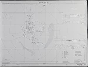
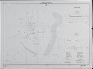
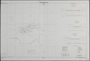
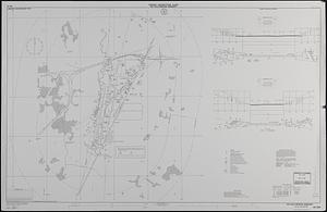
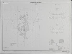
Airport obstruction chart : OC 318, Pensacola Regional Airport, Pensacola, Florida
2.
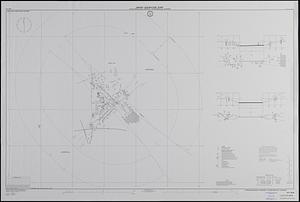
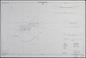
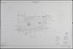
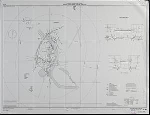
Airport obstruction chart : OC 208, Craig Municipal Airport, Jacksonville, Florida
3.
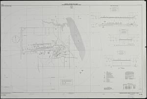
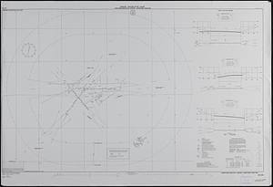
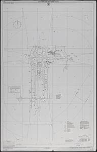
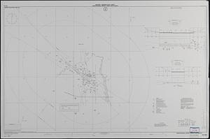
Airport obstruction chart, : OC 252, Melbourne Regional Airport, Melbourne, Florida
4.
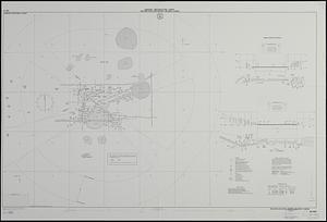
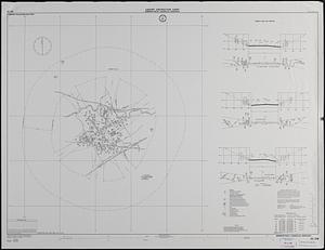
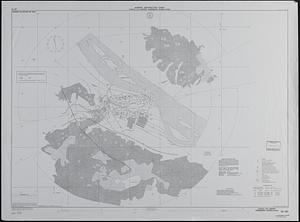
Airport obstruction chart, : OC 305, Orlando Executive Airport, Orlando, Florida
5.
Airport obstruction chart : OC 318, Pensacola Regional Airport, Pensacola, Florida
6.
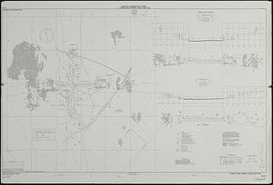
Airport obstruction chart
7.
Airport obstruction chart : OC 236, Long Beach Airport (Daugherty Field), Long Beach, California
8.
Airport obstruction chart : OC 239, Standiford Field, Louisville, Kentucky
9.
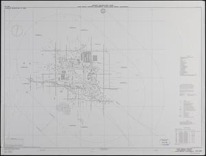
Airport obstruction chart : OC 224, Capital City Airport, Lansing, Michigan
10.
Airport obstruction chart : OC 224, Capital City Airport, Lansing, Michigan
11.
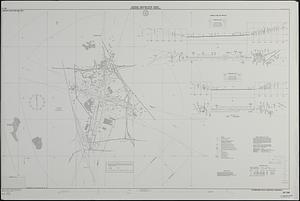
Airport obstruction chart : Lewistown Municipal Airport, Lewistown, Montana
12.
Airport obstruction chart : OC 238, Bowman Field, Louisville, Kentucky
13.
Airport obstruction chart : OC 254, Key Field, Meridian, Mississippi
14.
Airport obstruction chart : Miami International Airport, Miami, Florida
15.
Airport obstruction chart : OC 253, Memphis International Airport, Memphis, Tennessee
16.
Airport obstruction chart : OC 187, Capital City Airport, Harrisburg, Pennsylvania
17.
Airport obstruction chart : OC 189, Hartford--Brainard Airport, Hartford, Connecticut
18.
Airport obstruction chart : OC 189, Hartford-Brainard Airport, Hartford, Connecticut
19.
Airport obstruction chart : OC 188 Harrisburg International Airport--Olmsted Field, Middletown, Pennsylvania
20.
Airport obstruction chart : OC 202, Huron Regional Airport, Huron, South Dakota
‹ Prev
Next ›
1
2
3
4
5
…
8
9