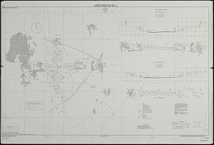
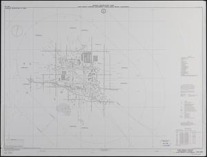
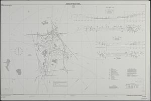
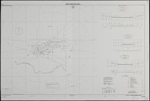
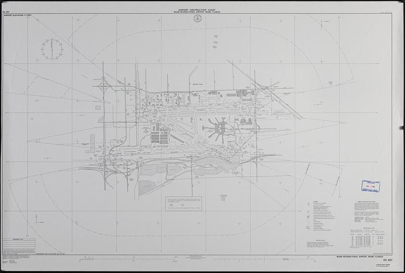
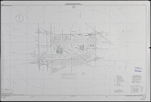
Airport obstruction chart : Miami International Airport, Miami, Florida
Item Information
- Title:
- Airport obstruction chart : Miami International Airport, Miami, Florida
- Publisher:
- United States. National Ocean Service
- Name on Item:
-
surveyed and compiled by the National Ocean Service (NOS), U.S. Department of Commerce
- Date:
-
1990
- Format:
-
Maps/Atlases
- Location:
-
Boston Public Library
Central Library in Copley Square - Collection (local):
-
U.S. Government Documents Maps Collection
- Subjects:
-
Airports--Florida--Miami--Maps
Aeronautical charts--Florida--Miami
Runways (Aeronautics)--Florida--Miami--Maps
Miami International Airport
- Places:
-
FloridaMiami-Dade (county)Miami
Miami International Airport
- Extent:
- 1 map ; 76 x 122 cm.
- Terms of Use:
-
No known copyright restrictions.
No known restrictions on use.
- Publisher:
-
Washington, D.C. :
U.S. Dept. of Commerce, National Oceanic and Atmospheric Administration, National Ocean Service
- Edition:
- 14th ed., field surveys Mar. 1991, published Sept. 1991.
- Scale:
-
Scale 1:12,000
- Projection:
- Transverse mercator projection
- Language:
-
English
- Notes:
-
"Airport elevation 11 feet."
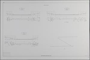
Includes runway plans, on verso, and profiles and operational data.
Shopping list no. 91-0762-P.
- Identifier:
-
06_01_019367A
06_01_019367B
- Call #:
-
GOV DOCS MAP C 55.411/3:OC 257/991