Toggle navigation
LMEC Home
Exhibitions
Georeferencing
Tools for Teachers
Collections
My Favorites
Sign Up / Log In
Search
Search the map portal
Map Collection
Map Collection
Map Sets
Search
Search
Search for
Search In
All Fields
Creator
Title
Subject
Place
Search All Digital Collections
Advanced Search
8558 Results
My Search
Start Over
More Like
commonwealth:6t053r66q
Remove constraint More Like: commonwealth:6t053r66q
Filter your Search
Place
North and Central America
5,849
United States
4,771
Massachusetts
2,052
Europe
1,359
Suffolk (county)
1,034
Boston
1,007
Canada
448
Asia
422
more
Place
»
Topic
Boston (Mass.)--Maps
577
United States--Maps
273
Real property--Massachusetts--Boston--Maps
174
Massachusetts--Maps
160
Landowners--Massachusetts--Boston--Maps
132
North America--Maps--Early works to 1800
106
New England--Maps
99
Europe--Maps
78
more
Topic
»
Date
Date range begin
–
Date range end
Current results range from
1482
to
2023
View distribution
Creator
United States. Hydrographic Office
594
O.H. Bailey & Co
148
Des Barres, Joseph F. W. (Joseph Frederick Wallet), 1722-1824
123
United States. Post Office Dept
120
Ptolemy, 2nd cent
100
Walling, Henry Francis, 1825-1888
94
Jefferys, Thomas, -1771
87
Geological Survey (U.S.)
86
more
Creator
»
Format
Maps/Atlases
8,499
Manuscripts
218
Prints
56
Books
36
Objects/Artifacts
10
Drawings/Illustrations
8
Posters
4
Georeferenced
Yes
870
No
7,688
Collection
Norman B. Leventhal Map & Education Center Collection
8,549
Boston and New England Maps
2,204
Urban Maps
1,936
Maritime Charts and Atlases
1,081
American Revolutionary War-Era Maps
624
Boston Redevelopment Authority Collection
87
Richard H. Brown Revolutionary War Map Collection at Mount Vernon
4
Newberry Library Collection
2
more
Collection
»
Available to use
No known restrictions
8,408
Creative Commons license
52
Search Constraints
Sort by date (desc)
relevance
title
date (asc)
date (desc)
Number of results to display per page
20 per page
10
per page
20
per page
50
per page
100
per page
View results as:
grid view
map view
Search Results
8101.
Vmbria overo ducato di Spoleto
8102.
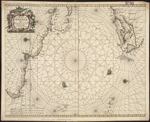
Pascaerte van 't westelyckste deel vande Spaense Zee, tuschen Brasil, de zoute en Vlaemse eylanded, en voorwestwart
8103.
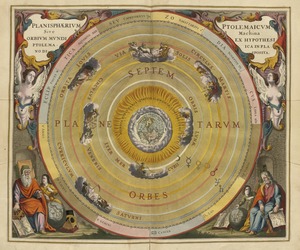
Planisphaerium Ptolemaicum siue machina orbium mundi ex hypothesi Ptolemaica in plano disposita
8104.
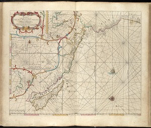
[Alleen de Caribische Eilanden, vervat in 't groot]
8105.
Americae
8106.
Asiae nova
8107.
De cust van Barbaria, Gualata, Arguyn en Geneheo van Capo S Vincente tot Capo Verde
8108.
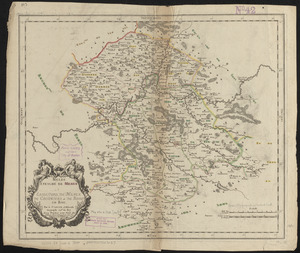
Diocese du Mans divisee par doyennes ruraux
8109.
Diocese, prevoste, et eslection de Paris : le diocese est divisé en archipretrés, ou doyennés ruraux, la prevosté en...
8110.
Europae
8111.
Insubres in Segusianis : partie du dioecese et archevche de Lyon : partie septentrionale de Bresse, Bugey, et Valromey,...
8112.
Meldi : evesché de Meaux : eslections de Meaux de Colomiers et de Rosoy en Brie
8113.
Noua et accurata totius Americae tabula
8114.
Noui Belgii Nouaeque Angliae nec non partis Virginiae tabula
8115.
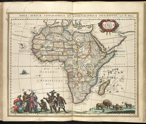
Nova Africa
8116.
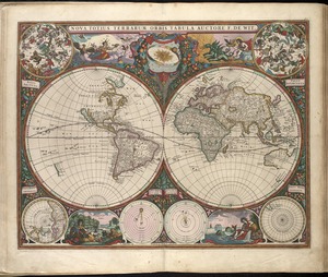
Nova totius terrarum orbis tabula
8117.
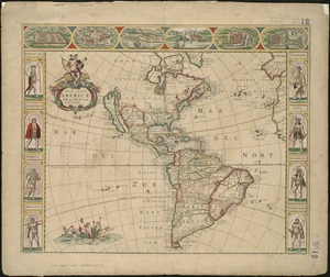
Nova totivs Americae descriptio
8118.
Pas caert van Nieu Nederland, Virginia en Nieu Engelant
8119.
Pascaart vertoonende de zeecusten van Chili, Peru, Hispania Nova, Nova Granada en California
8120.
Pascaerte van Brazil en Nieu Nederlandt, van Corvo en Flores tot de Barbados
‹ Prev
Next ›
1
2
…
402
403
404
405
406
407
408
409
410
…
427
428

![[Alleen de Caribische Eilanden, vervat in 't groot]](https://bpldcassets.blob.core.windows.net/derivatives/images/commonwealth:st74cw59p/image_thumbnail_300.jpg)