Toggle navigation
LMEC Home
Exhibitions
Georeferencing
Tools for Teachers
Collections
My Favorites
Sign Up / Log In
Search
Search the map portal
Map Collection
Map Collection
Map Sets
Search
Search
Search for
Search In
All Fields
Creator
Title
Subject
Place
Search All Digital Collections
Advanced Search
8707 Results
My Search
Start Over
More Like
commonwealth:6t053q80b
Remove constraint More Like: commonwealth:6t053q80b
Filter your Search
Place
North and Central America
5,932
United States
4,847
Massachusetts
2,079
Europe
1,396
Suffolk (county)
1,046
Boston
1,019
Canada
450
Asia
438
more
Place
»
Topic
Boston (Mass.)--Maps
586
United States--Maps
282
Real property--Massachusetts--Boston--Maps
175
Massachusetts--Maps
162
Landowners--Massachusetts--Boston--Maps
133
North America--Maps--Early works to 1800
108
New England--Maps
102
Europe--Maps
79
more
Topic
»
Date
Date range begin
–
Date range end
Current results range from
1482
to
2023
View distribution
Creator
United States. Hydrographic Office
595
O.H. Bailey & Co
148
Des Barres, Joseph F. W. (Joseph Frederick Wallet), 1722-1824
123
United States. Post Office Dept
120
Ptolemy, 2nd cent
100
Walling, Henry Francis, 1825-1888
94
Jefferys, Thomas, -1771
87
Geological Survey (U.S.)
86
more
Creator
»
Format
Maps/Atlases
8,647
Manuscripts
218
Prints
56
Books
36
Objects/Artifacts
10
Drawings/Illustrations
8
Posters
5
Georeferenced
Yes
870
No
7,837
Collection
Norman B. Leventhal Map & Education Center Collection
8,694
Boston and New England Maps
2,233
Urban Maps
2,023
Maritime Charts and Atlases
1,083
American Revolutionary War-Era Maps
629
Boston Redevelopment Authority Collection
87
Richard H. Brown Revolutionary War Map Collection at Mount Vernon
5
MacLean Collection Map Library
3
more
Collection
»
Available to use
No known restrictions
8,552
Creative Commons license
55
Search Constraints
Sort by relevance
relevance
title
date (asc)
date (desc)
Number of results to display per page
20 per page
10
per page
20
per page
50
per page
100
per page
View results as:
grid view
map view
Search Results
4361.
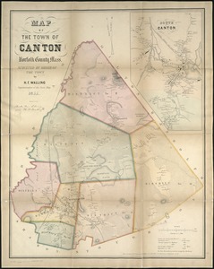
Map of the town of Canton, Norfolk County, Mass
4362.
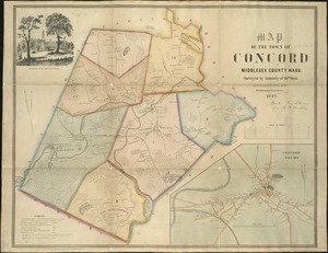
Map of the town of Concord : Middlesex County Mass., surveyed by authority of the town
4363.
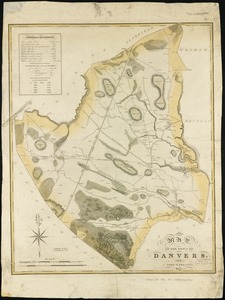
Map of the town of Danvers
4364.
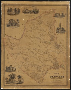
Map of the town of Danvers Massachusetts
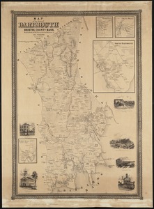
4365.
Map of the town of Dartmouth, Bristol County Mass
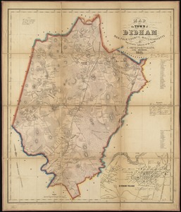
4366.
Map of the town of Dedham, Norfolk County, Massachusetts
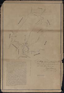
4367.
Map of the town of Dedham taken in the year 1795 by order of the General Court at their session June 18 1794
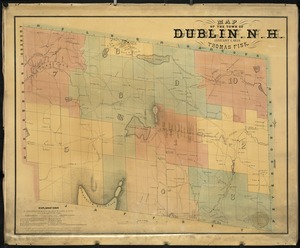
4368.
Map of the town of Dublin, N.H
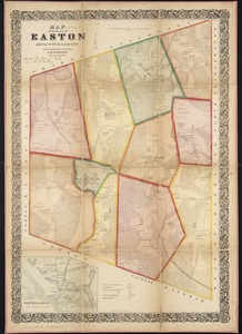
4369.
Map of the town of Easton, Bristol County, Massachusetts : surveyed by order of the town
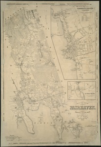
4370.
Map of the town of Fairhaven, Bristol County, Mass : surveyed by order of the town
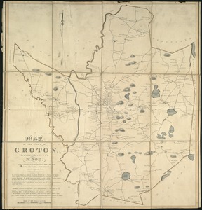
4371.
A map of the town of Groton, Middlesex County, Mass
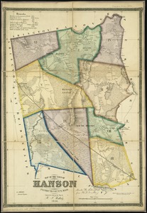
4372.
Map of the town of Hanson, Plymouth County, Mass : surveyed by order of the town
4373.
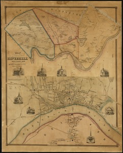
Map of the town of Haverhill, Essex County, Mass
4374.
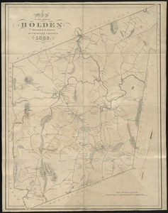
A map of the town of Holden
4375.
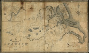
Map of the town of Ipswich, county of Essex, state of Massachts
4376.
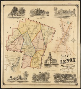
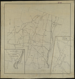
Map of the town of Lenox Berkshire Co. Massachusetts
4377.
Map of the town of Lenox, Massachusetts
4378.
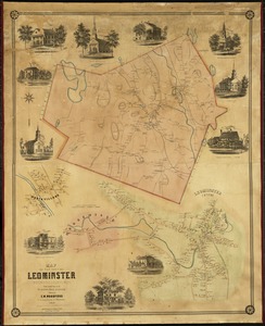
Map of the town of Leominster : Worcester County, Mass
4379.
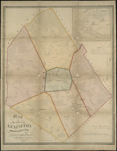
A map of the town of Lexington Middlesex County, Mass : surveyed by order of the town
4380.
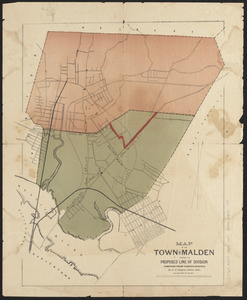
Map of the town of Malden showing the proposed line of division compiled from various surveys
‹ Prev
Next ›
1
2
…
215
216
217
218
219
220
221
222
223
…
435
436