Toggle navigation
LMEC Home
Exhibitions
Georeferencing
Tools for Teachers
Collections
My Favorites
Sign Up / Log In
Search
Search the map portal
Map Collection
Map Collection
Map Sets
Search
Search
Search for
Search In
All Fields
Creator
Title
Subject
Place
Search All Digital Collections
Advanced Search
8776 Results
My Search
Start Over
More Like
commonwealth:6t053p36k
Remove constraint More Like: commonwealth:6t053p36k
Filter your Search
Place
North and Central America
6,007
United States
4,917
Massachusetts
2,092
Europe
1,396
Suffolk (county)
1,048
Boston
1,021
Canada
458
Asia
438
more
Place
»
Topic
Boston (Mass.)--Maps
587
United States--Maps
282
Real property--Massachusetts--Boston--Maps
175
Massachusetts--Maps
162
Landowners--Massachusetts--Boston--Maps
133
North America--Maps--Early works to 1800
106
New England--Maps
102
New England--Maps--Early works to 1800
97
more
Topic
»
Date
Date range begin
–
Date range end
Current results range from
1482
to
2023
View distribution
Creator
United States. Hydrographic Office
595
O.H. Bailey & Co
148
Des Barres, Joseph F. W. (Joseph Frederick Wallet), 1722-1824
123
United States. Post Office Dept
120
Ptolemy, 2nd cent
100
Walling, Henry Francis, 1825-1888
94
Jefferys, Thomas, -1771
88
Geological Survey (U.S.)
86
more
Creator
»
Format
Maps/Atlases
8,716
Manuscripts
219
Prints
56
Books
36
Objects/Artifacts
10
Drawings/Illustrations
8
Posters
5
Georeferenced
Yes
876
No
7,900
Collection
Norman B. Leventhal Map & Education Center Collection
8,720
Boston and New England Maps
2,246
Urban Maps
2,023
Maritime Charts and Atlases
1,086
American Revolutionary War-Era Maps
665
Boston Redevelopment Authority Collection
87
Mapping Boston Collection
24
Sidney R. Knafel Map Collection at Phillips Academy
20
more
Collection
»
Available to use
No known restrictions
8,555
Creative Commons license
92
Search Constraints
Sort by relevance
relevance
title
date (asc)
date (desc)
Number of results to display per page
20 per page
10
per page
20
per page
50
per page
100
per page
View results as:
grid view
map view
Search Results
5921.
Perspective view of Bunker Hill Monument
5922.
A perspective view of Lake George : Plan of Ticonderoga
5923.
Peru
5924.
Peru
5925.
Peru
5926.
Peru and Bolivia
5927.
Peru, Chili and La Plata
5928.
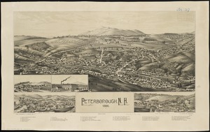
Peterborough, N.H : 1886
5929.
Peters World map
5930.
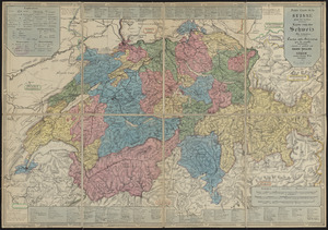
Petite carte de la Suisse pour les écoles = Karte von der Schweiz für schulen = Carta della Svizzera per le scuole
5931.
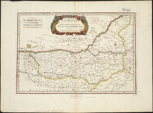
Petrocorii : Evesché de Sarlat : partie meridionale de l'eslection de Perigord
5932.
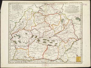
Petrocorii : Evesché de Perigord : partie septentrionale de la Seneschausée de Perigord : partie septentrionale de l'Election...
5933.
Phelps & Ensign's travellers' guide, and map of the United States, containing the roads, distances, steam boat and canal routes &c
5934.
Phelps & Ensign's travellers' guide, and map of the United States, containing the roads, distances, steam boat and canal routes &c
5935.
Phelps & Watson's new map of the United States
5936.
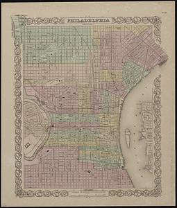
Philadelphia
5937.
Philadelphia water front, Schuylkill River, Pennsylvania
5938.
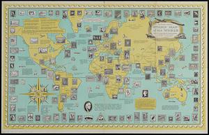
The Philatelic Institute's stamp map of the world
5939.
Philippine Islands : [outline map]
5940.
The Philippine Islands
‹ Prev
Next ›
1
2
…
293
294
295
296
297
298
299
300
301
…
438
439