Toggle navigation
LMEC Home
Exhibitions
Georeferencing
Tools for Teachers
Collections
My Favorites
Sign Up / Log In
Search
Search the map portal
Map Collection
Map Collection
Map Sets
Search
Search
Search for
Search In
All Fields
Creator
Title
Subject
Place
Search All Digital Collections
Advanced Search
9089 Results
My Search
Start Over
More Like
commonwealth:6d572d48h
Remove constraint More Like: commonwealth:6d572d48h
Filter your Search
Place
North and Central America
6,320
United States
5,238
Massachusetts
2,157
Suffolk (county)
1,440
Boston
1,413
Europe
1,396
Canada
449
Asia
438
more
Place
»
Topic
Boston (Mass.)--Maps
687
City planning--Massachusetts--Boston--Maps
418
United States--Maps
282
Urban renewal--Massachusetts--Boston--Maps
253
Real property--Massachusetts--Boston--Maps
251
Landowners--Massachusetts--Boston--Maps
169
Massachusetts--Maps
162
Buildings--Massachusetts--Boston--Maps
125
more
Topic
»
Date
Date range begin
–
Date range end
Current results range from
1482
to
2023
View distribution
Creator
United States. Hydrographic Office
595
Boston Redevelopment Authority
392
O.H. Bailey & Co
148
Des Barres, Joseph F. W. (Joseph Frederick Wallet), 1722-1824
123
United States. Post Office Dept
120
Ptolemy, 2nd cent
100
Walling, Henry Francis, 1825-1888
94
Geological Survey (U.S.)
86
more
Creator
»
Format
Maps/Atlases
9,028
Manuscripts
215
Prints
56
Books
36
Objects/Artifacts
10
Drawings/Illustrations
9
Posters
5
Georeferenced
Yes
870
No
8,219
Collection
Norman B. Leventhal Map & Education Center Collection
8,697
Boston and New England Maps
2,590
Urban Maps
2,377
Maritime Charts and Atlases
1,083
American Revolutionary War-Era Maps
620
Boston Redevelopment Authority Collection
441
Massachusetts Real Estate Atlases
34
William L. Clements Library Collection
3
more
Collection
»
Available to use
No known restrictions
8,908
Creative Commons license
49
Search Constraints
Sort by relevance
relevance
title
date (asc)
date (desc)
Number of results to display per page
20 per page
10
per page
20
per page
50
per page
100
per page
View results as:
grid view
map view
Search Results
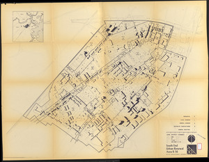
461.
South End urban renewal area R-56 : property map
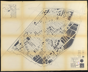
462.
South End urban renewal area R-56 : property map
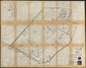
463.
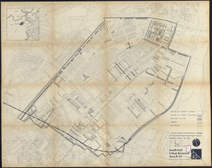
South End urban renewal area R-56 : proposed rights-of-way
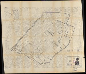
464.
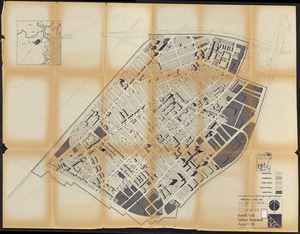
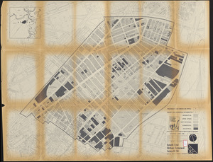
South End urban renewal area R-56 : proposed land use
465.
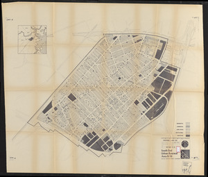
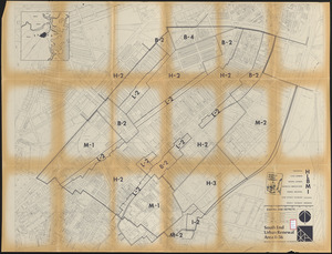
South End urban renewal area R-56 : zone district changes
466.
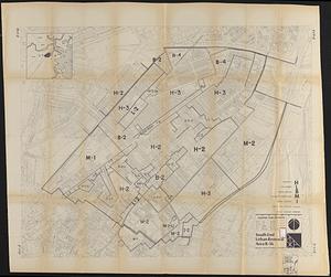
South End urban renewal area R-56 : proposed land use
467.
South End urban renewal area R-56 : zone district changes
468.
South End urban renewal area R-56 : proposed land use
469.
South End urban renewal area R-56 : proposed rights-of-way
470.
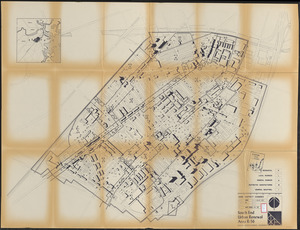
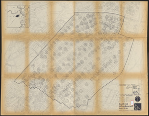
South End urban renewal area R-56 : proposed treatment areas
471.
South End urban renewal area R-56 : proposed rights-of-way
472.
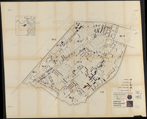
South End urban renewal area R-56 : building deficiencies
473.
South End urban renewal area R-56 : existing land use
474.
South End urban renewal area R-56 : existing zone districts
475.
South End urban renewal area R-56 : existing zone districts
476.
South End urban renewal area R-56 : existing zone districts
477.
South Station development study : access plan
478.
South Station development study : site location and functional areas
479.
South Station development study : parcel plan
480.
South Station development study : estimated track retirement
‹ Prev
Next ›
1
2
…
20
21
22
23
24
25
26
27
28
…
454
455