Toggle navigation
LMEC Home
Exhibitions
Georeferencing
Tools for Teachers
Collections
My Favorites
Sign Up / Log In
Search
Search the map portal
Map Collection
Map Collection
Map Sets
Search
Search
Search for
Search In
All Fields
Creator
Title
Subject
Place
Search All Digital Collections
Advanced Search
79 Results
My Search
Start Over
More Like
commonwealth:6395x786q
Remove constraint More Like: commonwealth:6395x786q
Filter your Search
Place
North and Central America
65
United States
63
New York
40
Europe
6
Erie (county)
5
Lower Bay
5
New Jersey
5
Upper Bay
5
more
Place
»
Topic
Navigation
8
Coastlines
5
Harbors
5
Rivers
2
Streets
2
1706
1
Atlantic Coast (U.S.)
1
Buildings
1
more
Topic
»
Date
Date range begin
–
Date range end
Current results range from
1540
to
2005
View distribution
Creator
Cram, George Franklin, 1841-1928
11
Rand McNally and Company
7
Matthews-Northrup Company
5
Smith, Benjamin E. (Benjamin Eli), 1857-1913
5
Bache, A. D. (Alexander Dallas), 1806-1867
4
Mitchell, S. Augustus (Samuel Augustus), 1792-1868
4
Faden, William, 1749-1836
3
Johnson, A. J. (Alvin Jewett), 1827-1884
3
more
Creator
»
Format
Maps/Atlases
77
Books
1
Prints
1
Georeferenced
No
79
Collection
Robert E. Diefenbach Map Collection at Phillips Academy
75
Ralph Finos Map Collection at Phillips Academy
2
American Revolutionary War-Era Maps
1
Norman B. Leventhal Map & Education Center Collection
1
Richard H. Brown Revolutionary War Map Collection at Mount Vernon
1
Available to use
No known restrictions
75
Creative Commons license
4
Search Constraints
Sort by relevance
relevance
title
date (asc)
date (desc)
Number of results to display per page
20 per page
10
per page
20
per page
50
per page
100
per page
View results as:
grid view
map view
Search Results
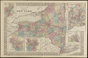
21.
County map of the state of New York
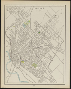
22.
Dallas, Texas
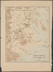
23.
District annexed to New York City in 1895
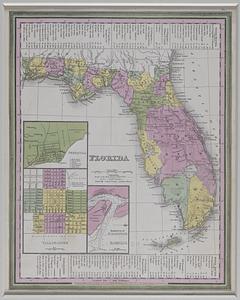
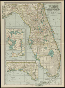
24.
Florida
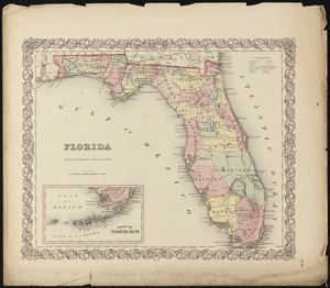
25.
Florida
26.
Florida
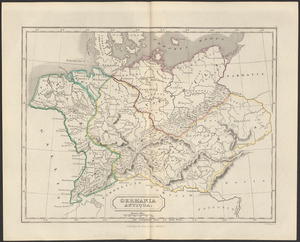
27.
Germania antiqua
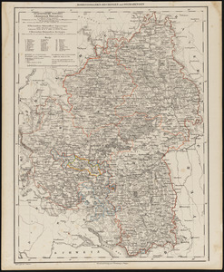
28.
Hohenzollern-Hechingen und Sigmaringen
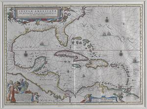
29.
Insulae Americanae in Oceano Septentrionali, cum terris adiacentibus
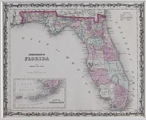
30.
Johnson's Florida
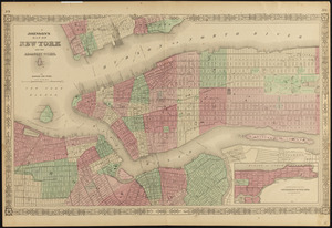
31.
Johnson's map of New York and the adjacent cities
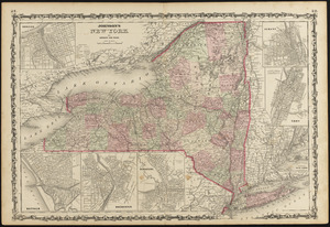
32.
Johnson's New York
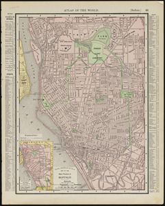
33.
Main portion of Buffalo
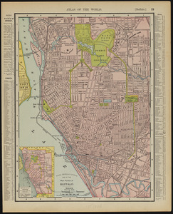
34.
Main portion of Buffalo
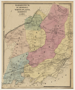
35.
Mamaroneck, Scarsdale, White Plains, Harrison & Rye
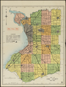
36.
Map of Erie County, New York
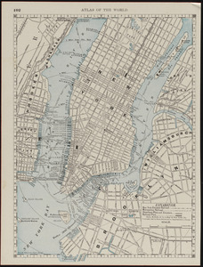
37.
Map of New York and vicinity
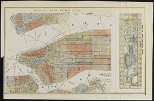
38.
Map of New York City
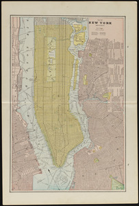
39.
Map of New York City
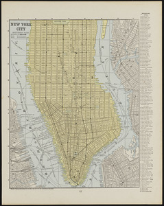
40.
Map of New York City (northern part)
‹ Prev
Next ›
1
2
3
4