Toggle navigation
LMEC Home
Exhibitions
Georeferencing
Tools for Teachers
Collections
My Favorites
Sign Up / Log In
Search
Search the map portal
Map Collection
Map Collection
Map Sets
Search
Search
Search for
Search In
All Fields
Creator
Title
Subject
Place
Search All Digital Collections
Advanced Search
9156 Results
My Search
Start Over
More Like
commonwealth:5x21xn98b
Remove constraint More Like: commonwealth:5x21xn98b
Filter your Search
Place
North and Central America
6,387
United States
5,303
Massachusetts
2,204
Suffolk (county)
1,502
Boston
1,475
Europe
1,396
Canada
449
Asia
438
more
Place
»
Topic
Boston (Mass.)--Maps
752
City planning--Massachusetts--Boston--Maps
418
United States--Maps
282
Real property--Massachusetts--Boston--Maps
253
Urban renewal--Massachusetts--Boston--Maps
253
Landowners--Massachusetts--Boston--Maps
169
Massachusetts--Maps
166
Buildings--Massachusetts--Boston--Maps
126
more
Topic
»
Date
Date range begin
–
Date range end
Current results range from
1482
to
2023
View distribution
Creator
United States. Hydrographic Office
595
Boston Redevelopment Authority
400
O.H. Bailey & Co
148
Des Barres, Joseph F. W. (Joseph Frederick Wallet), 1722-1824
124
United States. Post Office Dept
120
Ptolemy, 2nd cent
100
Walling, Henry Francis, 1825-1888
94
Geological Survey (U.S.)
87
more
Creator
»
Format
Maps/Atlases
9,096
Manuscripts
215
Prints
56
Books
36
Objects/Artifacts
10
Drawings/Illustrations
8
Posters
5
Georeferenced
Yes
885
No
8,271
Collection
Norman B. Leventhal Map & Education Center Collection
8,725
Boston and New England Maps
2,626
Urban Maps
2,407
Maritime Charts and Atlases
1,083
American Revolutionary War-Era Maps
638
Boston Redevelopment Authority Collection
457
Massachusetts Real Estate Atlases
38
Mapping Boston Collection
20
more
Collection
»
Available to use
No known restrictions
8,933
Creative Commons license
70
Search Constraints
Sort by relevance
relevance
title
date (asc)
date (desc)
Number of results to display per page
20 per page
10
per page
20
per page
50
per page
100
per page
View results as:
grid view
map view
Search Results
261.
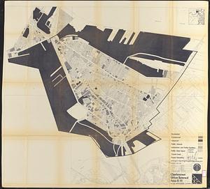
Charlestown urban renewal area r-55 : treatment areas
262.
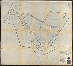
Charlestown urban renewal area r-55 : existing land use
263.
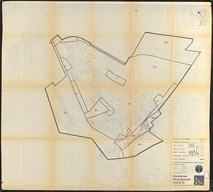
Charlestown urban renewal area r-55 : existing zoning
264.
Charlestown urban renewal area r-55 : proposed zoning
265.
Charlestown urban renewal area r-55 : building deficiencies
266.
Cooperative housing : Whitney Street
267.
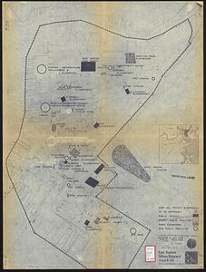
Development of the Calfpasture, Boston, Massachusetts
268.
East Boston urban renewal area r-44 : existing & proposed public facilities
269.
East Boston urban renewal area r-44 : proposed circulation
270.
East Boston urban renewal area r-44 : existing circulation
271.
East Boston urban renewal area r-44 : proposed land use
272.
East Boston urban renewal area r-44 : existing land use
273.
East Boston urban renewal area r-44 : building conditions
274.
East Boston urban renewal area r-44 : existing population density
275.
East Boston urban renewal area r-44 : proposed treatment title I project
276.
East Boston urban renewal area r-44 : existing zoning
277.
East Boston urban renewal area r-44 : proposed zoning
278.
Fenway urban renewal area : major thoroughfares
279.
Fenway urban renewal area : blighted areas
280.
Fenway urban renewal area : locality map
‹ Prev
Next ›
1
2
…
10
11
12
13
14
15
16
17
18
…
457
458