Toggle navigation
LMEC Home
Exhibitions
Georeferencing
Tools for Teachers
Collections
My Favorites
Sign Up / Log In
Search
Search the map portal
Map Collection
Map Collection
Map Sets
Search
Search
Search for
Search In
All Fields
Creator
Title
Subject
Place
Search All Digital Collections
Advanced Search
8754 Results
My Search
Start Over
More Like
commonwealth:4x51mr590
Remove constraint More Like: commonwealth:4x51mr590
Filter your Search
Place
North and Central America
5,985
United States
4,903
Massachusetts
2,086
Europe
1,396
Suffolk (county)
1,105
Boston
1,078
Canada
449
Asia
438
more
Place
»
Topic
Boston (Mass.)--Maps
591
United States--Maps
282
Real property--Massachusetts--Boston--Maps
186
Massachusetts--Maps
162
Landowners--Massachusetts--Boston--Maps
137
City planning--Massachusetts--Boston--Maps
117
North America--Maps--Early works to 1800
103
New England--Maps
102
more
Topic
»
Date
Date range begin
–
Date range end
Current results range from
1482
to
2023
View distribution
Creator
United States. Hydrographic Office
595
O.H. Bailey & Co
148
Des Barres, Joseph F. W. (Joseph Frederick Wallet), 1722-1824
123
United States. Post Office Dept
120
Boston Redevelopment Authority
118
Ptolemy, 2nd cent
100
Walling, Henry Francis, 1825-1888
94
Geological Survey (U.S.)
86
more
Creator
»
Format
Maps/Atlases
8,694
Manuscripts
215
Prints
56
Books
36
Objects/Artifacts
10
Drawings/Illustrations
8
Posters
5
Georeferenced
Yes
870
No
7,884
Collection
Norman B. Leventhal Map & Education Center Collection
8,696
Boston and New England Maps
2,288
Urban Maps
2,076
Maritime Charts and Atlases
1,083
American Revolutionary War-Era Maps
616
Boston Redevelopment Authority Collection
140
Massachusetts Real Estate Atlases
4
Applied Geographics, Inc. Records
1
more
Collection
»
Available to use
No known restrictions
8,607
Creative Commons license
48
Search Constraints
Sort by relevance
relevance
title
date (asc)
date (desc)
Number of results to display per page
20 per page
10
per page
20
per page
50
per page
100
per page
View results as:
grid view
map view
Search Results
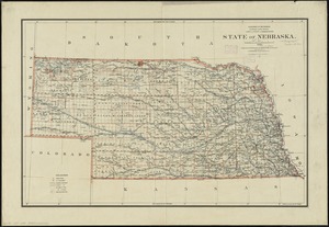
7741.
State of Nebraska
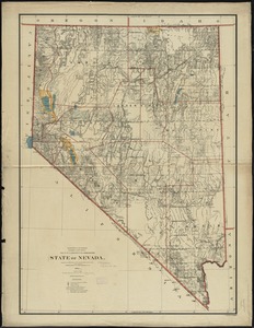
7742.
State of Nevada
7743.
The state of New Hampshire
7744.
The state of New Hampshire : compiled chiefly from actual surveys
7745.
The State of New Jersey : from original surveys based on the triangulation of the U.S. Coast and Geodetic Survey
7746.
The state of New Jersey : economic geology
7747.
The state of New Jersey, compiled from the most authentic information
7748.
State of New York
7749.
The state of New York
7750.
The state of New York, compiled from the best authorities
7751.
The state of New York with part of the adjacent states
7752.
The state of North Carolina from the best authorities, &c
7753.
State of North Dakota
7754.
State of North Dakota
7755.
State of Oaxaca
7756.
State of Ohio
7757.
State of Ohio coal fields and producing districts
7758.
State of Oregon
7759.
The State of Pennsylvania
7760.
The state of Pennsylvania : reduced with permission from Reading Howells map
‹ Prev
Next ›
1
2
…
384
385
386
387
388
389
390
391
392
…
437
438