Toggle navigation
LMEC Home
Exhibitions
Georeferencing
Tools for Teachers
Collections
My Favorites
Sign Up / Log In
Search
Search the map portal
Map Collection
Map Collection
Map Sets
Search
Search
Search for
Search In
All Fields
Creator
Title
Subject
Place
Search All Digital Collections
Advanced Search
8868 Results
My Search
Start Over
More Like
commonwealth:4t64k502g
Remove constraint More Like: commonwealth:4t64k502g
Filter your Search
Place
North and Central America
6,099
United States
5,015
Massachusetts
2,139
Europe
1,396
Suffolk (county)
1,214
Boston
1,187
Canada
449
Asia
438
more
Place
»
Topic
Boston (Mass.)--Maps
752
United States--Maps
282
Real property--Massachusetts--Boston--Maps
195
Massachusetts--Maps
166
City planning--Massachusetts--Boston--Maps
162
Landowners--Massachusetts--Boston--Maps
142
New England--Maps
104
North America--Maps--Early works to 1800
103
more
Topic
»
Date
Date range begin
–
Date range end
Current results range from
1482
to
2023
View distribution
Creator
United States. Hydrographic Office
595
Boston Redevelopment Authority
168
O.H. Bailey & Co
148
Des Barres, Joseph F. W. (Joseph Frederick Wallet), 1722-1824
124
United States. Post Office Dept
120
Ptolemy, 2nd cent
100
Walling, Henry Francis, 1825-1888
94
Geological Survey (U.S.)
87
more
Creator
»
Format
Maps/Atlases
8,808
Manuscripts
215
Prints
56
Books
36
Objects/Artifacts
10
Drawings/Illustrations
8
Posters
5
Georeferenced
Yes
885
No
7,983
Collection
Norman B. Leventhal Map & Education Center Collection
8,724
Boston and New England Maps
2,365
Urban Maps
2,148
Maritime Charts and Atlases
1,083
American Revolutionary War-Era Maps
638
Boston Redevelopment Authority Collection
197
Mapping Boston Collection
20
Massachusetts Real Estate Atlases
12
more
Collection
»
Available to use
No known restrictions
8,671
Creative Commons license
70
Search Constraints
Sort by relevance
relevance
title
date (asc)
date (desc)
Number of results to display per page
20 per page
10
per page
20
per page
50
per page
100
per page
View results as:
grid view
map view
Search Results
7301.
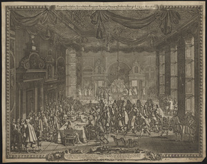
Repræsentatio accubitus regum Sueciæ Daniæ q: Fridericiburgi d. 3, 4 et 5 Mart. 1658
7302.
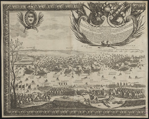
Repraesentatio praelij d. 30 Ianua an. 1658 ad Ifwersnaas commissi inquo Seren. rex Sueciae Carolvs Gvstavus postquam copias...
7303.
Repræsentatio scenographica Arcis Cronenburg auspiciis S.R. M. Sueciæ. ductu vero Exell. Dn. Com. C.G. Wrangelij reg. Sue....
7304.
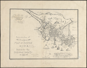
Reproduction of Burgiss' map of Boston, 1728 : printed for the Bostonian Society, 1885
7305.
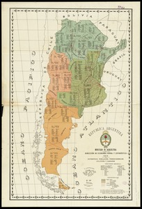
Republica Argentina : superficie, población, ferro-carriles, cultivos y ganados
7306.
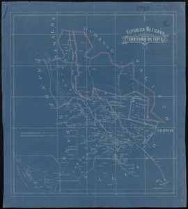
República Mexicana, Territorio de Tepic
7307.
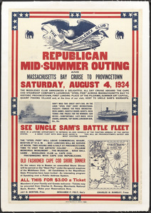
Republican mid-summer outing and Massachusetts Bay Cruise to Provincetown Saturday, August 4, 1934
7308.
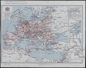
Reseau parcouru par les voitures de la Compagnie Internationale des Wagons-lits
7309.
Rethinking hazardous beliefs : challenging perceptions of the "dirty city"
7310.
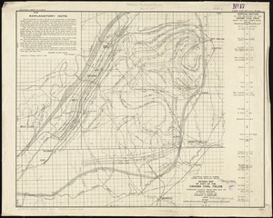
Revised map of part of the Cahaba coal fields
7311.
Revised map of western hydroelectric systems showing transmission lines, power plants and some major undeveloped power sites as...
7312.
Revised plan of house lots belonging to the Duxbury Shore Co : Duxbury, Mass., July 1871
7313.
Rhein Panorama von Cöln nach Düsseldorf und Mainz
7314.
Rhemi : Partie meridionale du dioecese, et archevesché de Rheims en Champagne : la ou sont les Duché, et pairrie partie du...
7315.
Rhemi : partie septentrle du Dioecse et Archevesché de Rheims en Champagne : la ou sont les Bailiage, Duche, et Eslection de...
7316.
Rhenolandiae et Amstellandiae exactissima tabula
7317.
Rhode Island
7318.
Rhode Island
7319.
Rhode Island
7320.
Richard Mayer's commercial map of Northern Chili, Bolivia & southern Peru
‹ Prev
Next ›
1
2
…
362
363
364
365
366
367
368
369
370
…
443
444