Toggle navigation
LMEC Home
Exhibitions
Georeferencing
Tools for Teachers
Collections
My Favorites
Sign Up / Log In
Search
Search the map portal
Map Collection
Map Collection
Map Sets
Search
Search
Search for
Search In
All Fields
Creator
Title
Subject
Place
Search All Digital Collections
Advanced Search
8753 Results
My Search
Start Over
More Like
commonwealth:4m90fd86m
Remove constraint More Like: commonwealth:4m90fd86m
Filter your Search
Place
North and Central America
5,976
United States
4,893
Massachusetts
2,079
Europe
1,396
Suffolk (county)
1,046
Boston
1,019
Canada
472
Asia
438
more
Place
»
Topic
Boston (Mass.)--Maps
586
United States--Maps
330
Real property--Massachusetts--Boston--Maps
175
Massachusetts--Maps
162
Landowners--Massachusetts--Boston--Maps
133
New England--Maps
107
North America--Maps--Early works to 1800
103
Europe--Maps
79
more
Topic
»
Date
Date range begin
–
Date range end
Current results range from
1482
to
2023
View distribution
Creator
United States. Hydrographic Office
595
O.H. Bailey & Co
148
Des Barres, Joseph F. W. (Joseph Frederick Wallet), 1722-1824
123
United States. Post Office Dept
120
Ptolemy, 2nd cent
100
Walling, Henry Francis, 1825-1888
94
Geological Survey (U.S.)
87
Jefferys, Thomas, -1771
85
more
Creator
»
Format
Maps/Atlases
8,693
Manuscripts
215
Prints
56
Books
36
Objects/Artifacts
10
Drawings/Illustrations
8
Posters
5
Georeferenced
Yes
870
No
7,883
Collection
Norman B. Leventhal Map & Education Center Collection
8,700
Boston and New England Maps
2,233
Urban Maps
2,023
Maritime Charts and Atlases
1,083
American Revolutionary War-Era Maps
667
Boston Redevelopment Authority Collection
87
American Antiquarian Society Collection
23
William L. Clements Library Collection
20
more
Collection
»
Available to use
No known restrictions
8,556
Creative Commons license
50
Search Constraints
Sort by relevance
relevance
title
date (asc)
date (desc)
Number of results to display per page
20 per page
10
per page
20
per page
50
per page
100
per page
View results as:
grid view
map view
Search Results
4221.
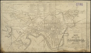
Map of the city of Cambridge : reduced from J. Hayward's, 1838 : with additions and corrections
4222.
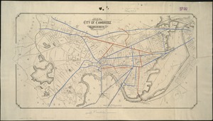
Map of the city of Cambridge
4223.
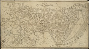
Map of the city of Cambridge
4224.
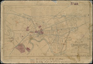
Map of the city of Cambridge, Mass : reduced from J. Hayward's 1838 : with additions and corrections
4225.
Map of the city of Cambridge, Middlesex County, Massachusetts
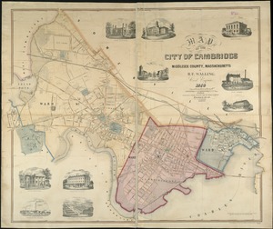
4226.
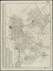
Map of the City of Camden and also the Borough of Wood Lynne
4227.
Map of the city of Charleston, S.C. and vicinity : with table of reference to principle buildings, points of historical interest
4228.
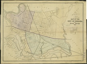
Map of the city of Chelsea : from actual surveys 1867
4229.
Map of the city of Chelsea from actual surveys : 1884
4230.
Map of the city of Chicago, Illinois
4231.
Map of the city of Concord New Hampshire
4232.
Map of the city of Davenport and its suburbs, Scott County, Iowa
4233.
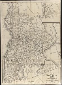
Map of the city of Fall River, Mass.
4234.
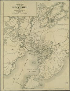
Map of the city of Gloucester, Mass
4235.
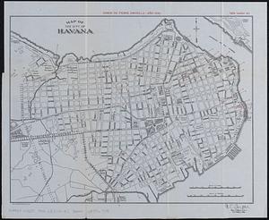
Map of the city of Havana : [casos de fiebre amarilla, muertes de niños menores, y muertes de tuberculosis]
4236.
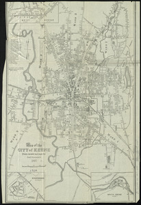
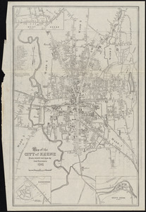
Map of the city of Keene, from recent surveys
4237.
Map of the city of Keene, from recent surveys
4238.
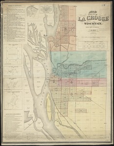
Map of the city of La Crosse, Wisconsin
4239.
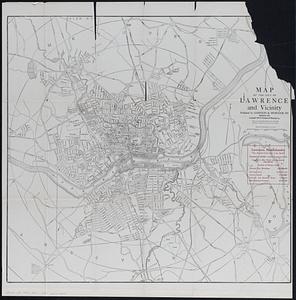
Map of the city of Lawrence and vicinity
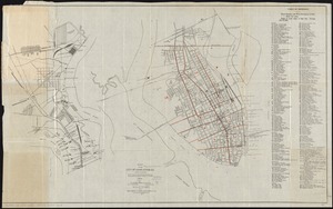
4240.
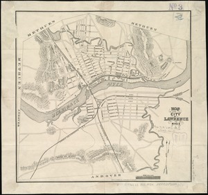
Map of the city of Lawrence Mass
‹ Prev
Next ›
1
2
…
208
209
210
211
212
213
214
215
216
…
437
438