Toggle navigation
LMEC Home
Exhibitions
Georeferencing
Tools for Teachers
Collections
My Favorites
Sign Up / Log In
Search
Search the map portal
Map Collection
Map Collection
Map Sets
Search
Search
Search for
Search In
All Fields
Creator
Title
Subject
Place
Search All Digital Collections
Advanced Search
8396 Results
My Search
Start Over
More Like
commonwealth:3f463907j
Remove constraint More Like: commonwealth:3f463907j
Filter your Search
Place
North and Central America
5,145
United States
3,814
Suffolk (county)
1,188
Boston
1,161
Europe
963
Canada
427
Massachusetts
329
France
269
more
Place
»
Topic
Boston (Mass.)--Maps
740
United States--Maps
270
Massachusetts--Maps
218
Real property--Massachusetts--Boston--Maps
194
City planning--Massachusetts--Boston--Maps
154
Landowners--Massachusetts--Boston--Maps
141
North America--Maps--Early works to 1800
103
New England--Maps
102
more
Topic
»
Date
Date range begin
–
Date range end
Current results range from
1482
to
2023
View distribution
Creator
United States. Hydrographic Office
357
Boston Redevelopment Authority
160
O.H. Bailey & Co
148
Des Barres, Joseph F. W. (Joseph Frederick Wallet), 1722-1824
124
United States. Post Office Dept
120
Ptolemy, 2nd cent
100
Walling, Henry Francis, 1825-1888
95
Geological Survey (U.S.)
88
more
Creator
»
Format
Maps/Atlases
8,336
Manuscripts
219
Prints
51
Books
36
Objects/Artifacts
10
Drawings/Illustrations
8
Posters
4
Ephemera
1
Georeferenced
Yes
894
No
7,502
Collection
Norman B. Leventhal Map Center Collection
8,219
Boston and New England Maps
2,341
Urban Maps
2,045
Maritime Charts and Atlases
750
American Revolutionary War-Era Maps
658
Boston Redevelopment Authority Collection
193
Mapping Boston Collection
22
Massachusetts Real Estate Atlases
22
more
Collection
»
Available to use
No known restrictions
8,162
Creative Commons license
72
Search Constraints
Sort by relevance
relevance
title
date (asc)
date (desc)
Number of results to display per page
20 per page
10
per page
20
per page
50
per page
100
per page
View results as:
grid view
map view
Search Results
61.
Map of Worcester Mass
62.
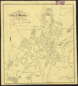
Plan of the central part of the city of Worcester
63.
Pocket map of the city of Worcester, Mass : showing all streets, parks, distances, street car routes, location of public...
64.
Worcester station
65.
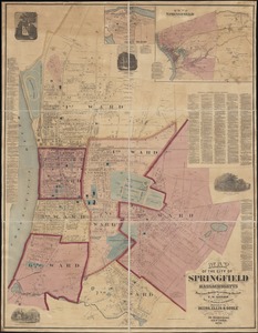
Atlas of Springfield City, Massachusetts
66.
Atlas of the city of Springfield and the town of Longmeadow, Massachusetts : based upon, and carefully compiled from official...
67.
Indian Orchard
68.
Map of Springfield, Massachusetts
69.
Map of the city of Springfield Massachusetts
70.
Plan of Springfield
71.
The Price & Lee Co's map of the city of Springfield Mass.
72.
Richards standard atlas of the city of Springfield and the town of Longmeadow, Massachusetts
73.
Richards standard atlas of the city of Springfield and the town of Longmeadow, Massachusetts [plate 1]
74.
Richards standard atlas of the city of Springfield and the town of Longmeadow, Massachusetts [plate 10]
75.
Richards standard atlas of the city of Springfield and the town of Longmeadow, Massachusetts [plate 9]
76.
Springfield
77.
Springfield : surveyed by direction of the town 1826
78.
The 100th anniversary map of Abraham Lincoln's visit to Massachusetts, September 11-23, 1848
79.
Bicycle map of Massachusetts
80.
Bicycle map of north eastern Massachusetts
‹ Prev
Next ›
1
2
3
4
5
6
7
8
…
419
420


![Richards standard atlas of the city of Springfield and the town of Longmeadow, Massachusetts [plate 1]](https://bpldcassets.blob.core.windows.net/derivatives/images/commonwealth:3f463814r/image_thumbnail_300.jpg)
![Richards standard atlas of the city of Springfield and the town of Longmeadow, Massachusetts [plate 10]](https://bpldcassets.blob.core.windows.net/derivatives/images/commonwealth:3f463818v/image_thumbnail_300.jpg)
![Richards standard atlas of the city of Springfield and the town of Longmeadow, Massachusetts [plate 9]](https://bpldcassets.blob.core.windows.net/derivatives/images/commonwealth:3f4638169/image_thumbnail_300.jpg)


