Toggle navigation
LMEC Home
Exhibitions
Georeferencing
Tools for Teachers
Collections
My Favorites
Sign Up / Log In
Search
Search the map portal
Map Collection
Map Collection
Map Sets
Search
Search
Search for
Search In
All Fields
Creator
Title
Subject
Place
Search All Digital Collections
Advanced Search
8943 Results
My Search
Start Over
More Like
commonwealth:3f463907j
Remove constraint More Like: commonwealth:3f463907j
Filter your Search
Place
North and Central America
6,174
United States
5,076
Massachusetts
2,195
Europe
1,396
Suffolk (county)
1,207
Boston
1,180
Canada
450
Asia
438
more
Place
»
Topic
Boston (Mass.)--Maps
752
United States--Maps
282
Massachusetts--Maps
235
Real property--Massachusetts--Boston--Maps
195
City planning--Massachusetts--Boston--Maps
157
Landowners--Massachusetts--Boston--Maps
142
New England--Maps
106
North America--Maps--Early works to 1800
103
more
Topic
»
Date
Date range begin
–
Date range end
Current results range from
1482
to
2023
View distribution
Creator
United States. Hydrographic Office
595
Boston Redevelopment Authority
162
O.H. Bailey & Co
148
Des Barres, Joseph F. W. (Joseph Frederick Wallet), 1722-1824
124
United States. Post Office Dept
120
Ptolemy, 2nd cent
100
Walling, Henry Francis, 1825-1888
95
Geological Survey (U.S.)
92
more
Creator
»
Format
Maps/Atlases
8,882
Manuscripts
219
Prints
56
Books
36
Objects/Artifacts
10
Drawings/Illustrations
8
Posters
5
Ephemera
1
Georeferenced
Yes
894
No
8,049
Collection
Norman B. Leventhal Map & Education Center Collection
8,765
Boston and New England Maps
2,404
Urban Maps
2,144
Maritime Charts and Atlases
1,083
American Revolutionary War-Era Maps
659
Boston Redevelopment Authority Collection
194
Applied Geographics, Inc. Records
22
Mapping Boston Collection
22
more
Collection
»
Available to use
No known restrictions
8,707
Creative Commons license
73
Search Constraints
Sort by relevance
relevance
title
date (asc)
date (desc)
Number of results to display per page
20 per page
10
per page
20
per page
50
per page
100
per page
View results as:
grid view
map view
Search Results
221.
Ausicht von Boston : nach der natur aufgenommen
222.
Back Bay and Parker Hill parks : Parker Hill and Jamaica parkways : Boston and Roxbury districts
223.
Bartlett's illustrated map of Boston, or, Stranger's guide showing the public buildings, places of amusement & its'...
224.
Block map, vicinity of Faneuil Hall, Boston : embracing Custom House, Post Office Square, Fort Hill Square, and Chamber of...
225.
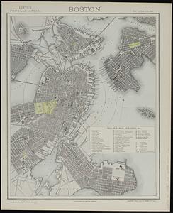
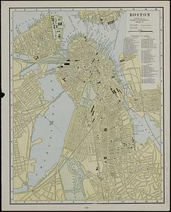
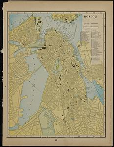
Boston
226.
Boston
227.
Boston
228.
Boston
229.
Boston
230.
Boston
231.
Boston
232.
Boston, 1838
233.
Boston and vicinity
234.
Boston and vicinity
235.
Boston distance to the nearest supermarket
236.
Boston Elevated Railway lines 1921
237.
Boston Elevated Railway lines operated 1925
238.
Boston elevated railway system
239.
Boston Elevated Railway system
240.
Boston Elevated Railway system
‹ Prev
Next ›
1
2
…
8
9
10
11
12
13
14
15
16
…
447
448