Toggle navigation
LMEC Home
Exhibitions
Georeferencing
Tools for Teachers
Collections
My Favorites
Sign Up / Log In
Search
Search the map portal
Map Collection
Map Collection
Map Sets
Search
Search
Search for
Search In
All Fields
Creator
Title
Subject
Place
Search All Digital Collections
Advanced Search
8182 Results
My Search
Start Over
More Like
commonwealth:2514p128d
Remove constraint More Like: commonwealth:2514p128d
Filter your Search
Place
North and Central America
4,913
United States
3,744
Suffolk (county)
1,026
Boston
999
Europe
963
Canada
427
Massachusetts
294
France
269
more
Place
»
Topic
Boston (Mass.)--Maps
574
United States--Maps
270
Real property--Massachusetts--Boston--Maps
174
Massachusetts--Maps
160
Landowners--Massachusetts--Boston--Maps
132
North America--Maps--Early works to 1800
104
New England--Maps
99
Europe--Maps
78
more
Topic
»
Date
Date range begin
–
Date range end
Current results range from
1482
to
2023
View distribution
Creator
United States. Hydrographic Office
357
O.H. Bailey & Co
148
Des Barres, Joseph F. W. (Joseph Frederick Wallet), 1722-1824
123
United States. Post Office Dept
120
Ptolemy, 2nd cent
100
Walling, Henry Francis, 1825-1888
94
Jefferys, Thomas, -1771
85
Geological Survey (U.S.)
82
more
Creator
»
Format
Maps/Atlases
8,123
Manuscripts
215
Prints
51
Books
36
Objects/Artifacts
10
Drawings/Illustrations
8
Posters
4
Georeferenced
Yes
869
No
7,313
Collection
Norman B. Leventhal Map Center Collection
8,165
Boston and New England Maps
2,184
Urban Maps
1,925
Maritime Charts and Atlases
750
American Revolutionary War-Era Maps
623
Boston Redevelopment Authority Collection
86
Sidney R. Knafel Map Collection at Phillips Academy
10
New York Public Library Collection
5
more
Collection
»
Available to use
No known restrictions
8,021
Creative Commons license
56
Search Constraints
Sort by relevance
relevance
title
date (asc)
date (desc)
Number of results to display per page
10 per page
10
per page
20
per page
50
per page
100
per page
View results as:
grid view
map view
Search Results
31.
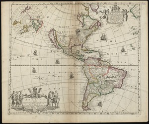
A new mapp of America devided according to the best and latest observations and discoveries wherein are described by thear...
32.
A new, plaine, and exact map of America : described by N.I. Visscher, and don into English, enlarged, and corrected, according...
33.
Nieuwe kaart van America uitgegeven te Amsterdam
34.
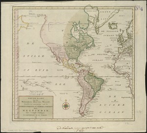
Nieuwe kaart van het westelykste deel der weereld, dienende tot aanwyzing van de scheepstogten der Nederlanderen naar Westindie...
35.
Nouvelle carte de l'Amerique : avec tous ses royaumes, etats, iles, ports, bayes et rivieres, dressée suivant les plus...
36.
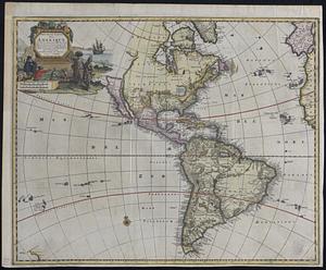
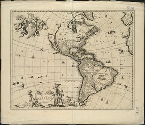
Nova totivs Americae descriptio
37.
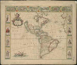
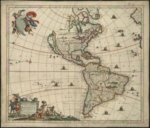
Novissima et accuratissima totius Americae descriptio
38.
Novissima et accuratissima totius Americae descriptio
39.
Recentissima novi orbis sive Americae septentrionalis et meridionalis tabula
40.
Recentissima novi orbis sive Americae septentrionalis et meridionalis tabula
‹ Prev
Next ›
1
2
3
4
5
6
7
8
…
818
819